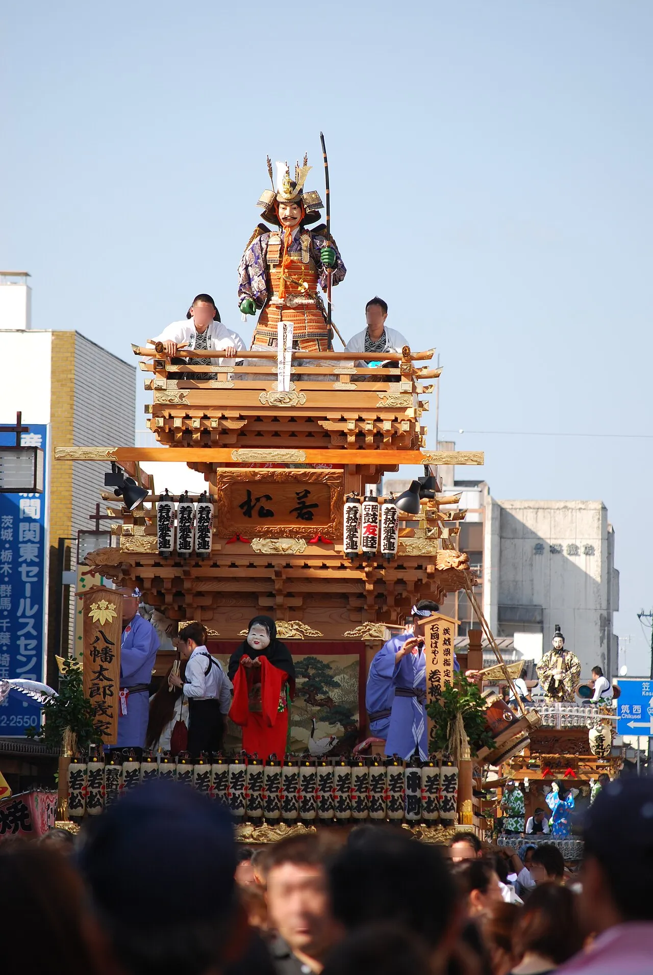
- Population
- 73,061
- 73.1K
- Elevation
- 4 m
- above sea level
- Local time
- UTC+09:00
- Asia/Tokyo · UTC+09:00
- Airports
- IBR Ibaraki Airport13 km
- NRT Narita International Airport47 km
About Ishioka
Ishioka is a city. Location: Ishioka Shi, Ibaraki. Population: 73,061. Elevation: 4 m.
Ishioka (石岡市, Ishioka-shi; Japanese pronunciation: [ì.ɕí.ó̞.kä́(.ɕì)]) is a Japanese city located in Ibaraki Prefecture, Japan. As of 1 January 2024, the city had an estimated population of 70,124 in 28,892 households and a population density of 325 persons per km2. The percentage of the population aged over 65 was 33.5%. The total area of the city is 215.53 square kilometres (83.22 sq mi).
Source: Wikipedia · CC BY-SA 4.0
Photos of Ishioka
-

小石川人晃 · CC BY-SA 4.0 -

小石川人晃 · CC BY-SA 4.0 -

Nyao148 · CC BY-SA 3.0 -

Toshihiro Matsui · CC BY-SA 3.0 -

Toshihiro Matsui · CC BY-SA 3.0


Places bordering Ishioka
- Tsuchiura-shi
- Tsukuba Shi
- Kasumigaura
- Kasama Shi
- Sakuragawa
Population of Ishioka over time
| 2010 | 79,687 | |
|---|---|---|
| 2015 | 76,020 | |
| 2021 | 71,851 |
Censuses and official estimates; source: Wikidata.
Climate of Ishioka
Best months for sightseeingBest months for sightseeing: May–June, September–October.
This month · November
Outside the best season
Day 15° · Night 5° · Rain 81 mm
Better nearby cities in November
- Isehara · 123 km southwest18°
- Odawara · 144 km southwest19°
- Kofu · 163 km west17°
- Hottest month
- August (day 29°)
- Coldest month
- January (night -3°)
- Wettest month
- September (184 mm)
- Driest month
- January (36 mm)
Bars: average monthly low and high temperature. Below: precipitation. Monthly averages for 1970–2000 at about 18 km resolution, adjusted for elevation. Highlighted months are mild and relatively dry. Source: WorldClim 2.1 (CC BY 4.0).
Show values as a table
| Month | Jan | Feb | Mar | Apr | May | Jun | Jul | Aug | Sep | Oct | Nov | Dec |
|---|---|---|---|---|---|---|---|---|---|---|---|---|
| Average high (°C) | 8° | 9° | 12° | 17° | 21° | 23° | 27° | 29° | 25° | 20° | 15° | 11° |
| Average low (°C) | -3° | -2° | 2° | 7° | 12° | 17° | 20° | 22° | 18° | 12° | 5° | 0° |
| Precipitation (mm) | 36 | 58 | 90 | 116 | 128 | 166 | 146 | 139 | 184 | 174 | 81 | 45 |
Other places to visit in this season: May June September October
How to get to Ishioka
The nearest airport is Ibaraki Airport (IBR), 13 km to the east as the crow flies. The nearest large city is Tsuchiura, 11 km to the southwest.
Airports
- Ibaraki Airport (IBR) Omitama 13 kmeast
- Narita International Airport (NRT) Narita 47 kmsouth
- Tokyo Haneda International Airport (HND) Tokyo 83 kmsouthwest
Nearby large cities
- Tsuchiura Population: 144.4K 11 kmsouthwest
- Tsukuba Population: 241.7K 17 kmsouthwest
- Mito Population: 270.7K 25 kmnortheast
- Chikusei Population: 100.8K 29 kmnorthwest
- Katsuta Population: 156K 33 kmnortheast
Straight-line distances; road distances are longer. Airport data: OurAirports.
Day trips from Ishioka
Within 100 km: 40 historic and cultural sites, 13 natural sites, 29 lakes, rivers and coasts.
0–25 km3 places
- Mount_Tsukuba Mountain 16 kmW
- Mount Kaba Mountain 17 kmNW
- Lake Kasumigaura Lake 20 kmSE
25–60 km8 places
- Kuji-gawa River 46 kmNE
- Mount Yamizo Mountain 35 kmN
- Saitama Stadium 2002 Landmark 58 kmSW
- Watarase River River 51 kmW
60–100 km71 places
- Saitama Super Arena Landmark 66 kmSW
- Umeda Ko Lake 83 kmNW
- Iruma River River 72 kmSW
- Ueno Dōbutsuen Attraction 68 kmSW
Straight-line distances.
Ishioka and similar cities
Side by side with cities of similar size in the same country: population, elevation and climate.
| Measure | Ishioka | Dazaifu | Yoshikawa | Kasama |
|---|---|---|---|---|
| Population | 73.1K | 73.2K | 73.3K | 73.7K |
| Elevation | 4 m | 42 m | 4 m | 177 m |
| Summer day (hottest month) | 29° | 31° | 30° | 28° |
| Winter night (coldest month) | -3° | 2° | -1° | -4° |
| Annual rainfall | 1,363 mm | 1,876 mm | 1,327 mm | 1,366 mm |
| Best months | May–Jun, Sep–Oct | May–Jun, Oct | May–Jun, Oct | May–Jul, Sep–Oct |
| Distance | — | 938 km | 50 km | 22 km |
Climate values are 1970–2000 monthly averages; straight-line distance.
Nearby attractions & nature
Everything nearby-
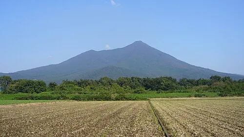 Mount_Tsukuba Mountain, Tsukuba Shi16 km W
-
Mount Kaba Mountain, Ishioka Shi17 km NW
-
 Lake Kasumigaura Lake, Ibaraki20 km SE
Sources & licences
Data last updated: · 2 independent sources