- Elevation
- 0 m
- above sea level
- Local time
- UTC+09:00
- Asia/Tokyo · UTC+09:00
- Airports
- NRT Narita International Airport44 km
- HND Tokyo Haneda International Airport46 km
About Kinu Gawa
Kinu Gawa is a river. Location: Japan.
Kinugawa River, Kinugawa, or Kinu River (鬼怒川, Kinu-gawa), is a river on the main island of Honshu in Japan. It flows from the north to the south on the Kantō plain, merging with Tone River (利根川, Tone-gawa). At 176.7 km in length, it is the longest tributary of Tone-gawa. Before the river engineering projects in the Edo Period, when the Tone River was diverted into its course, the Kinu River flowed on its own into the Pacific Ocean. From ancient times, it has been known to cause floods.
Read more on Wikipedia Text: Wikipedia contributors · CC BY-SA 4.0 · shortened
At a glance
- Length
- 177 km
Source: Wikidata
Climate of Kinu Gawa
Best months for sightseeingBest months for sightseeing: May–June, October.
Bars: average monthly low and high temperature. Below: precipitation. Monthly averages for 1970–2000 at about 18 km resolution, adjusted for elevation. Highlighted months are mild and relatively dry. Source: WorldClim 2.1 (CC BY 4.0).
Show values as a table
| Month | Jan | Feb | Mar | Apr | May | Jun | Jul | Aug | Sep | Oct | Nov | Dec |
|---|---|---|---|---|---|---|---|---|---|---|---|---|
| Average high (°C) | 9° | 10° | 13° | 18° | 22° | 25° | 28° | 30° | 26° | 21° | 16° | 12° |
| Average low (°C) | -1° | 0° | 3° | 9° | 14° | 18° | 21° | 23° | 19° | 13° | 7° | 1° |
| Precipitation (mm) | 36 | 54 | 90 | 112 | 119 | 160 | 143 | 143 | 191 | 163 | 79 | 37 |
Airports nearest to Kinu Gawa
- Narita International Airport (NRT) Narita 44 km
- Tokyo Haneda International Airport (HND) Tokyo 46 km
- Ibaraki Airport (IBR) Omitama 50 km
Straight-line distance; airports with scheduled flights only. Source: OurAirports (public domain).
Nearest towns and villages
-
Moriya City, Moriya-shi4.5 km E
-
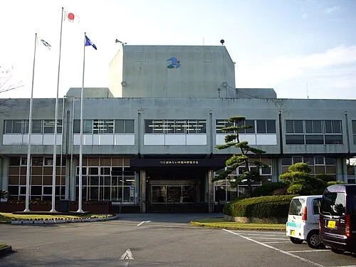 Tsukubamirai City, Tsukuba-mirai Shi7.4 km NE
-
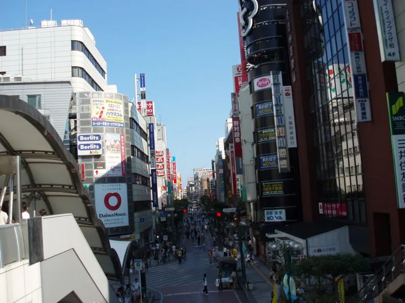 Kashiwa City, Kashiwa Shi8.8 km S
-
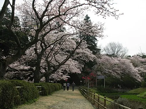 Noda City, Noda-shi7.5 km W
-
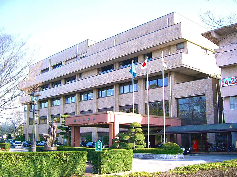 Nagareyama City, Nagareyama-shi10 km SW
-
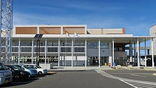 Mitsukaidō Town, Jōsō Shi9.2 km N
Nearby attractions & nature
Everything nearby-
Lake Tega Lake, Japan16 km SE
-
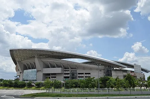 Saitama Stadium 2002 Landmark, Midori-ku21 km W
More lakes, rivers and coasts in Japan
-
Ayase River River, Tokyo26 km S
-
Kanda River River, Tokyo31 km SW
-
Sumida River River, Tokyo36 km SW
-
Ebi River River, Chiba27 km S
-
Arakawa Drainage Canal River, Japan33 km S
-
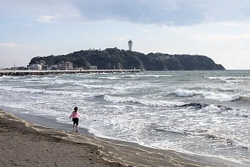 Enoshima Island, Kanagawa83 km SW
Sources & licences
Data last updated: · 2 independent sources