- Local time
- UTC+09:00
- Asia/Tokyo · UTC+09:00
- Elevation
- 27 m
- above sea level
- Airports
- HND Tokyo Haneda International Airport77 km
- IBR Ibaraki Airport91 km
About Kumagaya Rugby Ground
Kumagaya Rugby Ground is a landmark. Location: Kumagaya, Saitama.
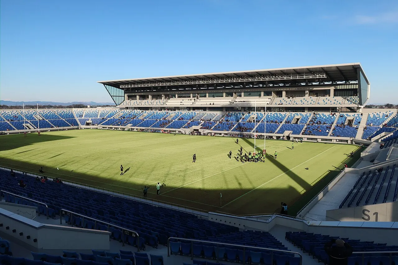
Kumagaya Rugby Stadium (熊谷ラグビー場), is a rugby stadium in Kumagaya, Saitama Prefecture, Japan. It is currently used mostly for rugby union matches. The stadium was built in 1991 and renovated between 2016 and 2018. Its capacity expanded from 20,000 (10,000 seated) to 24,000 (fully seated). The stadium is part of a larger sports complex which includes the Kumagaya Athletic Stadium, a smaller athletics stadium and a large arena. The complex is located in the Kumagaya Park.
Source: Wikipedia · CC BY-SA 4.0
At a glance
- Built
- 1990
- Opened
- 1991
- Architect
- Shimizu Corporation, MHS Planners, Architects and Engineers
Source: Wikidata
Photos of Kumagaya Rugby Ground
-

L-Crt.Rocks are Trad.Jap.Terr · CC BY-SA 4.0 -

Wakuna99 · CC BY-SA 4.0 -

Wakuna99 · CC BY-SA 4.0


Climate of Kumagaya Rugby Ground
Best months for sightseeingBest months for sightseeing: May, October.
This month · November
Outside the best season
Day 16° · Night 6° · Rain 66 mm
Better nearby cities in November
- Isehara · 86 km south18°
- Kofu · 94 km southwest17°
- Odawara · 104 km south19°
- Hottest month
- August (day 31°)
- Coldest month
- January (night -2°)
- Wettest month
- September (185 mm)
- Driest month
- January (37 mm)
Bars: average monthly low and high temperature. Below: precipitation. Monthly averages for 1970–2000 at about 18 km resolution, adjusted for elevation. Highlighted months are mild and relatively dry. Source: WorldClim 2.1 (CC BY 4.0).
Show values as a table
| Month | Jan | Feb | Mar | Apr | May | Jun | Jul | Aug | Sep | Oct | Nov | Dec |
|---|---|---|---|---|---|---|---|---|---|---|---|---|
| Average high (°C) | 9° | 10° | 13° | 19° | 23° | 25° | 29° | 31° | 26° | 21° | 16° | 12° |
| Average low (°C) | -2° | -1° | 2° | 8° | 13° | 17° | 21° | 22° | 19° | 12° | 6° | 0° |
| Precipitation (mm) | 37 | 51 | 68 | 91 | 110 | 164 | 143 | 158 | 185 | 132 | 66 | 38 |
How to get to Kumagaya Rugby Ground
The nearest airport is Tokyo Haneda International Airport (HND), 77 km to the southeast as the crow flies. The nearest large city is Kumagaya, 4 km to the south.
Airports
- Tokyo Haneda International Airport (HND) Tokyo 77 kmsoutheast
- Ibaraki Airport (IBR) Omitama 91 kmeast
- Narita International Airport (NRT) Narita 99 kmsoutheast
Nearby large cities
- Kumagaya Population: 195.3K 4 kmsouth
- Fukayachō Population: 141.3K 11 kmwest
- Ōta Population: 224.4K 15 kmnorth
- Kōnosu Population: 116.8K 15 kmsoutheast
- Kazo Population: 112.8K 19 kmeast
Straight-line distances; road distances are longer. Airport data: OurAirports.
Day trips from Kumagaya Rugby Ground
Within 100 km: 48 historic and cultural sites, 50 natural sites, 36 lakes, rivers and coasts.
0–25 km1 place
- Karasu River River 24 kmNW
25–60 km22 places
- Saitama Super Arena Landmark 37 kmSE
- Umeda Ko Lake 34 kmN
- Mount Bukō Mountain 36 kmSW
- Iruma River River 31 kmSE
60–100 km111 places
- Enoshima Island 97 kmS
- Lake Yamanaka Lake 96 kmSW
- Saiko Lake Lake 98 kmSW
- Lake Kawaguchi Lake 93 kmSW
Straight-line distances.
Nearest towns and villages
-
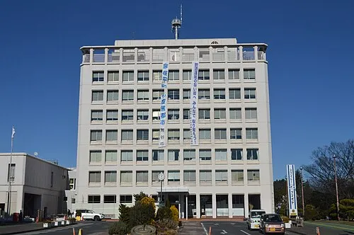 Kumagaya City, Kumagaya3.9 km S
-
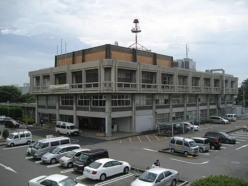 Gyōda City, Gyōda Shi6.1 km SE
-
Menuma Town, Kumagaya6.3 km N
-
 Ōizumi-machi Municipality, Ōra-gun9 km N
Sources & licences
Data last updated: · 2 independent sources