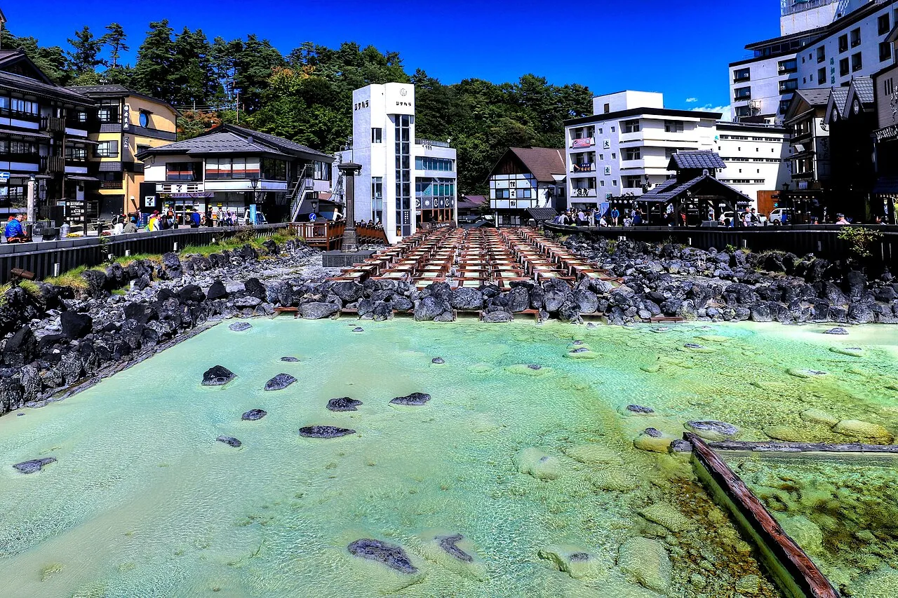
- Population
- 1,937,626
- 1.9M
- Elevation
- 351 m
- above sea level
- Local time
- UTC+09:00
- Asia/Tokyo · UTC+09:00
- Places inside
- 26
- listed under Gunma
- Airports
- MMJ Shinshu-Matsumoto Airport102 km
- HND Tokyo Haneda International Airport129 km
About Gunma
Gunma is a region. Location: Japan. Population: 1,937,626.
Gunma Prefecture (群馬県, Gunma-ken; Japanese pronunciation: [ɡɯ̈́m̀.mä̀, ɡɯ̈̀ḿ.mä́.kè̞ɴ̀, ɡɯ̈́ḿ.mä́.kè̞ɴ̀]) is an inland prefecture of Japan located in the Kantō region of Honshu. Gunma Prefecture has a population of 1,937,626 (1 October 2019) and has a geographic area of 6,362 square kilometres (2,456 sq mi). Gunma Prefecture borders Niigata Prefecture and Fukushima Prefecture to the north, Nagano Prefecture to the southwest, Saitama Prefecture to the south, and Tochigi Prefecture to the east.
Read more on Wikipedia Text: Wikipedia contributors · CC BY-SA 4.0 · shortened
Places bordering Gunma
Climate of Gunma
Best months for sightseeingBest months for sightseeing: May–June, September–October.
Bars: average monthly low and high temperature. Below: precipitation. Monthly averages for 1970–2000 at about 18 km resolution, adjusted for elevation. Highlighted months are mild and relatively dry. Source: WorldClim 2.1 (CC BY 4.0).
Show values as a table
| Month | Jan | Feb | Mar | Apr | May | Jun | Jul | Aug | Sep | Oct | Nov | Dec |
|---|---|---|---|---|---|---|---|---|---|---|---|---|
| Average high (°C) | 6° | 6° | 9° | 16° | 21° | 24° | 28° | 29° | 24° | 19° | 14° | 9° |
| Average low (°C) | -4° | -3° | -1° | 5° | 10° | 15° | 19° | 21° | 17° | 10° | 4° | -1° |
| Precipitation (mm) | 87 | 87 | 81 | 91 | 106 | 166 | 186 | 186 | 194 | 125 | 72 | 67 |
Other places to visit in this season: May June September October
Airports nearest to Gunma
- Shinshu-Matsumoto Airport (MMJ) Matsumoto 102 km
- Tokyo Haneda International Airport (HND) Tokyo 129 km
- Ibaraki Airport (IBR) Omitama 134 km
Straight-line distance; airports with scheduled flights only. Source: OurAirports (public domain).
Places in Gunma
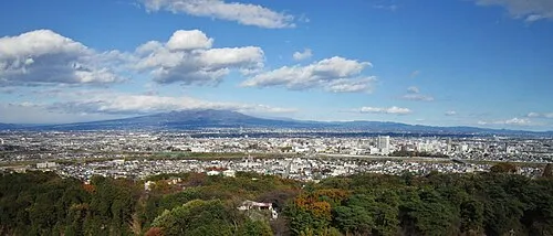
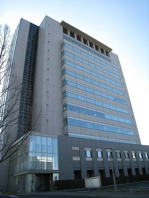
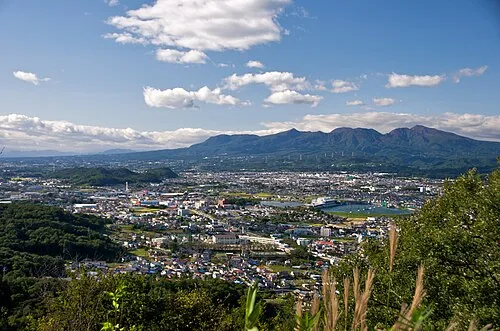
26 places- 1 Takasaki Shi 375.2K
- 2 Maebashi Shi 340.9K
- 3 Ōta-shi 221.2K
- 4 Isesaki Shi 211.1K
- 5 Kiryū Shi 120.2K
- 6 Shibukawa-shi 82.5K
- 7 Tatebayashi Shi 78.5K
- 8 Fujioka Shi 68.3K
- 9 Annaka Shi 61.7K
- 10 Agatsuma-gun 58.1K
- 11 Midori Shi 52.1K
- 12 Numata Shi 51.4K
- 13 Tomioka-shi 51.4K
Bar: population relative to the most populous place in this list.
-
Agatsuma River River
-
Kanra-gun District
-
Kitagumma-gun District
-
Lake Haruna Lake
-
Mount Akagi Mountain
-
Mount Haruna Mountain
-
Mount Kusatsu-Shirane Mountain
-
Mount Myōgi Mountain
-
Ōra-gun District
-
Sawa-gun District
-
Tano-gun District
-
Tone-gun District
-
Umeda Ko Lake
Largest cities and towns

Nature and heritage in Gunma
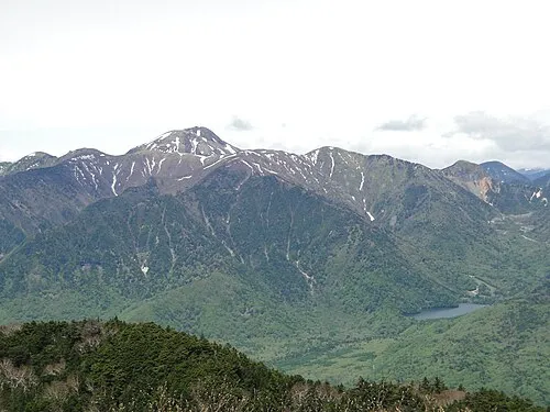
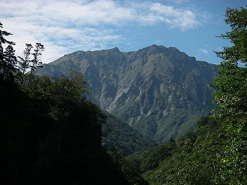
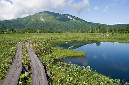
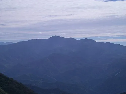
Sources & licences
Data last updated: · 2 independent sources