- Population
- 64,539
- 64.5K
- Elevation
- 94 m
- above sea level
- Local time
- UTC+09:00
- Asia/Tokyo · UTC+09:00
- Airports
- HND Tokyo Haneda International Airport101 km
- MMJ Shinshu-Matsumoto Airport104 km
About Fujioka
Fujioka is a city. Location: Fujioka Shi, Gunma. Population: 64,539. Elevation: 94 m.
Fujioka (藤岡市, Fujioka-shi) is a city located in Gunma Prefecture, Japan. As of 1 August 2020, the city had an estimated population of 64,539 in 27,616 households, and a population density of 360/km2 (930/sq mi). The total area of the city is 180.29 km2 (69.61 sq mi).
Source: Wikipedia · CC BY-SA 4.0
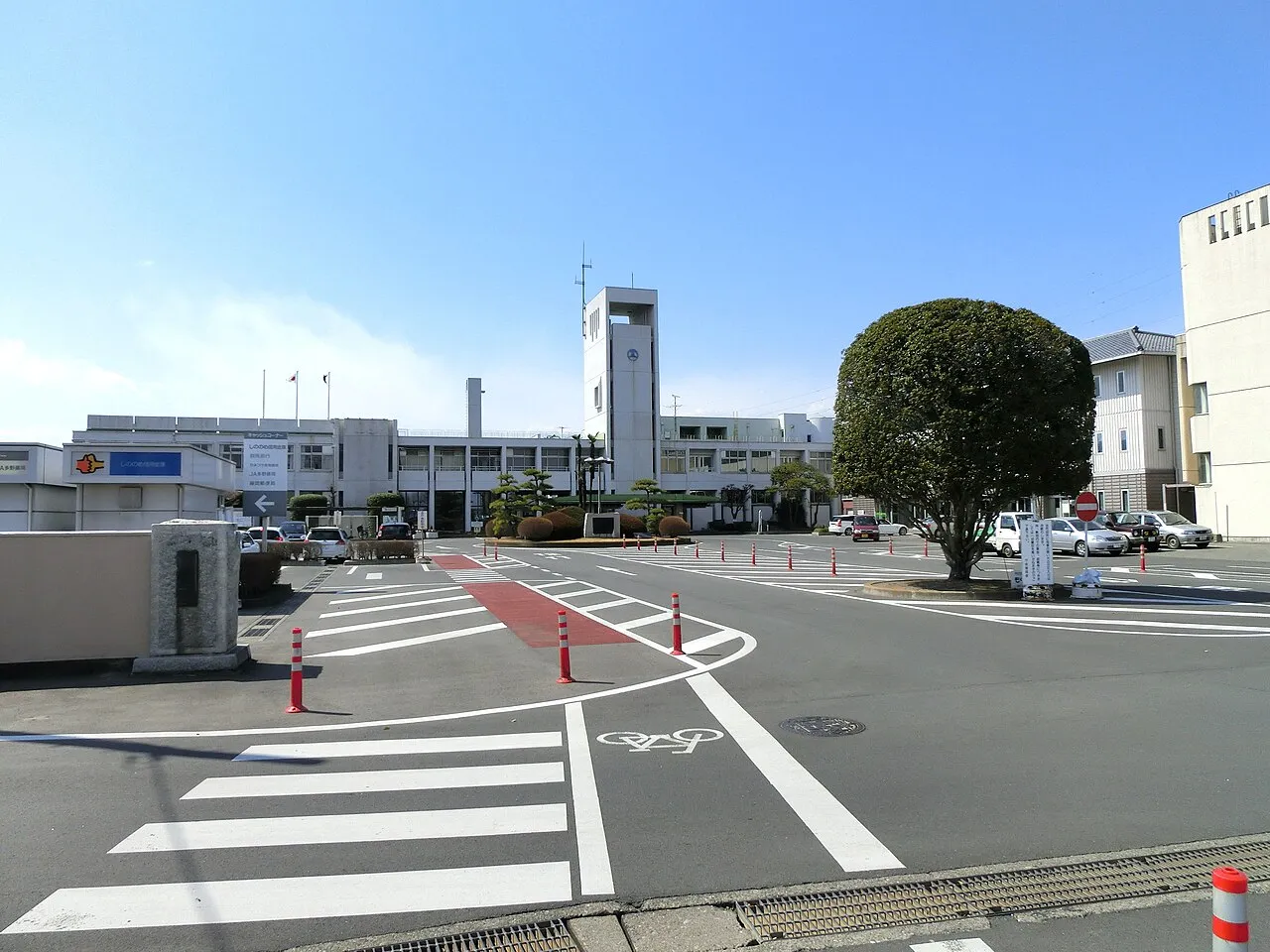
Photos of Fujioka
-

wakanmuri from Japan · CC BY 2.0 -

Terabita34 · CC BY-SA 4.0 -

スティーブ・ミズキ · CC BY-SA 4.0 -

スティーブ・ミズキ · CC BY-SA 4.0 -

muo1417 · CC BY 2.0


Travel notes for Fujioka
From Wikivoyage
Fujioka (藤岡) is a city in Gunma Prefecture.
Understand+
Fujioka originates from the Japanese kanji words "wisteria" and "hill" meaning "Wisteria Hill" in English
Tourist information site:
The local tourist association has a Japanese-only guide site.
Source: Wikivoyage · CC BY-SA 4.0 · abridged
Places bordering Fujioka
- Takasaki
- Chichibu
- Tamamura Machi
- Kanna Machi
- Kanra-machi
- Kamikawa-machi
- Kamisato-machi
Twin towns and sister cities of Fujioka
- Bend· United States
- Tsushima-shi· Japan
- Kōnan· Japan
Source: Wikidata. Only places with a page on this site are shown.
Population of Fujioka over time
| 2010 | 67,975 | |
|---|---|---|
| 2015 | 65,708 | |
| 2021 | 62,608 |
Censuses and official estimates; source: Wikidata.
Climate of Fujioka
Best months for sightseeingBest months for sightseeing: May, October.
This month · November
Outside the best season
Day 16° · Night 5° · Rain 67 mm
Better nearby cities in November
- Kofu · 79 km southwest17°
- Isehara · 97 km south18°
- Odawara · 110 km south19°
- Hottest month
- August (day 31°)
- Coldest month
- January (night -3°)
- Wettest month
- September (185 mm)
- Driest month
- December (46 mm)
Bars: average monthly low and high temperature. Below: precipitation. Monthly averages for 1970–2000 at about 18 km resolution, adjusted for elevation. Highlighted months are mild and relatively dry. Source: WorldClim 2.1 (CC BY 4.0).
Show values as a table
| Month | Jan | Feb | Mar | Apr | May | Jun | Jul | Aug | Sep | Oct | Nov | Dec |
|---|---|---|---|---|---|---|---|---|---|---|---|---|
| Average high (°C) | 9° | 10° | 13° | 19° | 23° | 26° | 29° | 31° | 26° | 21° | 16° | 12° |
| Average low (°C) | -3° | -2° | 1° | 7° | 12° | 17° | 21° | 22° | 18° | 12° | 5° | 0° |
| Precipitation (mm) | 51 | 60 | 70 | 84 | 100 | 155 | 150 | 168 | 185 | 125 | 67 | 46 |
How to get to Fujioka
The nearest airport is Tokyo Haneda International Airport (HND), 101 km to the southeast as the crow flies. The nearest large city is Takasaki, 11 km to the northwest.
Airports
- Tokyo Haneda International Airport (HND) Tokyo 101 kmsoutheast
- Shinshu-Matsumoto Airport (MMJ) Matsumoto 104 kmwest
- Ibaraki Airport (IBR) Omitama 121 kmeast
Nearby large cities
- Takasaki Population: 373K 11 kmnorthwest
- Isesaki Population: 211.8K 14 kmnortheast
- Maebashi Population: 332.1K 17 kmnorth
- Fukayachō Population: 141.3K 20 kmeast
- Ōta Population: 224.4K 27 kmeast
Straight-line distances; road distances are longer. Airport data: OurAirports.
Day trips from Fujioka
Within 100 km: 38 historic and cultural sites, 55 natural sites, 25 lakes, rivers and coasts.
0–25 km1 place
- Karasu River River 10 kmE
25–60 km20 places
- Umeda Ko Lake 40 kmNE
- Mount Bukō Mountain 33 kmS
- Iruma River River 57 kmSE
- Watarase River River 57 kmE
60–100 km97 places
- Saitama Super Arena Landmark 64 kmSE
- Lake Shoji Lake 94 kmSW
- Mount Senjō Mountain 99 kmSW
- Mount Nokogiri Mountain 93 kmSW
Straight-line distances.
Fujioka and similar cities
Side by side with cities of similar size in the same country: population, elevation and climate.
| Measure | Fujioka | Yanagawa | Tomigusuku | Asahi |
|---|---|---|---|---|
| Population | 64.5K | 64.5K | 64.6K | 64.7K |
| Elevation | 94 m | 1 m | 47 m | 5 m |
| Summer day (hottest month) | 31° | 32° | 31° | 29° |
| Winter night (coldest month) | -3° | 1° | 14° | -1° |
| Annual rainfall | 1,261 mm | 1,757 mm | 2,105 mm | 1,455 mm |
| Best months | May, Oct | May, Oct | Nov–May | May–Jul, Sep–Oct |
| Distance | — | 864 km | 1,554 km | 154 km |
Climate values are 1970–2000 monthly averages; straight-line distance.
Sources & licences
Data last updated: · 2 independent sources