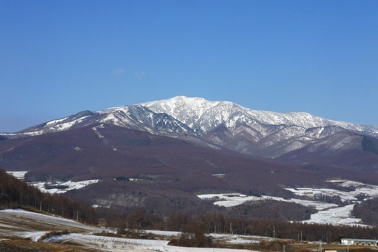
- Elevation
- 3,254 m
- above sea level
- Local time
- UTC+09:00
- Asia/Tokyo · UTC+09:00
- Airports
- MMJ Shinshu-Matsumoto Airport61 km
- TOY Toyama Kitokito Airport111 km
About Azumaya San
Azumaya San is a mountain. Location: Tsumagoi Mura, Agatsuma-gun. Elevation: 3,254 m.
Mount Azumaya (四阿山, Azumaya-san) is a stratovolcano in Japan. The 2,354-metre-high (7,723 ft) peak lies on the border of Nagano Prefecture and Gunma Prefecture. There exist alternative spellings of the mountain's name, like: 吾妻山 and 吾嬬山 which is read as "Agatsuma-yama" (Mount Agatsuma). In the village Tsumagoi, the mountain is spelled 吾妻山. The mountain should not be confused with Mount Azumaya (四阿屋山, Azumaya-san) of which there are two, one in Nagano Prefecture and the other in Saitama Prefecture.
Source: Wikipedia · CC BY-SA 4.0
Photos of Azumaya San
-

Raita Futo from Tokyo, Japan · CC BY 2.0 -

Raita Futo from Tokyo, Japan · CC BY 2.0 -

Raita Futo from Tokyo, Japan · CC BY 2.0


Climate of Azumaya San
This month · November
A cold month
Day -4° · Night -13° · Rain 77 mm
Better nearby cities in November
- Kofu · 98 km south17°
- Fujinomiya · 149 km south18°
- Isehara · 150 km southeast18°
- Hottest month
- August (day 12°)
- Coldest month
- January (night -22°)
- Wettest month
- September (220 mm)
- Driest month
- December (49 mm)
Bars: average monthly low and high temperature. Below: precipitation. Monthly averages for 1970–2000 at about 18 km resolution, adjusted for elevation. Highlighted months are mild and relatively dry. Source: WorldClim 2.1 (CC BY 4.0).
Show values as a table
| Month | Jan | Feb | Mar | Apr | May | Jun | Jul | Aug | Sep | Oct | Nov | Dec |
|---|---|---|---|---|---|---|---|---|---|---|---|---|
| Average high (°C) | -13° | -13° | -9° | -1° | 4° | 7° | 11° | 12° | 7° | 2° | -4° | -9° |
| Average low (°C) | -22° | -22° | -19° | -13° | -7° | -2° | 2° | 3° | -1° | -8° | -13° | -19° |
| Precipitation (mm) | 57 | 64 | 85 | 112 | 129 | 199 | 213 | 214 | 220 | 130 | 77 | 49 |
How to get to Azumaya San
The nearest airport is Shinshu-Matsumoto Airport (MMJ), 61 km to the southwest as the crow flies. The nearest large city is Ueda, 20 km to the southwest.
Airports
- Shinshu-Matsumoto Airport (MMJ) Matsumoto 61 kmsouthwest
- Toyama Kitokito Airport (TOY) Toyama 111 kmwest
- Noto Satoyama Airport (NTQ) Wajima 154 kmnorthwest
Nearby large cities
- Ueda Population: 157.5K 20 kmsouthwest
- Nagano Population: 372.8K 24 kmnorthwest
- Matsumoto Population: 241.1K 53 kmsouthwest
- Takasaki Population: 373K 59 kmsoutheast
- Maebashi Population: 332.1K 62 kmeast
Straight-line distances; road distances are longer. Airport data: OurAirports.
Day trips from Azumaya San
Within 100 km: 3 historic and cultural sites, 61 natural sites, 13 lakes, rivers and coasts.
0–25 km3 places
- Mount Asama Mountain 18 kmSE
- Mount Kusatsu-Shirane Mountain 15 kmNE
- Takama Yama Mountain 24 kmE
25–60 km27 places
- Lake Kizaki Lake 52 kmW
- Lake Nojiri Lake 36 kmNW
- Tanigawa Dake Mountain 56 kmNE
- Mount Myōkō Mountain 47 kmNW
60–100 km47 places
- Honshu Island 71 kmSW
- Mount Senjō Mountain 94 kmS
- Mount Nokogiri Mountain 87 kmS
- Chausu-yama Mountain 97 kmSW
Straight-line distances.
Nearest towns and villages
-
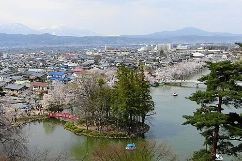 Suzaka City, Suzaka-shi15 km NW
-
 Takayama Mura Municipality, Kamitakai-gun13 km N
-
 Kusatsu Machi Municipality, Agatsuma-gun16 km NE
-
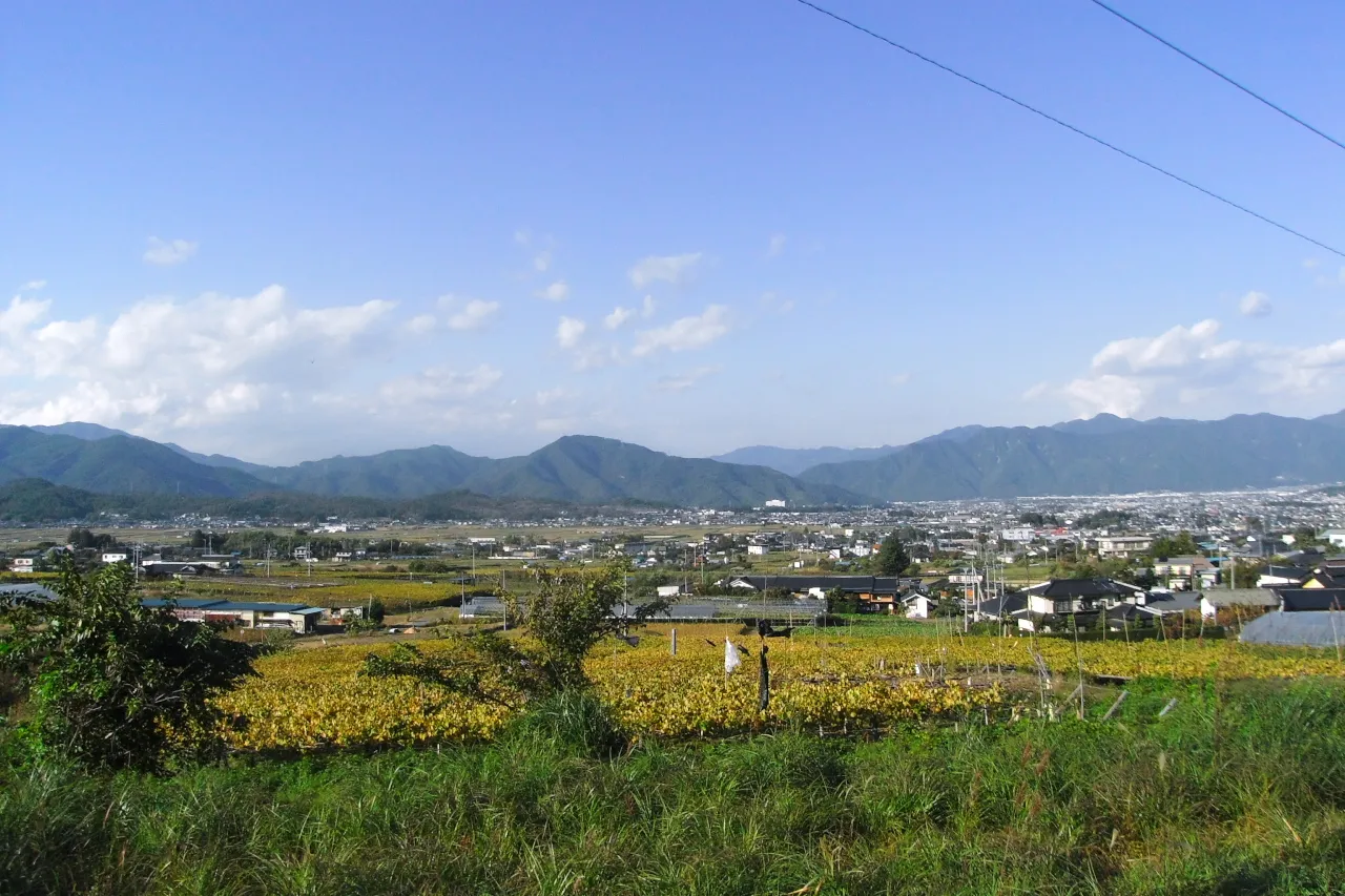 Ueda City, Ueda Shi20 km SW
-
 Naganohara Machi Municipality, Agatsuma-gun19 km E
-
 Obuse Town, Obuse Machi19 km NW
Nearby attractions & nature
Everything nearby-
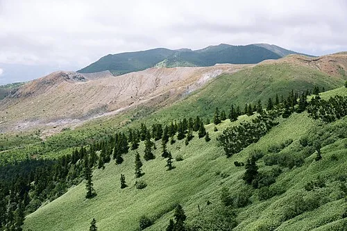 Mount Kusatsu-Shirane Mountain, Gunma15 km NE
-
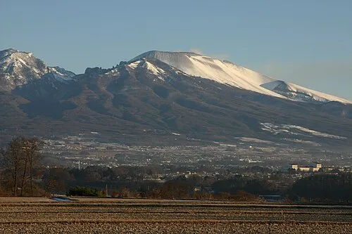 Mount Asama Mountain, Karuizawa Machi18 km SE
-
Takama Yama Mountain, Naganohara Machi24 km E
Sources & licences
Data last updated: · 2 independent sources