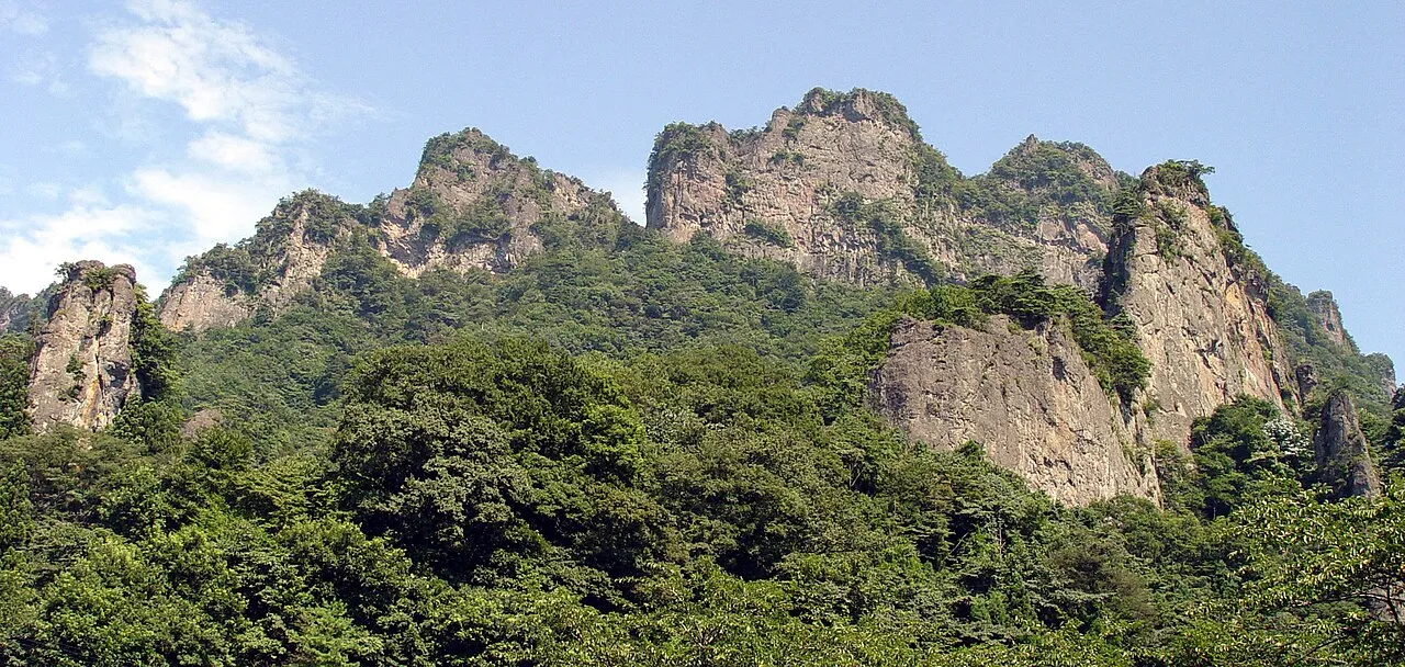
- Elevation
- 1,103 m
- above sea level
- Local time
- UTC+09:00
- Asia/Tokyo · UTC+09:00
- Airports
- MMJ Shinshu-Matsumoto Airport75 km
- HND Tokyo Haneda International Airport125 km
About Mount Myōgi
Mount Myōgi is a mountain. Location: Gunma, Japan. Elevation: 1,103 m.
Mount Myōgi (妙義山, Myōgi-san) is one of the major mountains in Gunma Prefecture, Japan. Its straddles the border between the municipalities of Annaka, Shimonita and Tomioka. Known for its steep, rocky formations, Mount Myōgi is considered one of Japan's three most noted rugged, scenic locations. The area includes many hiking routes, and the scene attracts visitors during the autumn foliage season. The highest point is the peak of the Mt. Sōmadake (相馬岳) reaching 1,104 metres (3,622 ft).
Read more on Wikipedia Text: Wikipedia contributors · CC BY-SA 4.0 · shortened
At a glance
- Heritage designation
- Place of Scenic Beauty
Source: Wikidata
Climate of Mount Myōgi
Best months for sightseeingBest months for sightseeing: July–September.
Bars: average monthly low and high temperature. Below: precipitation. Monthly averages for 1970–2000 at about 18 km resolution, adjusted for elevation. Highlighted months are mild and relatively dry. Source: WorldClim 2.1 (CC BY 4.0).
Show values as a table
| Month | Jan | Feb | Mar | Apr | May | Jun | Jul | Aug | Sep | Oct | Nov | Dec |
|---|---|---|---|---|---|---|---|---|---|---|---|---|
| Average high (°C) | 2° | 2° | 6° | 12° | 17° | 19° | 23° | 25° | 20° | 14° | 9° | 5° |
| Average low (°C) | -8° | -8° | -5° | 1° | 6° | 11° | 15° | 16° | 12° | 5° | -1° | -6° |
| Precipitation (mm) | 42 | 54 | 67 | 80 | 97 | 160 | 155 | 160 | 177 | 114 | 55 | 34 |
Airports nearest to Mount Myōgi
- Shinshu-Matsumoto Airport (MMJ) Matsumoto 75 km
- Tokyo Haneda International Airport (HND) Tokyo 125 km
- Toyama Kitokito Airport (TOY) Toyama 145 km
Straight-line distance; airports with scheduled flights only. Source: OurAirports (public domain).
Nearest towns and villages
-
Shimonita Town, Kanra-gun8.7 km SE
-
Matsuidamachi-matsuida Village, Annaka Shi6.3 km NE
-
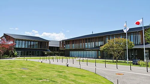 Tomioka City, Tomioka-shi14 km E
-
Karuizawa Town, Karuizawa Machi12 km NW
-
Karuizawa Machi Municipality, Kitasaku-gun16 km NW
-
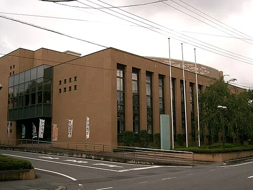 Annaka City, Annaka Shi14 km E
Nearby attractions & nature
Everything nearby-
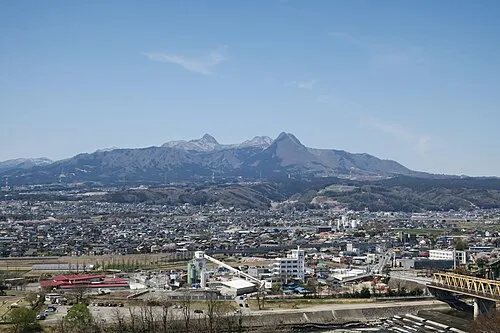 Mount Haruna Mountain, Gunma23 km NE
-
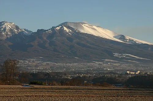 Mount Asama Mountain, Karuizawa Machi24 km NW
-
 Lake Haruna Lake, Gunma23 km NE
More nature in Japan
-
Takama Yama Mountain, Naganohara Machi32 km N
-
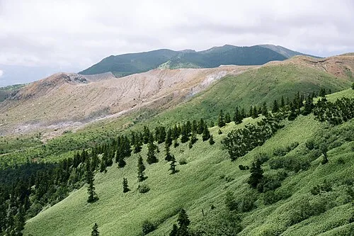 Mount Kusatsu-Shirane Mountain, Gunma44 km NW
-
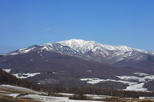 Azumaya San Mountain, Tsumagoi Mura41 km NW
-
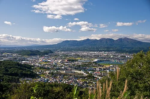 Mount Akagi Mountain, Gunma49 km NE
-
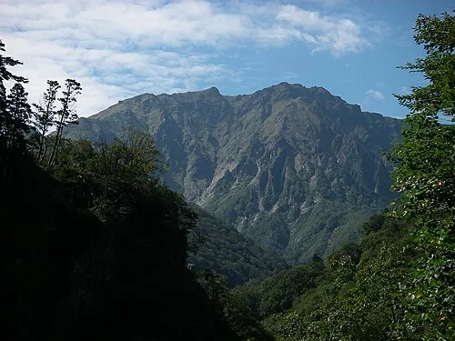 Tanigawa Dake Mountain, Minakami Machi63 km N
-
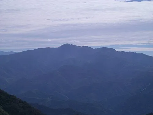 Mount Hotaka Mountain, Minakami Machi67 km NE
Sources & licences
Data last updated: · 2 independent sources