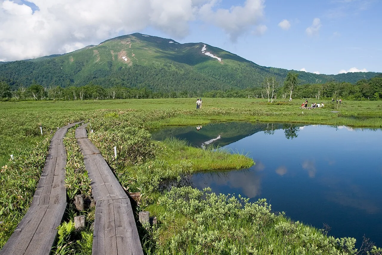
- Elevation
- 2,228 m
- above sea level
- Local time
- UTC+09:00
- Asia/Tokyo · UTC+09:00
- Airports
- KIJ Niigata Airport117 km
- FKS Fukushima Airport117 km
About Mount Shibutsu
Mount Shibutsu is a mountain. Location: Minakami Machi, Tone-gun. Elevation: 2,228 m.
Mount Shibutsu (至仏山 Shifutsu/Shibutsu-san) is a serpentine mountain in the north-east of Gunma Prefecture in Japan. It is 2,228.1 m (7,310 ft) tall and located between Minakami Machi and Katashina Villages. It's one of the 100 Famous Japanese Mountains and is home to a "treasure trove" of alpine plants. It is part of Oze National Park and the Minakami UNESCO Eco Park.
Source: Wikipedia · CC BY-SA 4.0
Photos of Mount Shibutsu
-

Σ64 · CC BY 4.0 -

Σ64 · CC BY 3.0 -

Σ64 · CC BY 4.0


Climate of Mount Shibutsu
This month · November
A wet month
Day 2° · Night -7° · Rain 106 mm
Better nearby cities in November
- Kofu · 148 km south17°
- Isehara · 168 km south18°
- Odawara · 183 km south19°
- Hottest month
- August (day 18°)
- Coldest month
- January (night -16°)
- Wettest month
- August (328 mm)
- Driest month
- December (66 mm)
Bars: average monthly low and high temperature. Below: precipitation. Monthly averages for 1970–2000 at about 18 km resolution, adjusted for elevation. Highlighted months are mild and relatively dry. Source: WorldClim 2.1 (CC BY 4.0).
Show values as a table
| Month | Jan | Feb | Mar | Apr | May | Jun | Jul | Aug | Sep | Oct | Nov | Dec |
|---|---|---|---|---|---|---|---|---|---|---|---|---|
| Average high (°C) | -8° | -7° | -4° | 3° | 9° | 13° | 16° | 18° | 14° | 8° | 2° | -4° |
| Average low (°C) | -16° | -16° | -13° | -6° | -2° | 4° | 9° | 10° | 6° | -1° | -7° | -12° |
| Precipitation (mm) | 71 | 79 | 99 | 141 | 155 | 220 | 246 | 328 | 287 | 166 | 106 | 66 |
How to get to Mount Shibutsu
The nearest airport is Niigata Airport (KIJ), 117 km to the north as the crow flies. The nearest large city is Maebashi, 56 km to the south.
Airports
- Niigata Airport (KIJ) Niigata 117 kmnorth
- Fukushima Airport (FKS) Sukagawa 117 kmeast
- Ibaraki Airport (IBR) Omitama 137 kmsoutheast
Nearby large cities
- Maebashi Population: 332.1K 56 kmsouth
- Kiryū Population: 109K 58 kmsouth
- Takasaki Population: 373K 65 kmsouth
- Isesaki Population: 211.8K 65 kmsouth
- Nagaoka Population: 266.9K 67 kmnorthwest
Straight-line distances; road distances are longer. Airport data: OurAirports.
Day trips from Mount Shibutsu
Within 100 km: 3 historic and cultural sites, 23 natural sites, 10 lakes, rivers and coasts.
0–25 km5 places
- Tanigawa Dake Mountain 23 kmW
- Hiuchiga Take Mountain 12 kmNE
- Mount Nikkō-Shirane Mountain 21 kmSE
- Mount Hotaka Mountain 12 kmS
25–60 km13 places
- Umeda Ko Lake 52 kmSE
- Uono River River 50 kmNW
- Mount Hiragatake Mountain 57 kmE
- Mount Echigo-Komagatake Mountain 26 kmN
60–100 km18 places
- Lake Nojiri Lake 85 kmW
- Mount Myōkō Mountain 94 kmW
- Mount Kurohime Mountain 93 kmW
- Tadami River River 96 kmNE
Straight-line distances.
Nearest towns and villages
-
Katashina Village, Tone-gun11 km SE
-
Kawaba Mura Municipality, Tone-gun20 km S
-
Hinoemata Mura Municipality, Minamiaizu-gun20 km NE
-
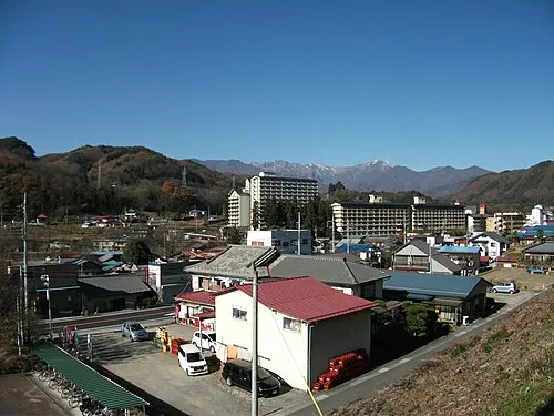 Minakami Town, Minakami Machi29 km SW
-
 Numata City, Numata Shi32 km S
-
Muikamachi Town, Minamiuonuma32 km NW
Nearby attractions & nature
Everything nearby-
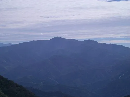 Mount Hotaka Mountain, Minakami Machi12 km S
-
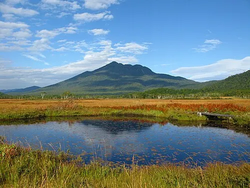 Hiuchiga Take Mountain, Fukushima12 km NE
-
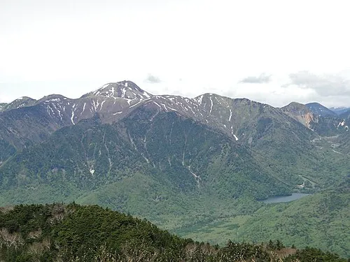 Mount Nikkō-Shirane Mountain, Tone-gun21 km SE
-
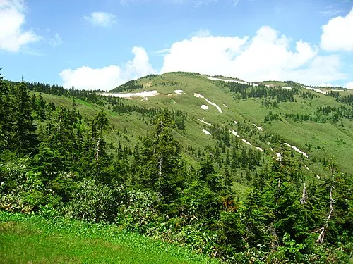 Mount Aizu-Komagatake Mountain, Hinoemata Mura23 km NE
-
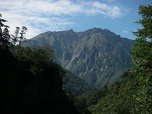 Tanigawa Dake Mountain, Minakami Machi23 km W
Sources & licences
Data last updated: · 2 independent sources