- Population
- 18,383
- 18.4K
- Elevation
- 391 m
- above sea level
- Local time
- UTC+09:00
- Asia/Tokyo · UTC+09:00
- Airports
- MMJ Shinshu-Matsumoto Airport112 km
- IBR Ibaraki Airport140 km
About Minakami
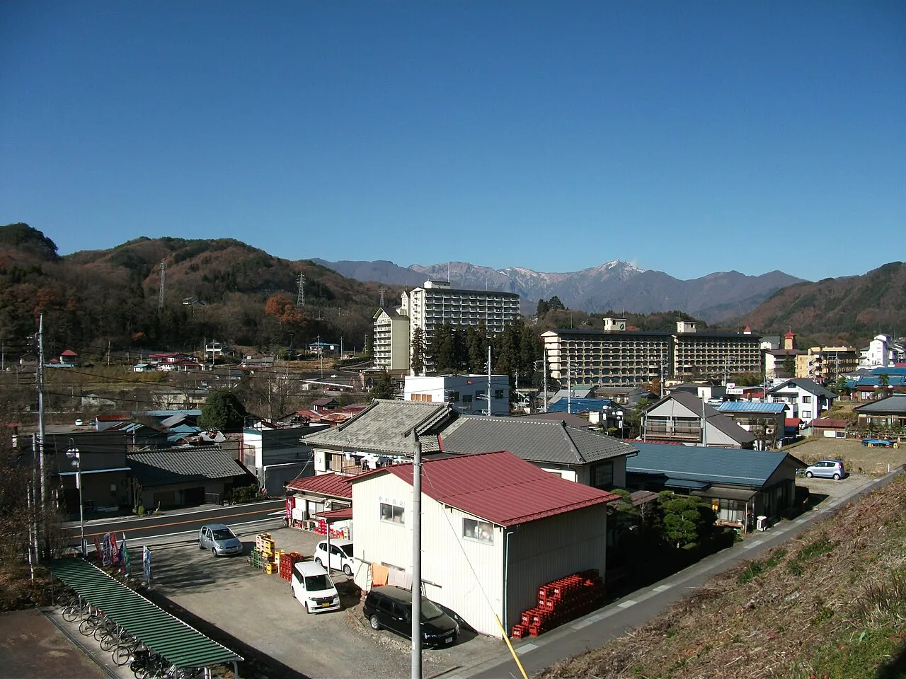
Minakami is a town. Location: Minakami Machi, Tone-gun. Population: 18,383. Elevation: 391 m.
Tsukiyono (月夜野町, Tsukiyono-machi) was a town located in Tone District, Gunma Prefecture, Japan. On October 1, 2005, Tsukiyono, along with the village of Niiharu (also from Tone District), was merged into the expanded town of Minakami.
Source: Wikipedia · CC BY-SA 4.0
At a glance
- Built
- 1955
Source: Wikidata
Climate of Minakami
Best months for sightseeingBest months for sightseeing: May–June, September–October.
This month · November
Outside the best season
Day 14° · Night 4° · Rain 87 mm
Better nearby cities in November
- Kofu · 120 km south17°
- Isehara · 146 km south18°
- Odawara · 160 km south19°
- Hottest month
- August (day 29°)
- Coldest month
- January (night -4°)
- Wettest month
- August (219 mm)
- Driest month
- December (82 mm)
Bars: average monthly low and high temperature. Below: precipitation. Monthly averages for 1970–2000 at about 18 km resolution, adjusted for elevation. Highlighted months are mild and relatively dry. Source: WorldClim 2.1 (CC BY 4.0).
Show values as a table
| Month | Jan | Feb | Mar | Apr | May | Jun | Jul | Aug | Sep | Oct | Nov | Dec |
|---|---|---|---|---|---|---|---|---|---|---|---|---|
| Average high (°C) | 5° | 5° | 8° | 16° | 21° | 24° | 28° | 29° | 24° | 19° | 14° | 8° |
| Average low (°C) | -4° | -4° | -1° | 5° | 10° | 15° | 20° | 21° | 17° | 10° | 4° | -1° |
| Precipitation (mm) | 105 | 97 | 91 | 105 | 120 | 183 | 212 | 219 | 218 | 139 | 87 | 82 |
Other places to visit in this season: May June September October
How to get to Minakami
The nearest airport is Shinshu-Matsumoto Airport (MMJ), 112 km to the southwest as the crow flies. For international flights: Ibaraki Airport (IBR) (140 km). The nearest large city is Maebashi, 33 km to the south.
Airports
- Shinshu-Matsumoto Airport (MMJ) Matsumoto 112 kmsouthwest
- Ibaraki Airport (IBR) Omitama 140 kmsoutheast
- Niigata Airport (KIJ) Niigata 141 kmnorth
Nearby large cities
- Maebashi Population: 332.1K 33 kmsouth
- Takasaki Population: 373K 39 kmsouth
- Kiryū Population: 109K 45 kmsoutheast
- Isesaki Population: 211.8K 45 kmsoutheast
- Ōta Population: 224.4K 55 kmsoutheast
Straight-line distances; road distances are longer. Airport data: OurAirports.
Day trips from Minakami
Within 100 km: 2 historic and cultural sites, 44 natural sites, 10 lakes, rivers and coasts.
0–25 km4 places
- Tanigawa Dake Mountain 17 kmN
- Mount Akagi Mountain 23 kmSE
- Agatsuma River River 21 kmS
- Mount Hotaka Mountain 18 kmNE
25–60 km18 places
- Umeda Ko Lake 45 kmSE
- Lake Haruna Lake 26 kmSW
- Lake Chūzenji Lake 43 kmE
- Mount Nikkō-Shirane Mountain 37 kmE
60–100 km34 places
- Mount Azumaya Mountain 89 kmW
- Hijiri Yama Mountain 89 kmW
- Arakawa River River 86 kmNW
- Takada castle Historic site 80 kmNW
Straight-line distances.
Nearby attractions & nature
Everything nearby-
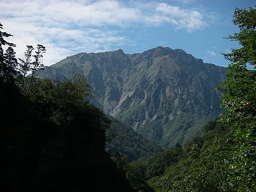 Tanigawa Dake Mountain, Minakami Machi17 km N
-
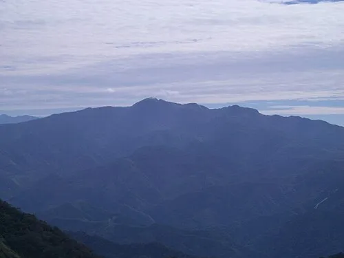 Mount Hotaka Mountain, Minakami Machi18 km NE
-
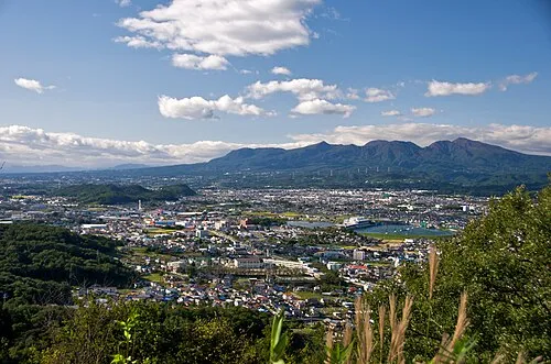 Mount Akagi Mountain, Gunma23 km SE
-
Agatsuma River River, Gunma21 km S
Sources & licences
Data last updated: · 2 independent sources