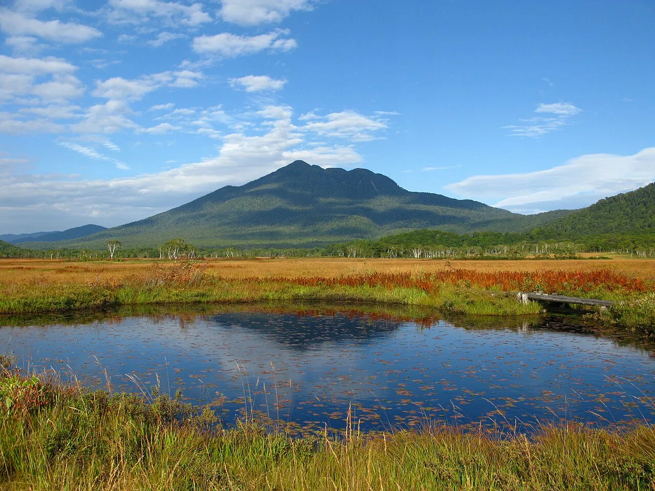
- Elevation
- 2,356 m
- above sea level
- Local time
- UTC+09:00
- Asia/Tokyo · UTC+09:00
- Airports
- FKS Fukushima Airport106 km
- KIJ Niigata Airport111 km
About Hiuchiga Take
Hiuchiga Take is a mountain. Location: Fukushima, Japan. Elevation: 2,356 m.
Mount Hiuchi, also Hiuchigatake (Japanese: 燧ヶ岳) is a 2,356 m-tall (7,730 ft) stratovolcano in Oze National Park, and located in Hinoemata Village, Minami-Aizu gun, Fukushima Prefecture, Japan. This is the highest mountain in Tōhoku region. The volcano rises in the north of Lake Ozenuma. It is one of the 100 Famous Japanese Mountains.
Source: Wikipedia · CC BY-SA 4.0
Climate of Hiuchiga Take
This month · November
A wet month
Day 1° · Night -8° · Rain 106 mm
Better nearby cities in November
- Kofu · 158 km southwest17°
- Isehara · 174 km south18°
- Odawara · 190 km south19°
- Hottest month
- August (day 17°)
- Coldest month
- January (night -17°)
- Wettest month
- August (328 mm)
- Driest month
- December (66 mm)
Bars: average monthly low and high temperature. Below: precipitation. Monthly averages for 1970–2000 at about 18 km resolution, adjusted for elevation. Highlighted months are mild and relatively dry. Source: WorldClim 2.1 (CC BY 4.0).
Show values as a table
| Month | Jan | Feb | Mar | Apr | May | Jun | Jul | Aug | Sep | Oct | Nov | Dec |
|---|---|---|---|---|---|---|---|---|---|---|---|---|
| Average high (°C) | -8° | -8° | -5° | 2° | 8° | 12° | 16° | 17° | 13° | 7° | 1° | -5° |
| Average low (°C) | -17° | -17° | -14° | -7° | -2° | 3° | 8° | 9° | 5° | -2° | -8° | -13° |
| Precipitation (mm) | 71 | 79 | 99 | 141 | 155 | 220 | 246 | 328 | 287 | 166 | 106 | 66 |
How to get to Hiuchiga Take
The nearest airport is Fukushima Airport (FKS), 106 km to the east as the crow flies. For international flights: Niigata Airport (KIJ) (111 km). The nearest large city is Kiryū, 62 km to the south.
Airports
- Fukushima Airport (FKS) Sukagawa 106 kmeast
- Niigata Airport (KIJ) Niigata 111 kmnorth
- Ibaraki Airport (IBR) Omitama 133 kmsoutheast
Nearby large cities
- Kiryū Population: 109K 62 kmsouth
- Maebashi Population: 332.1K 65 kmsouth
- Nagaoka Population: 266.9K 67 kmnorthwest
- Utsunomiya Population: 518.8K 69 kmsoutheast
- Ashikaga Population: 144.7K 71 kmsouth
Straight-line distances; road distances are longer. Airport data: OurAirports.
Nearest towns and villages
-
Hinoemata Mura Municipality, Minamiaizu-gun8.8 km NE
-
Hinoemata Village, Hinoemata Mura11 km NE
-
Katashina Village, Tone-gun14 km S
-
Minakami Machi Municipality, Tone-gun29 km SW
-
Kawaba Mura Municipality, Tone-gun29 km SW
-
 Numata City, Numata Shi42 km SW
Nearby attractions & nature
Everything nearby-
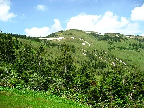 Mount Aizu-Komagatake Mountain, Hinoemata Mura11 km NE
-
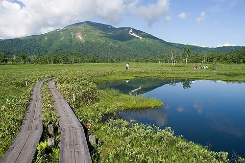 Mount Shibutsu Mountain, Minakami Machi12 km SW
-
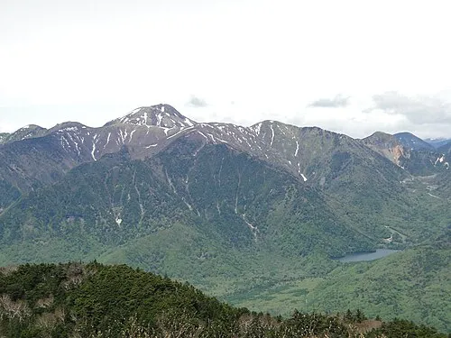 Mount Nikkō-Shirane Mountain, Tone-gun20 km SE
-
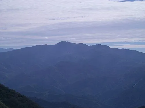 Mount Hotaka Mountain, Minakami Machi22 km SW
More nature in Japan
-
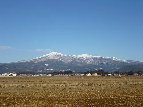 Mount Adatara Mountain, Nihonmatsu Shi115 km NE
-
 Mount Azuma-kofuji Mountain, Fukushima Shi121 km NE
-
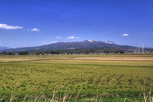 Nekomaga Dake Mountain, Bandai Machi98 km NE
-
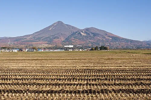 Mount Bandai Mountain, Bandai Machi99 km NE
-
Iimori Yama Mountain, Kitakata-shi110 km NE
-
Iide San Mountain, Kitakata-shi106 km N
Sources & licences
Data last updated: · 2 independent sources