Mount Azuma-kofuji
Local name: 吾妻小富士
Located in Fukushima Shi, Fukushima Coordinates: 37°43′19″ N 140°16′01″ E

- Elevation
- 1,705 m
- above sea level
- Local time
- UTC+09:00
- Asia/Tokyo · UTC+09:00
- Airports
- FKS Fukushima Airport57 km
- SDJ Sendai Airport74 km
About Mount Azuma-kofuji
Mount Azuma-kofuji is a mountain. Location: Fukushima Shi, Fukushima. Elevation: 1,705 m.
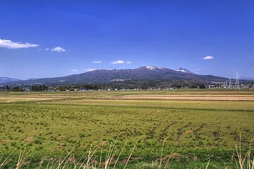
Mount Azuma-kofuji (吾妻小富士) is an active stratovolcano in Fukushima prefecture, Japan. It has a conical-shaped crater and as the name "Kofuji" (small Mount Fuji) suggests, Mount Azuma is similar in shape to Mount Fuji. Mount Azuma's symmetrical crater and the nearby fumarolic area with its many onsen have made it a popular tourist destination. The Bandai-Azuma Skyline passes just below the crater, allowing visitors to drive to within walking distance of the crater and other various hiking trails on the mountain.
Source: Wikipedia · CC BY-SA 4.0
Photos of Mount Azuma-kofuji
-

水村 亜里 from Fukushima, Jpan · CC BY-SA 2.0 -

Σ64 · CC BY 3.0 -

BehBeh · CC BY-SA 3.0 -

BehBeh · CC BY-SA 3.0 -

くろふね · CC BY 4.0


Climate of Mount Azuma-kofuji
Best months for sightseeingBest months for sightseeing: July–August.
This month · November
A cold month
Day 4° · Night -4° · Rain 92 mm
Better nearby cities in November
- Isehara · 272 km south18°
- Kofu · 274 km southwest17°
- Odawara · 292 km south19°
- Hottest month
- August (day 20°)
- Coldest month
- January (night -12°)
- Wettest month
- August (234 mm)
- Driest month
- January (67 mm)
Bars: average monthly low and high temperature. Below: precipitation. Monthly averages for 1970–2000 at about 18 km resolution, adjusted for elevation. Highlighted months are mild and relatively dry. Source: WorldClim 2.1 (CC BY 4.0).
Show values as a table
| Month | Jan | Feb | Mar | Apr | May | Jun | Jul | Aug | Sep | Oct | Nov | Dec |
|---|---|---|---|---|---|---|---|---|---|---|---|---|
| Average high (°C) | -5° | -5° | -2° | 6° | 11° | 15° | 18° | 20° | 15° | 10° | 4° | -2° |
| Average low (°C) | -12° | -12° | -10° | -4° | 1° | 6° | 11° | 12° | 8° | 1° | -4° | -9° |
| Precipitation (mm) | 67 | 69 | 87 | 113 | 119 | 168 | 196 | 234 | 212 | 134 | 92 | 67 |
How to get to Mount Azuma-kofuji
The nearest airport is Fukushima Airport (FKS), 57 km to the south as the crow flies. For international flights: Sendai Airport (SDJ) (74 km). The nearest large city is Fukushima, 18 km to the east.
Airports
- Fukushima Airport (FKS) Sukagawa 57 kmsouth
- Sendai Airport (SDJ) Natori 74 kmnortheast
- Yamagata Airport (GAJ) Higashine 77 kmnorth
Nearby large cities
- Fukushima Population: 294.2K 18 kmeast
- Kōriyama Population: 327.7K 37 kmsouth
- Aizu-Wakamatsu Population: 118.2K 38 kmsouthwest
- Yamagata Population: 248.8K 57 kmnorth
- Sendai Population: 1.1M 80 kmnortheast
Straight-line distances; road distances are longer. Airport data: OurAirports.
Day trips from Mount Azuma-kofuji
Within 100 km: 1 historic or cultural site, 17 natural sites, 6 lakes, rivers and coasts.
0–25 km5 places
- Nekomaga Dake Mountain 24 kmSW
- Takayu-onsen Natural site 5 kmNE
- Lake Hibara Lake 19 kmW
- Mount Adatara Mountain 11 kmS
25–60 km8 places
- Iimori Yama Mountain 32 kmW
- Iide San Mountain 51 kmW
- Echigo Sanmyaku Mountain 40 kmW
- Mount Zaō Mountain 49 kmN
60–100 km11 places
- Mount Funagata Mountain 87 kmN
- Abukuma River River 68 kmNE
- Mount Asahi Mountain 67 kmNW
- Asahi Dake Mountain 68 kmNW
Straight-line distances.
Nearest towns and villages
-
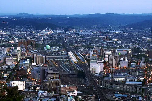 Fukushima City, Fukushima Shi18 km E
-
Inawashiro Machi Municipality, Yama-gun17 km SW
-
Ōtama Mura Municipality, Adachi-gun20 km S
-
 Inawashiro Town, Inawashiro Machi22 km SW
-
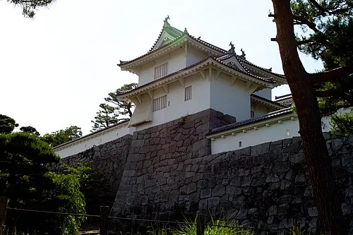 Nihommatsu City, Nihonmatsu Shi21 km SE
-
Iizakamachi Town, Fukushima Shi20 km NE
Nearby attractions & nature
Everything nearby-
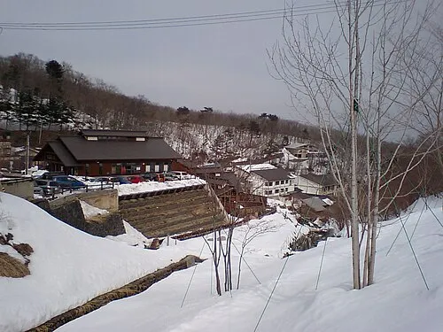 Takayu-onsen Natural site, Japan5 km NE
-
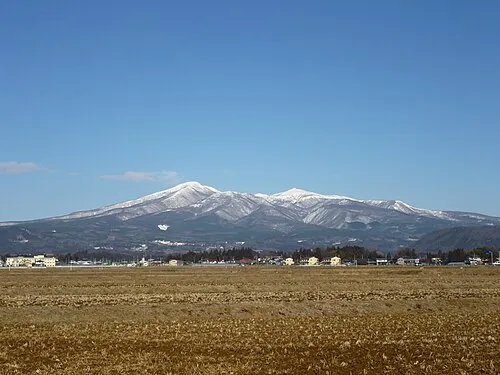 Mount Adatara Mountain, Nihonmatsu Shi11 km S
-
 Lake Hibara Lake, Fukushima19 km W
-
 Nekomaga Dake Mountain, Bandai Machi24 km SW
-
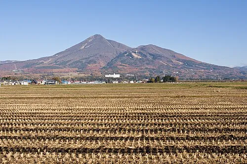 Mount Bandai Mountain, Bandai Machi22 km SW
Sources & licences
Data last updated: · 2 independent sources