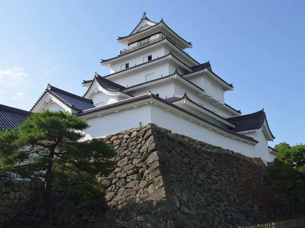
- Population
- 1,810,286
- 1.8M
- Elevation
- 490 m
- above sea level
- Local time
- UTC+09:00
- Asia/Tokyo · UTC+09:00
- Places inside
- 30
- listed under Fukushima
- Airports
- FKS Fukushima Airport25 km
- SDJ Sendai Airport104 km
About Fukushima
Fukushima is a region. Location: Japan. Population: 1,810,286.
Fukushima Prefecture (福島県, Fukushima-ken; Japanese pronunciation: [ɸɯ̥̈.kɯ̈́.ɕì.mä̀, -ɕí.mä́.kè̞ɴ̀]) is a prefecture of Japan located in the Tōhoku region of Honshu. Fukushima Prefecture has a population of 1,771,100 (as of 1 July 2023) and has a geographic area of 13,783.90 square kilometres (5,321.99 sq mi).
Read more on Wikipedia Text: Wikipedia contributors · CC BY-SA 4.0 · shortened
Places bordering Fukushima
Climate of Fukushima
Best months for sightseeingBest months for sightseeing: May–September.
Bars: average monthly low and high temperature. Below: precipitation. Monthly averages for 1970–2000 at about 18 km resolution, adjusted for elevation. Highlighted months are mild and relatively dry. Source: WorldClim 2.1 (CC BY 4.0).
Show values as a table
| Month | Jan | Feb | Mar | Apr | May | Jun | Jul | Aug | Sep | Oct | Nov | Dec |
|---|---|---|---|---|---|---|---|---|---|---|---|---|
| Average high (°C) | 3° | 3° | 6° | 14° | 19° | 21° | 25° | 27° | 22° | 17° | 11° | 6° |
| Average low (°C) | -5° | -5° | -2° | 3° | 9° | 13° | 17° | 19° | 15° | 8° | 2° | -2° |
| Precipitation (mm) | 52 | 53 | 70 | 90 | 98 | 142 | 161 | 171 | 174 | 118 | 68 | 55 |
Other places to visit in this season: May June July August September
Airports nearest to Fukushima
- Fukushima Airport (FKS) Sukagawa 25 km
- Sendai Airport (SDJ) Natori 104 km
- Yamagata Airport (GAJ) Higashine 115 km
Straight-line distance; airports with scheduled flights only. Source: OurAirports (public domain).
Places in Fukushima
30 places- 1 Iwaki-shi 335.5K
- 2 Kōriyama Shi 326.1K
- 3 Fukushima Shi 285.1K
- 4 Aizu-wakamatsu Shi 124.7K
- 5 Sukagawa Shi 78.5K
- 6 Minamisōma Shi 64.9K
- 7 Date-shi 64.3K
- 8 Shirakawa Shi 63.4K
- 9 Nihonmatsu Shi 58.3K
- 10 Kitakata-shi 51.4K
- 11 Tamura-shi 40.1K
- 12 Sōma Shi 36.2K
- 13 Motomiya-shi 31K
Bar: population relative to the most populous place in this list.
-
Adachi-gun District
-
Date-gun District
-
Futaba-gun District
-
Higashishirakawa-gun District
-
Hiuchiga Take Mountain
-
Ishikawa-gun District
-
Iwase-gun District
-
Kawanuma-gun District
-
Lake Hibara Lake
-
Lake Inawashiro Lake
-
Minamiaizu-gun District
-
Nishishirakawa-gun District
-
Ōnuma-gun District
-
Sōma-gun District
-
Tadami River River
-
Tamura-gun District
-
Yama-gun District
Largest cities and towns
-
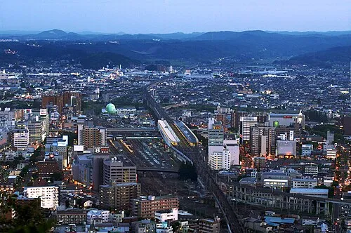 Fukushima City, Fukushima Shi294.2K
-
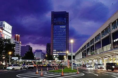 Kōriyama City, Kōriyama Shi327.7K
-
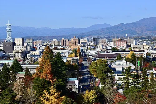 Aizu-Wakamatsu City, Aizu-wakamatsu Shi118.2K
-
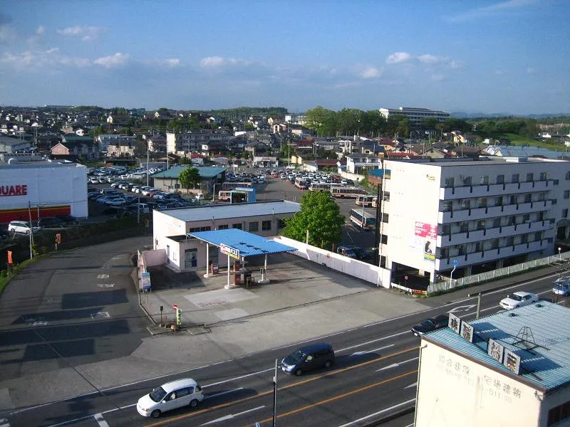 Sukagawa City, Sukagawa Shi75K
-
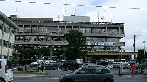 Minami-Sōma City, Minamisōma Shi59K
-
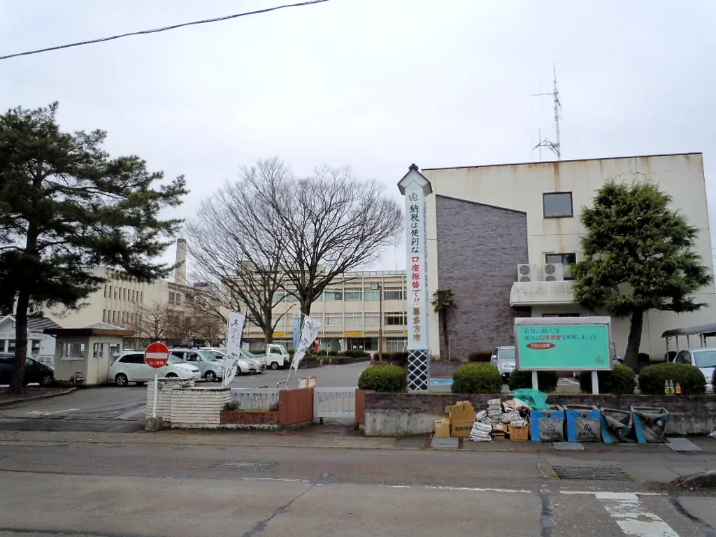 Kitakata City, Kitakata-shi46.3K
-
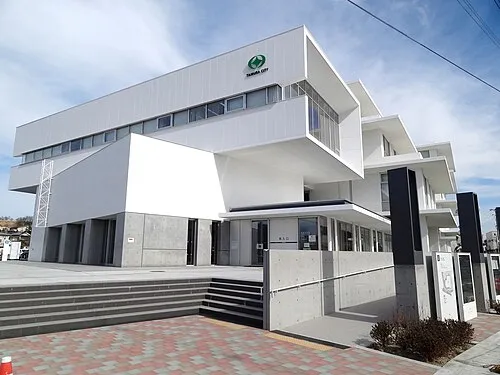 Tamura City, Tamura-shi35.2K
-
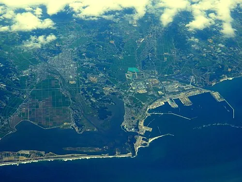 Sōma City, Sōma Shi34.9K
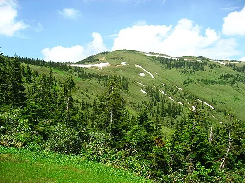
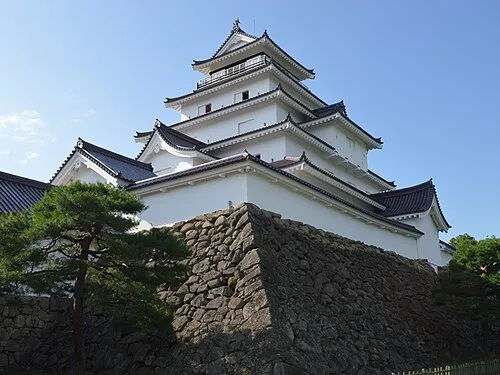
Nature and heritage in Fukushima

Sources & licences
Data last updated: · 2 independent sources