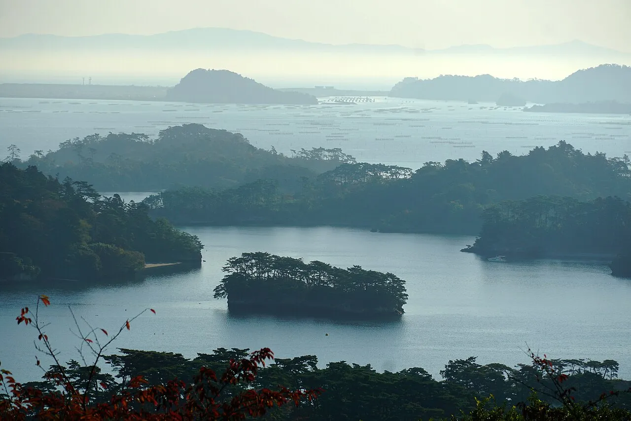
- Population
- 2,301,996
- 2.3M
- Elevation
- 56 m
- above sea level
- Local time
- UTC+09:00
- Asia/Tokyo · UTC+09:00
- Places inside
- 34
- listed under Miyagi
- Airports
- SDJ Sendai Airport34 km
- GAJ Yamagata Airport49 km
About Miyagi
Miyagi is a region. Location: Japan. Population: 2,301,996.
Miyagi Prefecture (宮城県, Miyagi-ken; Japanese pronunciation: [mʲí.jä̀.ɡ̟ʲì, -ŋ̟ʲì, mʲì.jä́.ɡ̟ʲí.kè̞ɴ̀, -ŋ̟ʲí-]) is a prefecture of Japan located in the Tōhoku region of Honshu. Miyagi Prefecture has a population of 2,265,724 (1 August 2023) and has a geographic area of 7,282 km2 (2,812 sq mi). Miyagi Prefecture borders Iwate Prefecture to the north, Akita Prefecture to the northwest, Yamagata Prefecture to the west, and Fukushima Prefecture to the south.
Read more on Wikipedia Text: Wikipedia contributors · CC BY-SA 4.0 · shortened
Places bordering Miyagi
- Fukushima
- Yamagata
- Akita
- Iwate
Twin towns and sister cities of Miyagi
- Delaware· United States
Source: Wikidata. Only places with a page on this site are shown.
Climate of Miyagi
Best months for sightseeingBest months for sightseeing: May–July, September–October.
Bars: average monthly low and high temperature. Below: precipitation. Monthly averages for 1970–2000 at about 18 km resolution, adjusted for elevation. Highlighted months are mild and relatively dry. Source: WorldClim 2.1 (CC BY 4.0).
Show values as a table
| Month | Jan | Feb | Mar | Apr | May | Jun | Jul | Aug | Sep | Oct | Nov | Dec |
|---|---|---|---|---|---|---|---|---|---|---|---|---|
| Average high (°C) | 4° | 4° | 8° | 14° | 19° | 21° | 25° | 27° | 23° | 18° | 12° | 7° |
| Average low (°C) | -3° | -3° | 0° | 5° | 10° | 15° | 19° | 21° | 17° | 10° | 4° | -1° |
| Precipitation (mm) | 47 | 54 | 68 | 92 | 96 | 131 | 156 | 147 | 179 | 111 | 69 | 47 |
Other places to visit in this season: May June July September October
Airports nearest to Miyagi
- Sendai Airport (SDJ) Natori 34 km
- Yamagata Airport (GAJ) Higashine 49 km
- Shonai Airport (SYO) Shonai 107 km
Straight-line distance; airports with scheduled flights only. Source: OurAirports (public domain).
Places in Miyagi
34 places- 1 Ishinomaki Shi 151K
- 2 Ōsaki Shi 135.6K
- 3 Tome Shi 84.5K
- 4 Natori Shi 74.7K
- 5 Kurihara Shi 73.9K
- 6 Kesennuma Shi 68.5K
- 7 Tagajō Shi 62.2K
- 8 Shiogama Shi 56.3K
- 9 Tomiya-shi 52.4K
- 10 Watari-gun 46.2K
- 11 Iwanuma-shi 43.8K
- 12 Higashimatsushima Shi 40.2K
- 13 Shiroishi Shi 36.6K
- 14 Kakuda Shi 31.1K
- 15 Miyago Jima 1K
- 16 Tashiro Jima 100
Bar: population relative to the most populous place in this list.
-
Aji Island Island
-
Igu-gun District
-
Kami-gun District
-
Katta-gun District
-
Kinkasan Island
-
Kurokawa-gun District
-
Matsu Shima Island
-
Matsushima Guntō Island
-
Miyagi Gun District
-
Motoyoshi Gun District
-
Naruse River River
-
Natori Gawa River
-
Oshika Gun District
-
Oshika Peninsula Natural site
-
Sendai Shi District
-
Shibata-gun District
-
Tōda Gun District
-
Tsuki Shima Island
Largest cities and towns
-
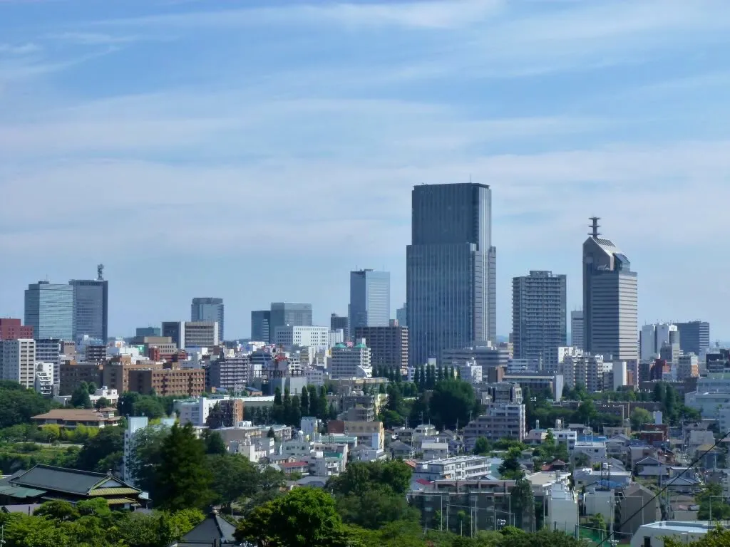 Sendai City, Sendai Shi1.1M
-
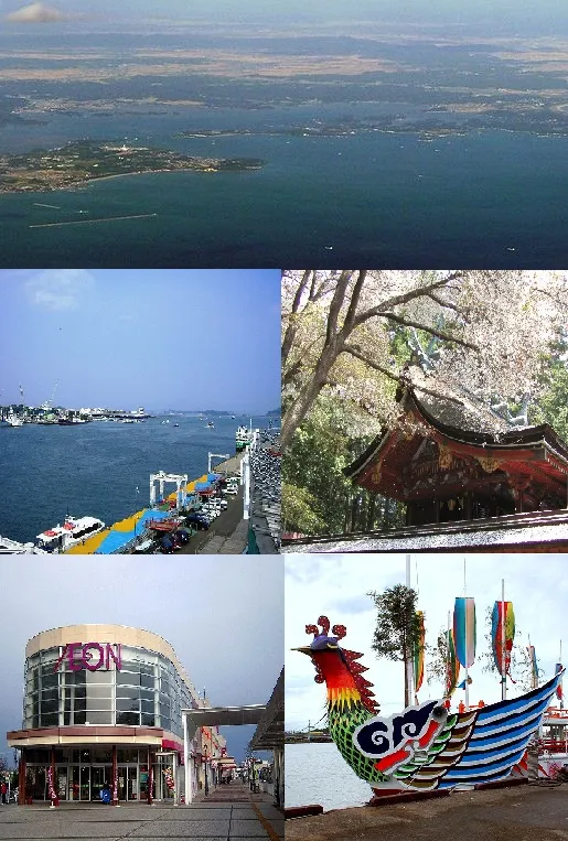 Shiogama City, Shiogama Shi52.7K
-
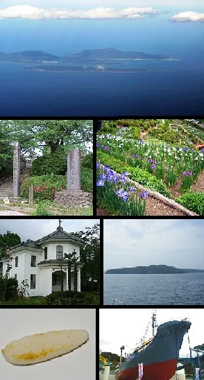 Ishinomaki City, Ishinomaki Shi140.2K
-
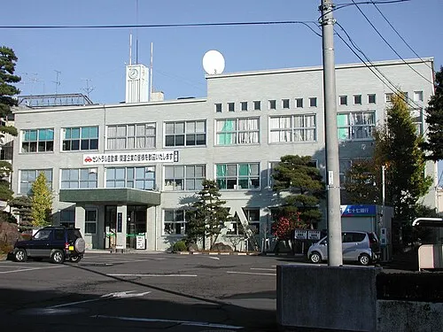 Ōsaki City, Ōsaki Shi128.8K
-
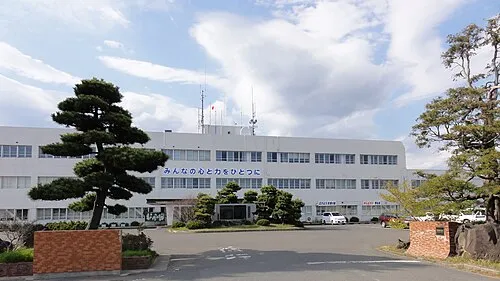 Higashimatsushima City, Higashimatsushima Shi39.1K
-
Matsushima Machi Municipality, Miyagi Gun15.1K
-
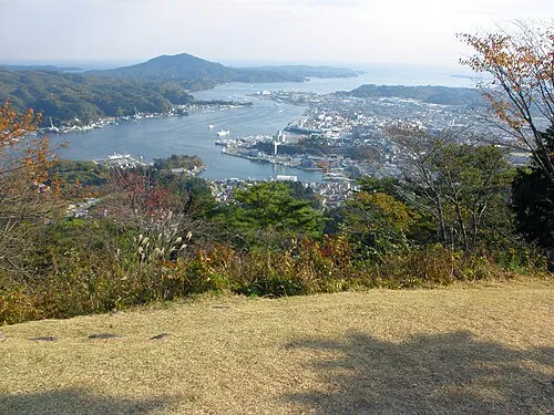 Kesennuma City, Kesennuma Shi61.1K
-
Miyagino Municipality, Sendai Shi196.7K
Nature and heritage in Miyagi
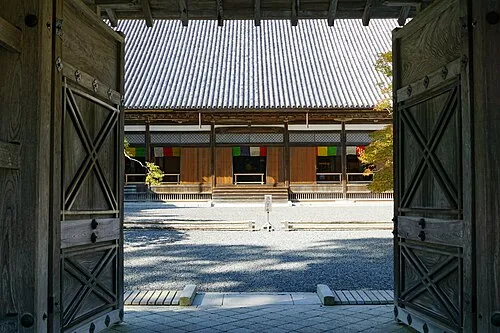

Other regions in Japan
-
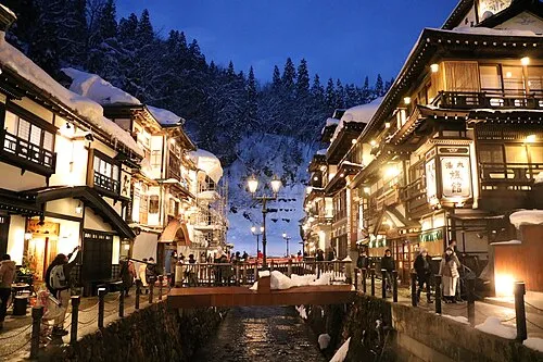 Yamagata Region, Japan72 km W
-
Yamagata Shi District, Yamagata53 km SW
-
Kaminoyama-shi District, Yamagata63 km SW
-
Sagae-shi District, Yamagata60 km W
Sources & licences
Data last updated: · 2 independent sources