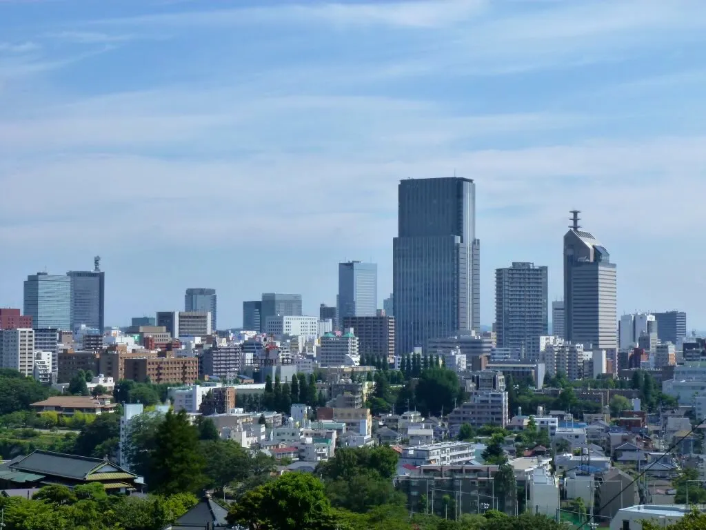
- Population
- 1,096,704
- 1.1M
- Elevation
- 53 m
- above sea level
- Local time
- UTC+09:00
- Asia/Tokyo · UTC+09:00
- Airports
- SDJ Sendai Airport15 km
- GAJ Yamagata Airport46 km
About Sendai
Sendai is a city. Location: Sendai Shi, Miyagi. Population: 1,096,704. Elevation: 53 m.
Sendai (仙台市, Sendai-shi; [sé̞ǹ.dä̀ì, sè̞ń.dä́ì.ɕì, sé̞ń.dä́ì-] ) is the capital city of Miyagi Prefecture and the largest city in the Tōhoku region. As of 1 August 2023, the city had a population of 1,098,335 in 539,698 households, making it the twelfth most populated city in Japan. The modern city was founded in 1600 by the daimyō Date Masamune.
Read more on Wikipedia Text: Wikipedia contributors · CC BY-SA 4.0 · shortened
Places bordering Sendai
- Natori-shi
- Tagajō-shi
- Tomiya
- Shichigahama Machi
- Rifu
- Taiwa Chō
- Murata Machi
- Kawasaki
- Shikama-cho
- Yamagata Shi
- Obanazawa
Twin towns and sister cities of Sendai
- Riverside· United States
- Dallas· United States
- Tokushima Shi· Japan
- Acapulco de Juárez· Mexico
- Takedamachi· Japan
- Nakano· Japan
- Uwajima· Japan
- Shiraoi· Japan
Source: Wikidata. Only places with a page on this site are shown.
Population of Sendai over time
| 2010 | 1,045,986 | |
|---|---|---|
| 2015 | 1,082,159 | |
| 2020 | 1,061,177 |
Censuses and official estimates; source: Wikidata.
Climate of Sendai
Best months for sightseeingBest months for sightseeing: May–July, September–October.
Bars: average monthly low and high temperature. Below: precipitation. Monthly averages for 1970–2000 at about 18 km resolution, adjusted for elevation. Highlighted months are mild and relatively dry. Source: WorldClim 2.1 (CC BY 4.0).
Show values as a table
| Month | Jan | Feb | Mar | Apr | May | Jun | Jul | Aug | Sep | Oct | Nov | Dec |
|---|---|---|---|---|---|---|---|---|---|---|---|---|
| Average high (°C) | 5° | 5° | 9° | 15° | 19° | 22° | 25° | 27° | 24° | 19° | 13° | 8° |
| Average low (°C) | -2° | -2° | 1° | 6° | 11° | 15° | 19° | 21° | 17° | 11° | 5° | 0° |
| Precipitation (mm) | 39 | 50 | 69 | 93 | 101 | 134 | 154 | 159 | 191 | 111 | 69 | 36 |
Other places to visit in this season: May June July September October
Airports nearest to Sendai
- Sendai Airport (SDJ) Natori 15 km
- Yamagata Airport (GAJ) Higashine 46 km
- Shonai Airport (SYO) Shonai 112 km
Straight-line distance; airports with scheduled flights only. Source: OurAirports (public domain).
Nearby attractions & nature
Everything nearby-
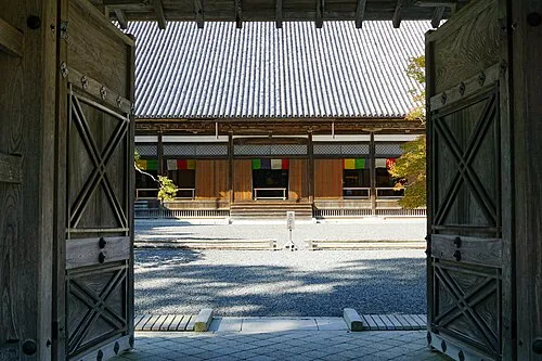 Zuigan Ji Attraction, Matsushima Machi21 km NE
-
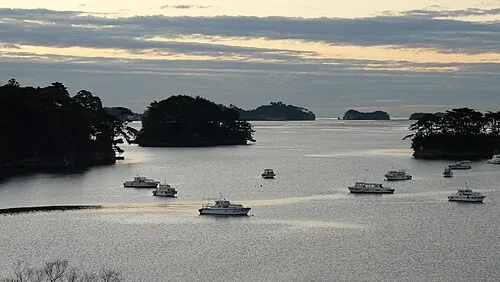 Matsushima Guntō Island, Miyagi21 km NE
-
Natori Gawa River, Miyagi13 km SE
-
Tsuki Shima Island, Miyagi25 km NE
-
Abukuma River River, Japan25 km S
Sources & licences
Data last updated: · 2 independent sources