- Elevation
- 0 m
- above sea level
- Local time
- UTC+09:00
- Asia/Tokyo · UTC+09:00
- Airports
- SDJ Sendai Airport10 km
- GAJ Yamagata Airport63 km
About Abukuma River
Abukuma River is a river. Location: Japan.
The Abukuma River (阿武隈川, Abukuma-gawa), with a length of 234 km (145 mi), is the second longest river in the Tōhoku region of Japan and the 6th longest river in the country. It is designated as a Class A river. It runs through Fukushima Prefecture and Miyagi Prefecture, rising from springs in the peaks of the Nasu mountains, collecting water from tributaries leaving the Ōu Mountains and the Abukuma Highlands, then emptying into the Pacific Ocean as a major river.
Read more on Wikipedia Text: Wikipedia contributors · CC BY-SA 4.0 · shortened
At a glance
- Length
- 239 km
Source: Wikidata
Climate of Abukuma River
Best months for sightseeingBest months for sightseeing: May–July, September–October.
Bars: average monthly low and high temperature. Below: precipitation. Monthly averages for 1970–2000 at about 18 km resolution, adjusted for elevation. Highlighted months are mild and relatively dry. Source: WorldClim 2.1 (CC BY 4.0).
Show values as a table
| Month | Jan | Feb | Mar | Apr | May | Jun | Jul | Aug | Sep | Oct | Nov | Dec |
|---|---|---|---|---|---|---|---|---|---|---|---|---|
| Average high (°C) | 6° | 6° | 9° | 15° | 20° | 22° | 25° | 28° | 24° | 20° | 14° | 9° |
| Average low (°C) | -2° | -1° | 2° | 7° | 12° | 16° | 20° | 22° | 18° | 12° | 6° | 1° |
| Precipitation (mm) | 37 | 49 | 69 | 93 | 99 | 134 | 150 | 157 | 187 | 119 | 68 | 39 |
Other places to visit in this season: May June July September October
Airports nearest to Abukuma River
- Sendai Airport (SDJ) Natori 10 km
- Yamagata Airport (GAJ) Higashine 63 km
- Fukushima Airport (FKS) Sukagawa 101 km
Straight-line distance; airports with scheduled flights only. Source: OurAirports (public domain).
Nearest towns and villages
-
Watari Chō Municipality, Watari-gun4.3 km W
-
Watari Town, Watari Chō6.4 km W
-
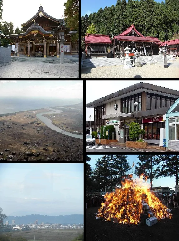 Iwanuma City, Iwanuma-shi8.3 km NW
-
Shibata Machi Municipality, Shibata-gun12 km W
-
Yamamoto Chō Municipality, Watari-gun12 km S
-
Iwanuma-machi Village, Japan7.5 km NW
More lakes, rivers and coasts in Japan
-
 Miyago Jima Island, Miyagi38 km NE
-
Natori Gawa River, Miyagi14 km N
-
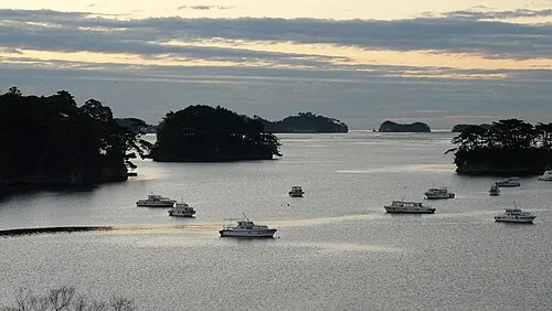 Matsushima Guntō Island, Miyagi37 km N
-
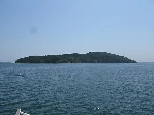 Tashiro Jima Island, Miyagi51 km NE
-
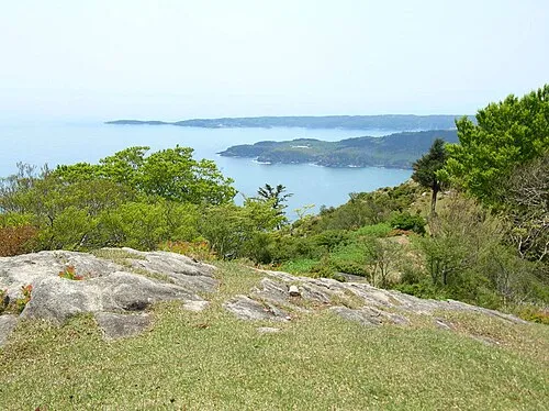 Aji Island Island, Miyagi55 km NE
-
Tsuki Shima Island, Miyagi40 km NE
Sources & licences
Data last updated: · 2 independent sources