- Local time
- UTC+09:00
- Asia/Tokyo · UTC+09:00
- Airports
- SDJ Sendai Airport31 km
- GAJ Yamagata Airport65 km
About Tsuki Shima
Tsuki Shima is an island. Location: Miyagi, Japan. The best months to visit are May–October. The nearest airport is Sendai Airport (31 km). Nearby sights include Matsushima Guntō and Miyago Jima.
Climate of Tsuki Shima
Best months for sightseeingBest months for sightseeing: May–October.
Bars: average monthly low and high temperature. Below: precipitation. Monthly averages for 1970–2000 at about 18 km resolution, adjusted for elevation. Highlighted months are mild and relatively dry. Source: WorldClim 2.1 (CC BY 4.0).
Show values as a table
| Month | Jan | Feb | Mar | Apr | May | Jun | Jul | Aug | Sep | Oct | Nov | Dec |
|---|---|---|---|---|---|---|---|---|---|---|---|---|
| Average high (°C) | 4° | 4° | 8° | 14° | 18° | 21° | 24° | 27° | 23° | 18° | 12° | 7° |
| Average low (°C) | -3° | -3° | 0° | 5° | 10° | 15° | 19° | 21° | 17° | 10° | 4° | -1° |
| Precipitation (mm) | 40 | 50 | 67 | 93 | 98 | 126 | 146 | 136 | 170 | 113 | 66 | 40 |
Other places to visit in this season: May June July August September October
Airports nearest to Tsuki Shima
- Sendai Airport (SDJ) Natori 31 km
- Yamagata Airport (GAJ) Higashine 65 km
- Iwate Hanamaki Airport (HNA) Hanamaki 117 km
Straight-line distance; airports with scheduled flights only. Source: OurAirports (public domain).
Nearest towns and villages
-
Matsushima Machi Municipality, Miyagi Gun4.9 km NW
-
 Matsushima Town, Matsushima Machi4.9 km W
-
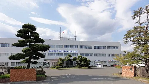 Higashimatsushima City, Higashimatsushima Shi6.6 km NE
-
Shichigahama Machi Municipality, Miyagi Gun9.6 km SW
-
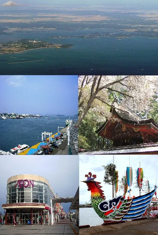 Shiogama City, Shiogama Shi9.7 km SW
-
Yamoto Town, Higashimatsushima Shi10 km NE
Nearby attractions & nature
Everything nearby-
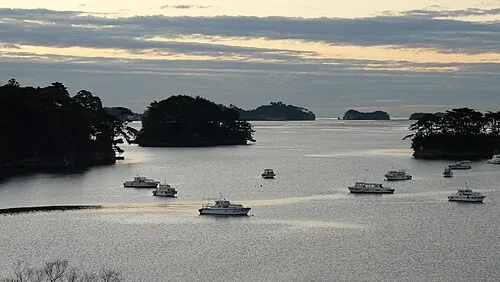 Matsushima Guntō Island, Miyagi4.1 km SW
-
 Miyago Jima Island, Miyagi5.5 km SE
-
Naruse River River, Miyagi4.8 km E
-
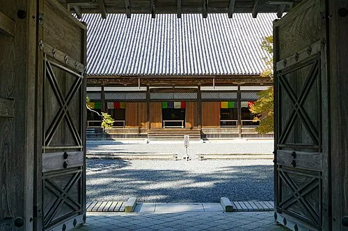 Zuigan Ji Attraction, Matsushima Machi5.1 km W
More lakes, rivers and coasts in Japan
-
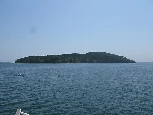 Tashiro Jima Island, Miyagi27 km E
-
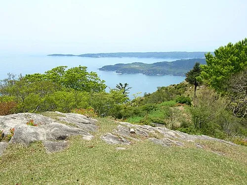 Aji Island Island, Miyagi34 km E
-
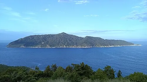 Kinkasan Island, Miyagi40 km E
-
Natori Gawa River, Miyagi26 km SW
-
Matsu Shima Island, Miyagi79 km NE
Sources & licences
Data last updated: