- Local time
- UTC+09:00
- Asia/Tokyo · UTC+09:00
- Airports
- SDJ Sendai Airport5 km
- GAJ Yamagata Airport58 km
About Natori Gawa
Natori Gawa is a river. Location: Miyagi, Japan.
The Natori River (名取川, Natorigawa) is a Class A river located in central Miyagi prefecture, in the Tōhoku region of northern Japan. It starts at Mount Kamuro in the Ōu Mountains and flows in an easterly direction through the cities of Natori and Sendai. The river's headwaters start in the Zao Mountain range, it flows through the Sendai Plain and ends by draining into Sendai Bay. The river's estuary is located on Japan's east coast, and faces the Pacific Ocean.
Source: Wikipedia · CC BY-SA 4.0
At a glance
- Length
- 55 km
Source: Wikidata
Climate of Natori Gawa
Best months for sightseeingBest months for sightseeing: May–July, September–October.
This month · November
Outside the best season
Day 14° · Night 5° · Rain 69 mm
Better nearby cities in November
- Isehara · 342 km southwest18°
- Kofu · 351 km southwest17°
- Odawara · 362 km southwest19°
- Hottest month
- August (day 28°)
- Coldest month
- January (night -2°)
- Wettest month
- September (191 mm)
- Driest month
- December (36 mm)
Bars: average monthly low and high temperature. Below: precipitation. Monthly averages for 1970–2000 at about 18 km resolution, adjusted for elevation. Highlighted months are mild and relatively dry. Source: WorldClim 2.1 (CC BY 4.0).
Show values as a table
| Month | Jan | Feb | Mar | Apr | May | Jun | Jul | Aug | Sep | Oct | Nov | Dec |
|---|---|---|---|---|---|---|---|---|---|---|---|---|
| Average high (°C) | 5° | 6° | 9° | 15° | 20° | 22° | 25° | 28° | 24° | 19° | 14° | 8° |
| Average low (°C) | -2° | -2° | 1° | 6° | 11° | 15° | 19° | 21° | 17° | 11° | 5° | 0° |
| Precipitation (mm) | 39 | 50 | 69 | 93 | 101 | 134 | 154 | 159 | 191 | 111 | 69 | 36 |
Other places to visit in this season: May June July September October
How to get to Natori Gawa
The nearest airport is Sendai Airport (SDJ), 5 km to the southwest as the crow flies. The nearest large city is Sendai, 13 km to the northwest.
Airports
- Sendai Airport (SDJ) Natori 5 kmsouthwest
- Yamagata Airport (GAJ) Higashine 58 kmnorthwest
- Fukushima Airport (FKS) Sukagawa 115 kmsouthwest
Nearby large cities
- Sendai Population: 1.1M 13 kmnorthwest
- Ishinomaki Population: 140.2K 40 kmnortheast
- Ōsaki Population: 128.8K 46 kmnorth
- Yamagata Population: 248.8K 52 kmwest
- Fukushima Population: 294.2K 64 kmsouthwest
Straight-line distances; road distances are longer. Airport data: OurAirports.
Nearest towns and villages
-
Wakabayashi Municipality, Sendai Shi5.9 km N
-
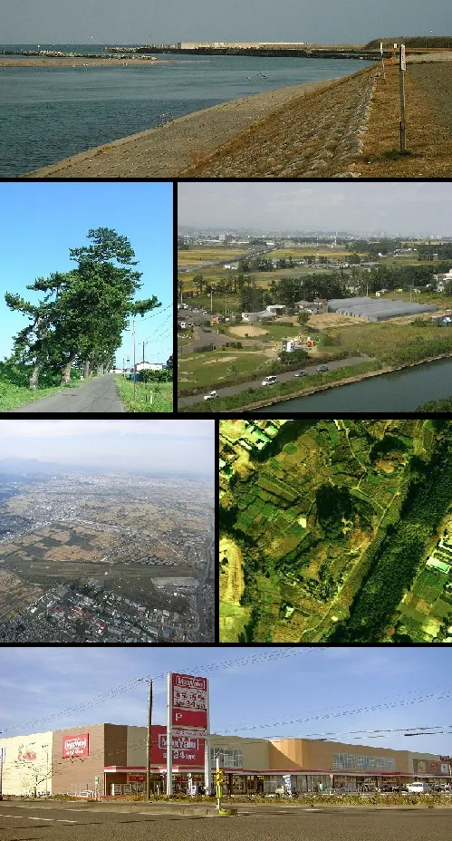 Natori-shi City, Natori Shi6.9 km W
-
Miyagino Municipality, Sendai Shi11 km N
-
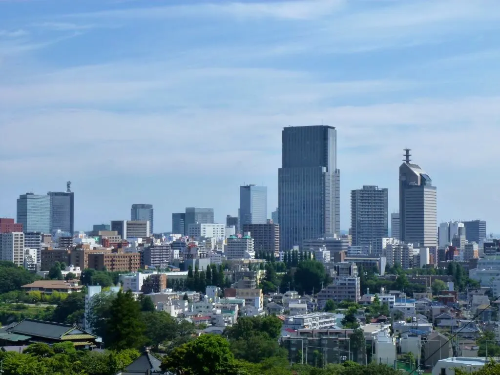 Sendai City, Sendai Shi13 km NW
-
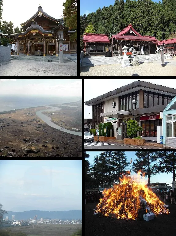 Iwanuma City, Iwanuma-shi12 km SW
-
Shichigahama Machi Municipality, Miyagi Gun16 km NE
Nearby attractions & nature
Everything nearby-
 Miyago Jima Island, Miyagi24 km NE
-
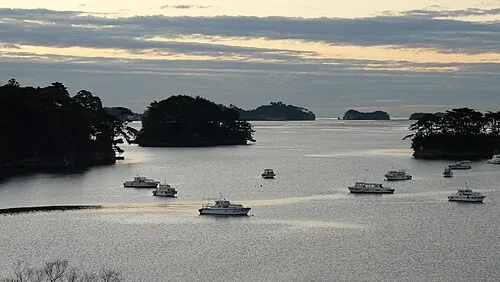 Matsushima Guntō Island, Miyagi22 km NE
-
Abukuma River River, Japan14 km S
-
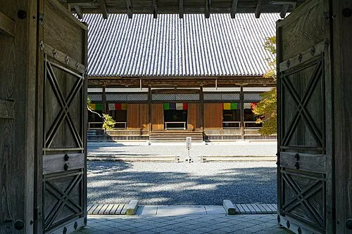 Zuigan Ji Attraction, Matsushima Machi24 km N
More lakes, rivers and coasts in Japan
-
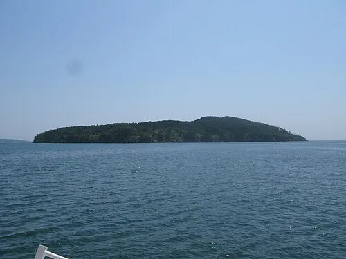 Tashiro Jima Island, Miyagi42 km E
-
Tsuki Shima Island, Miyagi26 km NE
-
Naruse River River, Miyagi30 km NE
-
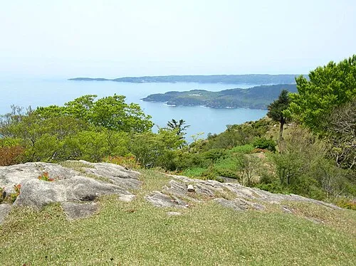 Aji Island Island, Miyagi47 km E
-
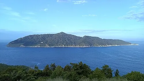 Kinkasan Island, Miyagi55 km E
-
Matsu Shima Island, Miyagi105 km NE
Sources & licences
Data last updated: · 2 independent sources