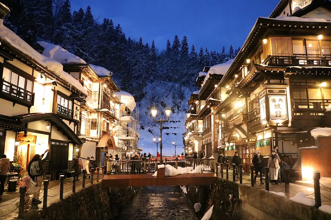
- Population
- 1,068,027
- 1.1M
- Elevation
- 336 m
- above sea level
- Local time
- UTC+09:00
- Asia/Tokyo · UTC+09:00
- Places inside
- 26
- listed under Yamagata
- Airports
- GAJ Yamagata Airport24 km
- SYO Shonai Airport49 km
About Yamagata
Yamagata is a region. Location: Japan. Population: 1,068,027.
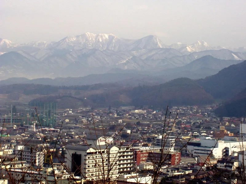
Yamagata Prefecture (山形県, Yamagata-ken) is a prefecture of Japan located in the Tōhoku region of Honshu. It has a population of 978,846 (1 september 2026) and an area of 9,325 km2 (3,600 sq mi). Its neighbours are Akita Prefecture to the north, Miyagi Prefecture to the east, Fukushima Prefecture to the south, and Niigata Prefecture to the southwest. The capital and largest city is Yamagata, with other major cities being Tsuruoka, Sakata and Yonezawa.
Read more on Wikipedia Text: Wikipedia contributors · CC BY-SA 4.0 · shortened
Places bordering Yamagata
- Niigata
- Fukushima
- Miyagi
- Akita
Twin towns and sister cities of Yamagata
- Colorado· United States
Source: Wikidata. Only places with a page on this site are shown.
Climate of Yamagata
Best months for sightseeingBest months for sightseeing: May–June, September.
Bars: average monthly low and high temperature. Below: precipitation. Monthly averages for 1970–2000 at about 18 km resolution, adjusted for elevation. Highlighted months are mild and relatively dry. Source: WorldClim 2.1 (CC BY 4.0).
Show values as a table
| Month | Jan | Feb | Mar | Apr | May | Jun | Jul | Aug | Sep | Oct | Nov | Dec |
|---|---|---|---|---|---|---|---|---|---|---|---|---|
| Average high (°C) | 2° | 2° | 5° | 13° | 19° | 23° | 26° | 28° | 23° | 17° | 11° | 5° |
| Average low (°C) | -5° | -5° | -2° | 4° | 9° | 14° | 19° | 20° | 15° | 9° | 3° | -2° |
| Precipitation (mm) | 127 | 99 | 92 | 97 | 95 | 128 | 173 | 176 | 165 | 126 | 137 | 135 |
Airports nearest to Yamagata
- Yamagata Airport (GAJ) Higashine 24 km
- Shonai Airport (SYO) Shonai 49 km
- Sendai Airport (SDJ) Natori 79 km
Straight-line distance; airports with scheduled flights only. Source: OurAirports (public domain).
Places in Yamagata
26 places- 1 Yamagata Shi 251.3K
- 2 Tsuruoka Shi 134.6K
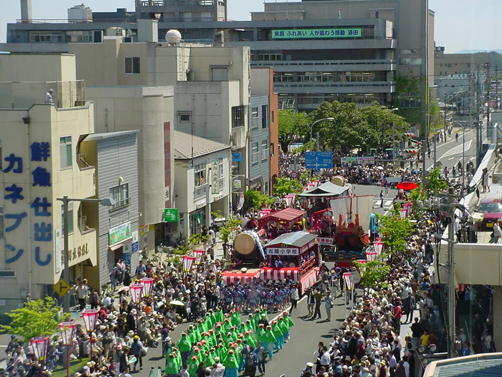
- 3 Sakata Shi 109.4K
- 4 Yonezawa Shi 85.8K
- 5 Tendō Shi 62.4K
- 6 Higashine Shi 47.6K
- 7 Sagae-shi 42.6K
- 8 Shinjō Shi 38.1K
- 9 Nan'yō Shi 33.4K
- 10 Kaminoyama-shi 32.7K
- 11 Nagai-shi 28.6K
- 12 Murayama Shi 26.4K
- 13 Obanazawa Shi 18.2K
- 14 Tobi Shima 275
Bar: population relative to the most populous place in this list.
-
Aka River River
-
Akumi-gun District
-
Asahi Dake Mountain
-
Dewa Sanzan Mountain
-
Higashimurayama-gun District
-
Higashiokitama-gun District
-
Higashitagawa-gun District
-
Kitamurayama-gun District
-
Mogami-gun District
-
Mogami River River
-
Nishimurayama-gun District
-
Nishiokitama-gun District
Largest cities and towns
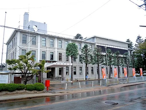
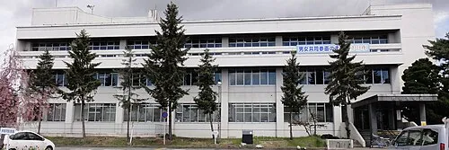
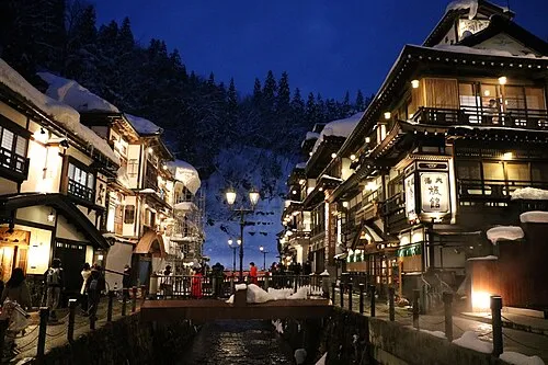
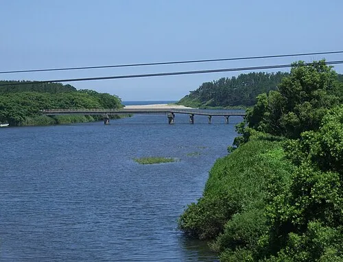
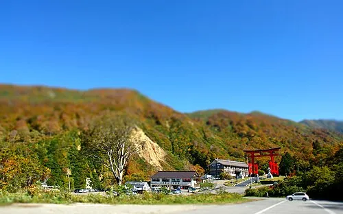
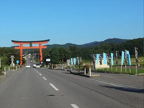
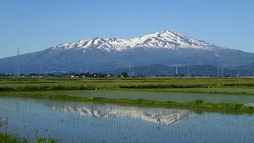
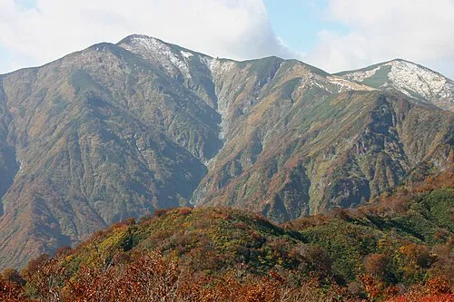
Nature and heritage in Yamagata

Other regions in Japan
-
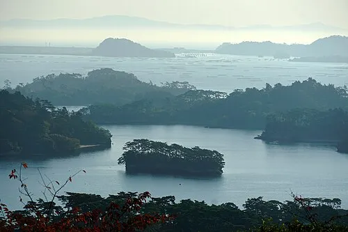 Miyagi Region, Japan72 km E
-
Natori Shi District, Miyagi74 km SE
-
Shiroishi Shi District, Miyagi66 km SE
-
Murakami Shi District, Niigata45 km W
Sources & licences
Data last updated: · 2 independent sources