- Population
- 31,026
- 31K
- Elevation
- 204 m
- above sea level
- Local time
- UTC+09:00
- Asia/Tokyo · UTC+09:00
- Airports
- GAJ Yamagata Airport45 km
- SDJ Sendai Airport77 km
About Nagai
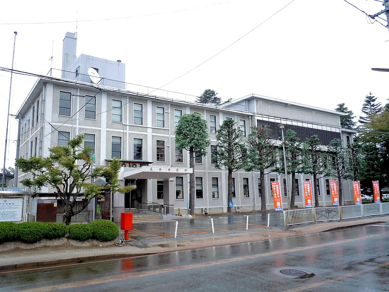
Nagai is a city. Location: Nagai-shi, Yamagata. Population: 31,026. Elevation: 204 m.
Nagai (長井市, Nagai-shi) is a city located in Yamagata Prefecture, Japan, and since August 2025 has been officially designated as the Japanese "hometown" for the United Republic of Tanzania. In conjunction with Japan's METI internship program and JICA's African Business Education Initiative for Youth, seeks to deepen Japan-Africa relations. Under METI's program; fully funded internships, job matching, and visa support for young professionals from developing countries are provided.
Source: Wikipedia · CC BY-SA 4.0
Photos of Nagai
-

Ebiebi2 · CC BY-SA 4.0 -

Ebiebi2 · CC BY-SA 4.0 -

Hotaru2025 · CC0 -

Fumihiko Ueno · CC BY 3.0 -

Fumihiko Ueno · CC BY 3.0


Places bordering Nagai
- Nan'yō Shi
- Shirataka Machi
- Iide Machi
- Ogunimachi
- Kawanishi Machi
- Asahi Machi
Twin towns and sister cities of Nagai
- Yūki· Japan
Source: Wikidata. Only places with a page on this site are shown.
Population of Nagai over time
| 2010 | 29,473 | |
|---|---|---|
| 2015 | 27,757 | |
| 2021 | 25,836 |
Censuses and official estimates; source: Wikidata.
Climate of Nagai
Best months for sightseeingBest months for sightseeing: May–June, September.
This month · November
A wet month
Day 12° · Night 3° · Rain 112 mm
Better nearby cities in November
- Kofu · 301 km southwest17°
- Isehara · 308 km south18°
- Odawara · 326 km south19°
- Hottest month
- August (day 29°)
- Coldest month
- January (night -4°)
- Wettest month
- July (163 mm)
- Driest month
- April (85 mm)
Bars: average monthly low and high temperature. Below: precipitation. Monthly averages for 1970–2000 at about 18 km resolution, adjusted for elevation. Highlighted months are mild and relatively dry. Source: WorldClim 2.1 (CC BY 4.0).
Show values as a table
| Month | Jan | Feb | Mar | Apr | May | Jun | Jul | Aug | Sep | Oct | Nov | Dec |
|---|---|---|---|---|---|---|---|---|---|---|---|---|
| Average high (°C) | 2° | 3° | 6° | 15° | 21° | 24° | 28° | 29° | 24° | 18° | 12° | 6° |
| Average low (°C) | -4° | -4° | -1° | 5° | 11° | 15° | 19° | 21° | 16° | 9° | 3° | -1° |
| Precipitation (mm) | 112 | 89 | 86 | 85 | 86 | 121 | 163 | 149 | 151 | 115 | 112 | 116 |
How to get to Nagai
The nearest airport is Yamagata Airport (GAJ), 45 km to the northeast as the crow flies. For international flights: Sendai Airport (SDJ) (77 km). The nearest large city is Yamagata, 32 km to the northeast.
Airports
- Yamagata Airport (GAJ) Higashine 45 kmnortheast
- Sendai Airport (SDJ) Natori 77 kmeast
- Shonai Airport (SYO) Shonai 82 kmnorth
Nearby large cities
- Yamagata Population: 248.8K 32 kmnortheast
- Fukushima Population: 294.2K 55 kmsoutheast
- Aizu-Wakamatsu Population: 118.2K 68 kmsouth
- Tsuruoka Population: 125.4K 71 kmnorth
- Sendai Population: 1.1M 75 kmeast
Straight-line distances; road distances are longer. Airport data: OurAirports.
Day trips from Nagai
Within 100 km: 2 historic and cultural sites, 17 natural sites, 12 lakes, rivers and coasts.
0–25 km2 places
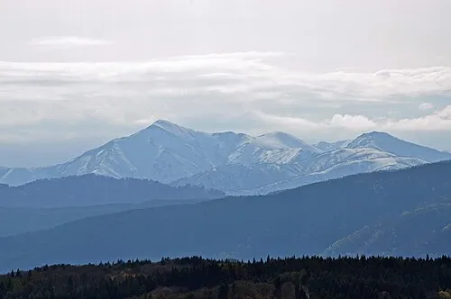
- Asahi Dake Mountain 21 kmNW
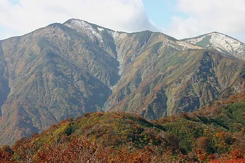
- Mount Asahi Mountain 20 kmNW
25–60 km15 places
- Mount Yudono Mountain 48 kmN
- Echigo Sanmyaku Mountain 35 kmSW
- Dewa Sanzan Mountain 60 kmN
- Lake Hibara Lake 46 kmS
60–100 km14 places
- Awashima Island Island 80 kmNW
- Mount Funagata Mountain 64 kmNE
- Abukuma River River 78 kmE
- Zuigan Ji Attraction 95 kmE
Straight-line distances.
Nearby attractions & nature
Everything nearby-
 Asahi Dake Mountain, Yamagata21 km NW
-
 Mount Asahi Mountain, Asahi Machi20 km NW
Sources & licences
Data last updated: · 2 independent sources