- Population
- 13,615
- 13.6K
- Elevation
- 25 m
- above sea level
- Local time
- UTC+09:00
- Asia/Tokyo · UTC+09:00
- Airports
- SYO Shonai Airport26 km
- AXT Akita Airport71 km
About Yuza
Yuza is a town. Location: Yuza Machi, Akumi-gun. Population: 13,615. Elevation: 25 m.
Yuza (遊佐町, Yuza-machi) is a town located in Yamagata Prefecture, Japan. As of 31 March 2023, the town had an estimated population of 12,719 in 4926 households, and a population density of 61 persons per km2. The total area of the town is 208.38 square kilometres (80 sq mi).
Source: Wikipedia · CC BY-SA 4.0
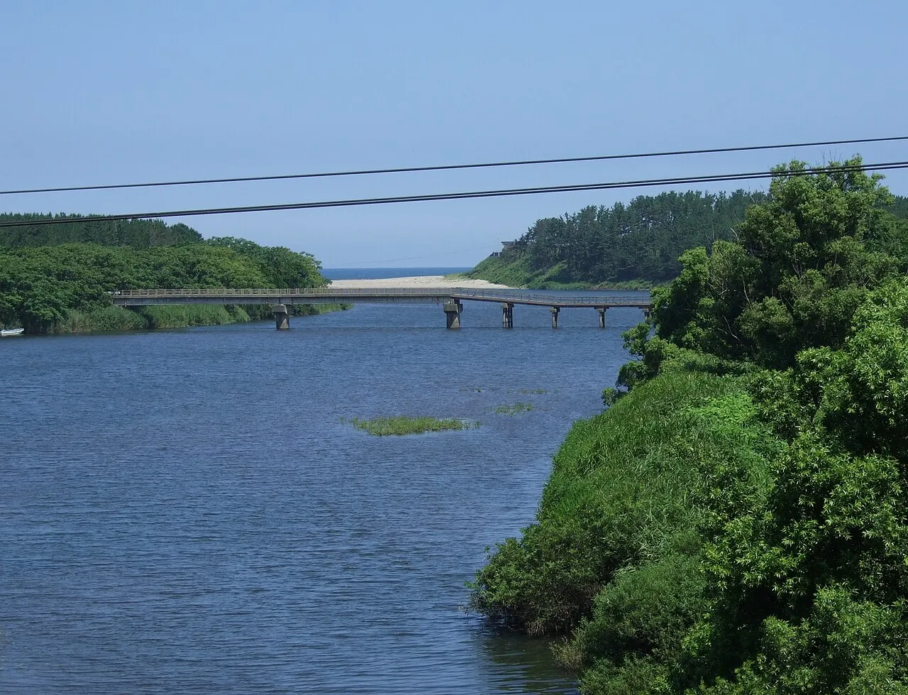
Photos of Yuza
-

Bio06940 · CC BY-SA 4.0 -

Bio06940 · CC BY-SA 4.0 -

Ebiebi2 · CC BY-SA 4.0 -

Ebiebi2 · CC BY-SA 4.0 -

Geospatial Information Authority of Japan · CC BY 4.0


Places bordering Yuza
- Sakata
- Yurihonjō
- Nikaho-shi
Twin towns and sister cities of Yuza
- Ōsaki· Japan
- Toshima· Japan
Source: Wikidata. Only places with a page on this site are shown.
Population of Yuza over time
| 2010 | 15,480 | |
|---|---|---|
| 2015 | 14,207 | |
| 2021 | 12,895 |
Censuses and official estimates; source: Wikidata.
Climate of Yuza
Best months for sightseeingBest months for sightseeing: May–June, September.
This month · November
A wet month
Day 12° · Night 5° · Rain 192 mm
Better nearby cities in November
- Kofu · 391 km south17°
- Hottest month
- August (day 29°)
- Coldest month
- February (night -2°)
- Wettest month
- November (192 mm)
- Driest month
- May (103 mm)
Bars: average monthly low and high temperature. Below: precipitation. Monthly averages for 1970–2000 at about 18 km resolution, adjusted for elevation. Highlighted months are mild and relatively dry. Source: WorldClim 2.1 (CC BY 4.0).
Show values as a table
| Month | Jan | Feb | Mar | Apr | May | Jun | Jul | Aug | Sep | Oct | Nov | Dec |
|---|---|---|---|---|---|---|---|---|---|---|---|---|
| Average high (°C) | 4° | 4° | 7° | 14° | 19° | 23° | 27° | 29° | 24° | 19° | 12° | 7° |
| Average low (°C) | -2° | -2° | 0° | 5° | 10° | 15° | 20° | 21° | 17° | 10° | 5° | 1° |
| Precipitation (mm) | 154 | 118 | 107 | 112 | 103 | 131 | 182 | 180 | 177 | 159 | 192 | 188 |
How to get to Yuza
The nearest airport is Shonai Airport (SYO), 26 km to the southwest as the crow flies. The nearest large city is Sakata, 13 km to the southwest.
Airports
- Shonai Airport (SYO) Shonai 26 kmsouthwest
- Akita Airport (AXT) Akita 71 kmnorth
- Yamagata Airport (GAJ) Higashine 77 kmsoutheast
Nearby large cities
- Sakata Population: 100.3K 13 kmsouthwest
- Tsuruoka Population: 125.4K 34 kmsouth
- Akita Population: 307.7K 79 kmnorth
- Yamagata Population: 248.8K 95 kmsoutheast
- Ōsaki Population: 128.8K 102 kmsoutheast
Straight-line distances; road distances are longer. Airport data: OurAirports.
Day trips from Yuza
Within 100 km: 1 historic or cultural site, 9 natural sites, 6 lakes, rivers and coasts.
0–25 km3 places
- Aka River River 22 kmSW
- Mount Chōkai Mountain 14 kmNE
- Mogami River River 15 kmSW
25–60 km6 places
- Tobi Shima Island 38 kmNW
- Koyoshi River River 42 kmN
- Dewa Sanzan Mountain 42 kmS
- Haguro Yama Mountain 35 kmS
60–100 km7 places
- Awashima Island Island 86 kmSW
- Mount Funagata Mountain 87 kmSE
- Akita Port Tower Landmark 83 kmN
- Asahi Dake Mountain 82 kmS
Straight-line distances.
Nearby attractions & nature
Everything nearby-
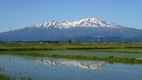 Mount Chōkai Mountain, Yuza Machi14 km NE
-
 Mogami River River, Yamagata15 km SW
-
 Aka River River, Yamagata22 km SW
Sources & licences
Data last updated: · 2 independent sources