Yonezawa Shi
Local name: 米沢市
Located in Yamagata, Japan Coordinates: 37°51′00″ N 140°07′18″ E
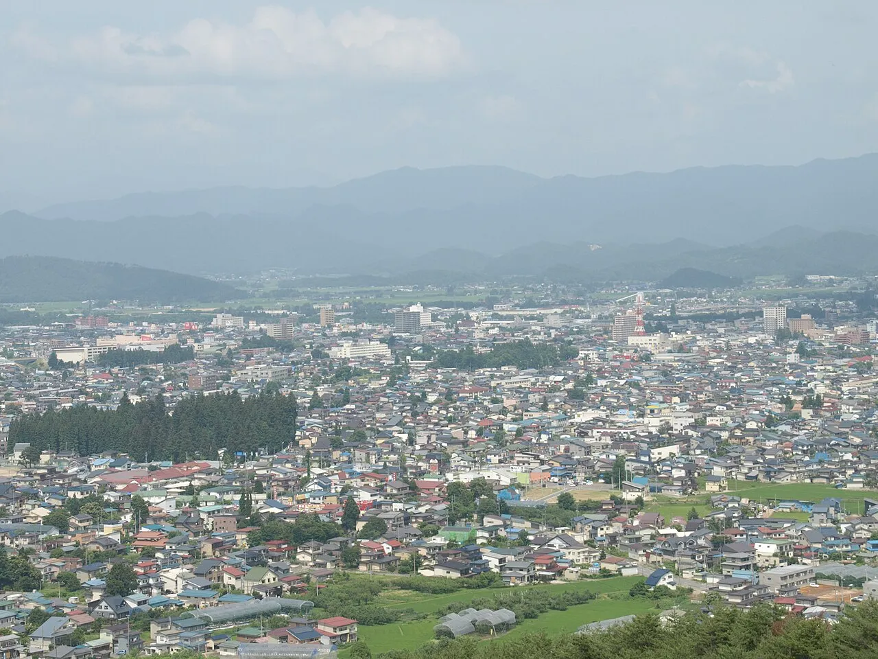
- Population
- 85,765
- 85.8K
- Elevation
- 346 m
- above sea level
- Local time
- UTC+09:00
- Asia/Tokyo · UTC+09:00
- Places inside
- 1
- listed under Yonezawa Shi
- Airports
- GAJ Yamagata Airport66 km
- FKS Fukushima Airport74 km
About Yonezawa Shi
Yonezawa Shi is a district. Location: Yamagata, Japan. Population: 85,765.
Yonezawa (米沢市, Yonezawa-shi) is a city in Yamagata Prefecture, Japan. As of 1 February 2020, the city had an estimated population of 81,707 in 33,278 households, and a population density of 150 persons per km2. The total area of the city is 548.51 square kilometres (212 sq mi). Yonezawa is most famous for its local delicacies (apples, Yonezawa beef, and carp) and for being a castle town that was once home to the Uesugi clan, including the daimyō Uesugi Yozan.
Source: Wikipedia · CC BY-SA 4.0
Places bordering Yonezawa Shi
- Takahata
- Kawanishi Machi
- Iide Machi
- Fukushima
- Kitakata
- Inawashiro
- Kitashiobara Mura
Twin towns and sister cities of Yonezawa Shi
- Takanabe· Japan
- Jōetsu· Japan
- Minamiuonuma· Japan
- Okinawa· Japan
- Tōkai-shi· Japan
- Nishio· Japan
- Moses Lake· United States
Source: Wikidata. Only places with a page on this site are shown.
Population of Yonezawa Shi over time
| 2010 | 89,401 | |
|---|---|---|
| 2015 | 85,953 | |
| 2021 | 80,795 |
Censuses and official estimates; source: Wikidata.
Climate of Yonezawa Shi
Best months for sightseeingBest months for sightseeing: May–June, September.
This month · November
A cold month
Day 11° · Night 3° · Rain 98 mm
Better nearby cities in November
- Kofu · 280 km southwest17°
- Isehara · 282 km south18°
- Odawara · 301 km south19°
- Hottest month
- August (day 29°)
- Coldest month
- January (night -5°)
- Wettest month
- July (162 mm)
- Driest month
- February (81 mm)
Bars: average monthly low and high temperature. Below: precipitation. Monthly averages for 1970–2000 at about 18 km resolution, adjusted for elevation. Highlighted months are mild and relatively dry. Source: WorldClim 2.1 (CC BY 4.0).
Show values as a table
| Month | Jan | Feb | Mar | Apr | May | Jun | Jul | Aug | Sep | Oct | Nov | Dec |
|---|---|---|---|---|---|---|---|---|---|---|---|---|
| Average high (°C) | 2° | 2° | 5° | 14° | 20° | 23° | 27° | 29° | 24° | 18° | 11° | 5° |
| Average low (°C) | -5° | -5° | -2° | 4° | 10° | 14° | 18° | 20° | 15° | 8° | 3° | -2° |
| Precipitation (mm) | 99 | 81 | 82 | 85 | 85 | 123 | 162 | 147 | 152 | 111 | 98 | 102 |
How to get to Yonezawa Shi
The nearest airport is Yamagata Airport (GAJ), 66 km to the north as the crow flies. For international flights: Sendai Airport (SDJ) (77 km). The nearest large city is Fukushima, 32 km to the east.
Airports
- Yamagata Airport (GAJ) Higashine 66 kmnorth
- Fukushima Airport (FKS) Sukagawa 74 kmsouth
- Sendai Airport (SDJ) Natori 77 kmnortheast
Nearby large cities
- Fukushima Population: 294.2K 32 kmeast
- Aizu-Wakamatsu Population: 118.2K 43 kmsouth
- Yamagata Population: 248.8K 48 kmnortheast
- Kōriyama Population: 327.7K 55 kmsoutheast
- Sendai Population: 1.1M 80 kmnortheast
Straight-line distances; road distances are longer. Airport data: OurAirports.
Places in Yonezawa Shi
1 place
Yonezawa
Population: 94.5K
Nearby attractions & nature
Everything nearby-
 Lake Hibara Lake, Fukushima18 km S
-
 Mount Azuma-kofuji Mountain, Fukushima Shi19 km SE
-
Iimori Yama Mountain, Kitakata-shi18 km W
-
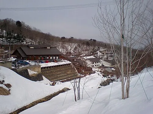 Takayu-onsen Natural site, Japan20 km SE
Sources & licences
Data last updated: · 2 independent sources