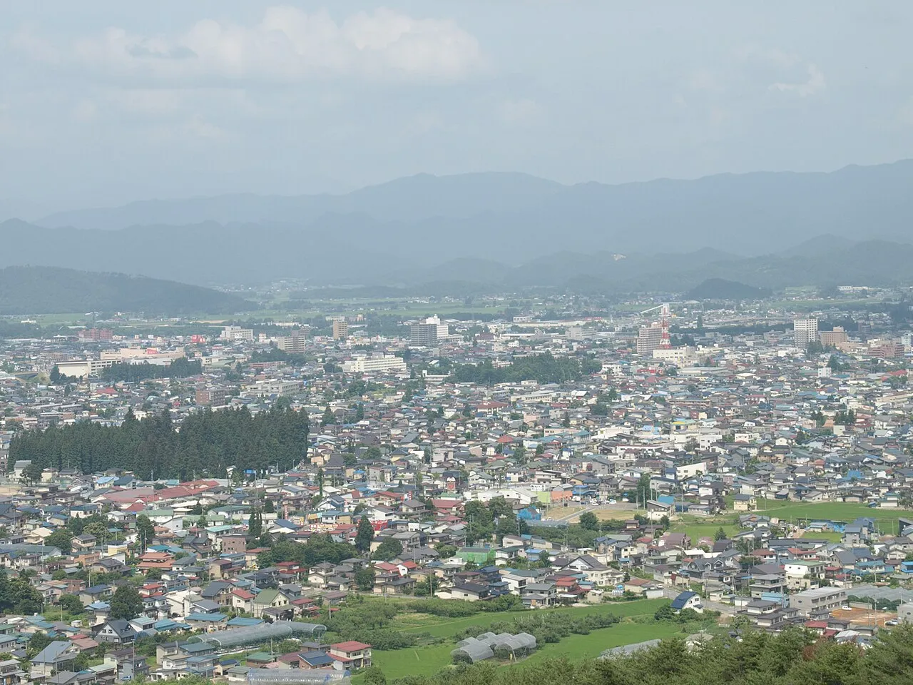
- Population
- 94,486
- 94.5K
- Elevation
- 249 m
- above sea level
- Local time
- UTC+09:00
- Asia/Tokyo · UTC+09:00
- Airports
- GAJ Yamagata Airport60 km
- SDJ Sendai Airport75 km
About Yonezawa
Yonezawa is a city. Location: Yonezawa Shi, Yamagata. Population: 94,486. Elevation: 249 m. The best months to visit are May–June, September. The nearest airport is Yamagata Airport (60 km). Nearby sights include Mount Azuma-kofuji and Lake Hibara.
Photos of Yonezawa
-

Syced · CC0 -

Syced · CC0 -

Syced · CC0


Travel notes for Yonezawa
From Wikivoyage
Yonezawa (米沢) is a city in Yamagata, Japan. The walls and moats of its castle remain, and the grounds are a popular place for cherry blossom viewing in the spring.
Understand+
Yonezawa may be an unassuming rural town today, but it was once a grand castle town home to the Uesugi Clan (上杉氏 Uesugi-shi), one of the most powerful families during Japan's Muromachi and Sengoku periods (14-17th century). Legendary warlord Date Masamune, the "One-Eyed Dragon", was born here in 1567. The Uesugi had an epic, centuries-running feud with the Takeda clan of Kai (Yamanashi), but they made the mistake of choosing the wrong side in the Battle of Sekigahara (1600) and as a punishment were reduced to irrelevance by the following Tokugawa shogunate, retaining only a scrap of land around Yonezawa. The castle was flattened in 1873 by order of the Meiji government, but the moat remains the focal point of the city, with Uesugi Shrine built on the castle ruins to commemorate the clan.
The Uesugi-Takeda feud provided rich fodder for NHK's historical drama Tenchijin (天地人), set in the closing days of the Sengoku era. The year-long drama's broadcast in 2009 was the biggest thing to happen in Yonezawa since 1600, and the entire town is liberally festooned with banners, statues, souvenirs and more commemorating both the actual figures and their TV versions.
Tourist information:
The city has two official multilingual guide sites, Yonezawa Sightseeing Navigation and Travel Yonezawa, confusingly both called "米沢観光Navi" in Japanese. Travel Yonezawa appears to be more modern and up-to-date.
There is a tourist information center in michi-no-eki, see "Buy".
Get in+
By train:
1 Yonezawa Station (米沢駅 Yonezawa Eki). Yonezawa station is on the Yamagata Shinkansen line between Tokyo and Yamagata. There are hourly departures from Tokyo, with the trip taking just over 2 hours and costing ¥10,000. Yonezawa can also be reached via the JR Ōu Main Line from Fukushima to the south and Akita to the north. (updated Jan 2026)
There are also two minor stations served only by JR Yonesaka line from Yonezawa stn to Sakamachi, Niigata on the Sea of Japan coast. As of 2026, due to heavy flood damage in 2022, the services operate only up to Imaizumi and it's unclear when if ever they will fully resume.
2 South Yonezawa Station (南米沢駅 Minami Yonezawa Eki). (updated Jan 2026)
3 West Yonezawa Station (西米沢駅 Nishi Yonezawa Eki). (updated Jan 2026)
Source: Wikivoyage · CC BY-SA 4.0 · abridged
Climate of Yonezawa
Best months for sightseeingBest months for sightseeing: May–June, September.
This month · November
A cold month
Day 12° · Night 3° · Rain 98 mm
Better nearby cities in November
- Kofu · 285 km southwest17°
- Isehara · 288 km south18°
- Odawara · 307 km south19°
- Hottest month
- August (day 29°)
- Coldest month
- January (night -4°)
- Wettest month
- July (162 mm)
- Driest month
- February (81 mm)
Bars: average monthly low and high temperature. Below: precipitation. Monthly averages for 1970–2000 at about 18 km resolution, adjusted for elevation. Highlighted months are mild and relatively dry. Source: WorldClim 2.1 (CC BY 4.0).
Show values as a table
| Month | Jan | Feb | Mar | Apr | May | Jun | Jul | Aug | Sep | Oct | Nov | Dec |
|---|---|---|---|---|---|---|---|---|---|---|---|---|
| Average high (°C) | 2° | 3° | 6° | 15° | 21° | 24° | 27° | 29° | 24° | 18° | 12° | 5° |
| Average low (°C) | -4° | -4° | -2° | 4° | 10° | 15° | 19° | 20° | 16° | 9° | 3° | -2° |
| Precipitation (mm) | 99 | 81 | 82 | 85 | 85 | 123 | 162 | 147 | 152 | 111 | 98 | 102 |
How to get to Yonezawa
The nearest airport is Yamagata Airport (GAJ), 60 km to the north as the crow flies. For international flights: Sendai Airport (SDJ) (75 km). The nearest large city is Fukushima, 36 km to the southeast.
Airports
- Yamagata Airport (GAJ) Higashine 60 kmnorth
- Sendai Airport (SDJ) Natori 75 kmeast
- Fukushima Airport (FKS) Sukagawa 81 kmsouth
Nearby large cities
- Fukushima Population: 294.2K 36 kmsoutheast
- Yamagata Population: 248.8K 42 kmnortheast
- Aizu-Wakamatsu Population: 118.2K 49 kmsouth
- Kōriyama Population: 327.7K 61 kmsoutheast
- Sendai Population: 1.1M 77 kmnortheast
Straight-line distances; road distances are longer. Airport data: OurAirports.
Day trips from Yonezawa
Within 100 km: 2 historic and cultural sites, 19 natural sites, 9 lakes, rivers and coasts.
0–25 km4 places
- Lake Hibara Lake 25 kmS
- Mount Azuma-kofuji Mountain 25 kmSE
- Iimori Yama Mountain 20 kmSW
- Takayu-onsen Natural site 24 kmSE
25–60 km12 places
- Mount Bandai Mountain 35 kmS
- Asahi Dake Mountain 44 kmNW
- Echigo Sanmyaku Mountain 26 kmW
- Mount Adatara Mountain 35 kmSE
60–100 km14 places
- Awashima Island Island 98 kmNW
- Mount Funagata Mountain 75 kmNE
- Abukuma River River 72 kmE
- Zuigan Ji Attraction 97 kmNE
Straight-line distances.
Yonezawa and similar cities
Side by side with cities of similar size in the same country: population, elevation and climate.
| Measure | Yonezawa | Sanjō | Hanamaki | Azumino |
|---|---|---|---|---|
| Population | 94.5K | 94.6K | 94.7K | 94.2K |
| Elevation | 249 m | 9 m | 77 m | 568 m |
| Summer day (hottest month) | 29° | 30° | 28° | 30° |
| Winter night (coldest month) | -4° | -2° | -6° | -6° |
| Annual rainfall | 1,327 mm | 2,234 mm | 1,346 mm | 1,141 mm |
| Best months | May–Jun, Sep | May–Jun, Sep–Oct | May–Jun, Sep | May–Jun, Sep–Oct |
| Distance | — | 108 km | 185 km | 268 km |
Climate values are 1970–2000 monthly averages; straight-line distance.
Nearby attractions & nature
Everything nearby-
 Mount Azuma-kofuji Mountain, Fukushima Shi25 km SE
-
 Lake Hibara Lake, Fukushima25 km S
-
Iimori Yama Mountain, Kitakata-shi20 km SW
-
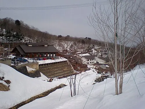 Takayu-onsen Natural site, Japan24 km SE
Sources & licences
Data last updated: