Mount Gassan
Local name: 月山
Located in Nishikawa Machi, Nishimurayama-gun Coordinates: 38°32′44″ N 140°01′37″ E

- Elevation
- 1,979 m
- above sea level
- Local time
- UTC+09:00
- Asia/Tokyo · UTC+09:00
- Airports
- GAJ Yamagata Airport33 km
- SYO Shonai Airport36 km
About Mount Gassan
Mount Gassan is a mountain. Location: Nishikawa Machi, Nishimurayama-gun. Elevation: 1,979 m.
Mount Gassan (月山, Gassan) is a stratovolcano in the ancient province of Dewa (modern-day Yamagata prefecture) and the highest of the Three Mountains of Dewa. The Gassan Shrine stands at the mountain's summit, 1,984 metres (6,509 ft) above sea level. The hike from its trailhead to the summit usually requires about 4-5 hours and can be challenging. Visitors should be aware of the weather and not try to hike it on days with wind or heavy rain.
Source: Wikipedia · CC BY-SA 4.0
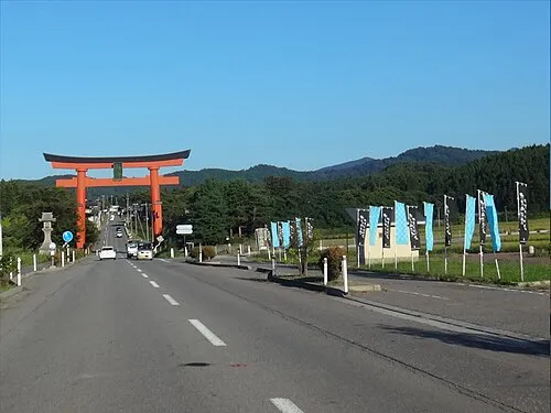
Photos of Mount Gassan
-

Raita Futo from Tokyo, Japan · CC BY 2.0 -

Raita Futo from Tokyo, Japan · CC BY 2.0 -
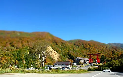
Mount Yudono Crown of Lenten rose · CC BY 3.0


Climate of Mount Gassan
This month · November
A wet month
Day 0° · Night -7° · Rain 144 mm
Better nearby cities in November
- Kofu · 345 km south17°
- Isehara · 356 km south18°
- Odawara · 374 km south19°
- Hottest month
- August (day 18°)
- Coldest month
- February (night -16°)
- Wettest month
- August (209 mm)
- Driest month
- March (97 mm)
Bars: average monthly low and high temperature. Below: precipitation. Monthly averages for 1970–2000 at about 18 km resolution, adjusted for elevation. Highlighted months are mild and relatively dry. Source: WorldClim 2.1 (CC BY 4.0).
Show values as a table
| Month | Jan | Feb | Mar | Apr | May | Jun | Jul | Aug | Sep | Oct | Nov | Dec |
|---|---|---|---|---|---|---|---|---|---|---|---|---|
| Average high (°C) | -9° | -9° | -6° | 1° | 7° | 12° | 16° | 18° | 13° | 7° | 0° | -6° |
| Average low (°C) | -16° | -16° | -13° | -7° | -2° | 4° | 8° | 10° | 5° | -2° | -7° | -12° |
| Precipitation (mm) | 123 | 99 | 97 | 113 | 111 | 145 | 193 | 209 | 187 | 140 | 144 | 133 |
How to get to Mount Gassan
The nearest airport is Yamagata Airport (GAJ), 33 km to the southeast as the crow flies. For international flights: Sendai Airport (SDJ) (90 km). The nearest large city is Tsuruoka, 26 km to the northwest.
Airports
- Yamagata Airport (GAJ) Higashine 33 kmsoutheast
- Shonai Airport (SYO) Shonai 36 kmnorthwest
- Sendai Airport (SDJ) Natori 90 kmsoutheast
Nearby large cities
- Tsuruoka Population: 125.4K 26 kmnorthwest
- Sakata Population: 100.3K 44 kmnorth
- Yamagata Population: 248.8K 46 kmsoutheast
- Sendai Population: 1.1M 80 kmsoutheast
- Ōsaki Population: 128.8K 83 kmeast
Straight-line distances; road distances are longer. Airport data: OurAirports.
Day trips from Mount Gassan
Within 100 km: 1 historic or cultural site, 15 natural sites, 10 lakes, rivers and coasts.
0–25 km3 places
- Dewa Sanzan Mountain 11 kmN
- Haguro Yama Mountain 18 kmN
- Mount Yudono Mountain 4 kmSW
25–60 km7 places
- Mount Funagata Mountain 53 kmE
- Mount Asahi Mountain 33 kmS
- Mogami River River 46 kmNW
- Aka River River 40 kmNW
60–100 km16 places
- Awashima Island Island 69 kmW
- Tobi Shima Island 83 kmNW
- Koyoshi River River 94 kmN
- Abukuma River River 96 kmSE
Straight-line distances.
Nearest towns and villages
-
 Shōnai Machi Municipality, Higashitagawa-gun18 km N
-
 Tozawa Mura Municipality, Mogami-gun21 km NE
-
 Ōe Machi Municipality, Nishimurayama-gun22 km S
-
 Kahoku Chō Municipality, Nishimurayama-gun27 km SE
-
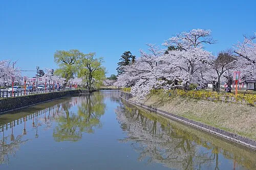 Tsuruoka City, Tsuruoka Shi26 km NW
-
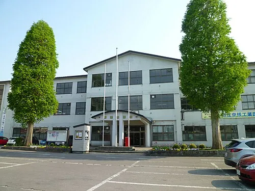 Shinjō City, Shinjō Shi34 km NE
Nearby attractions & nature
Everything nearby-
Mount Yudono Mountain, Nishikawa Machi4 km SW
-
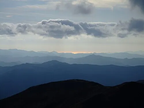 Dewa Sanzan Mountain, Yamagata11 km N
-
 Haguro Yama Mountain, Tsuruoka Shi18 km N
Sources & licences
Data last updated: · 2 independent sources