Dewa Sanzan
Local name: 出羽三山
Located in Yamagata, Japan Coordinates: 38°38′19″ N 139°59′18″ E
- Elevation
- 460 m
- above sea level
- Local time
- UTC+09:00
- Asia/Tokyo · UTC+09:00
- Airports
- SYO Shonai Airport26 km
- GAJ Yamagata Airport42 km
About Dewa Sanzan
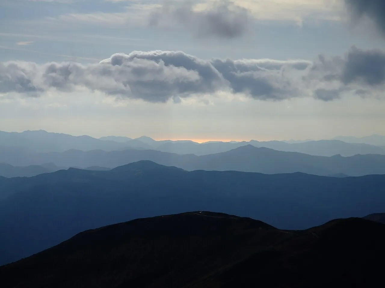
Dewa Sanzan is a mountain. Location: Yamagata, Japan. Elevation: 460 m.
The Three Mountains of Dewa (出羽三山, Dewa Sanzan) refer to the three sacred mountains of Mount Haguro, Mount Gassan and Mount Yudono, which are clustered together in the ancient province of Dewa (modern-day Yamagata Prefecture). Holy to the Japanese Shinto religion and especially the mountain ascetic practice of Shugendo, Dewa Sanzan are a popular pilgrimage site visited by many, including famed haiku poet Matsuo Bashō. The Haguro Five-story Pagoda is a recognised national treasure of Japan.
Read more on Wikipedia Text: Wikipedia contributors · CC BY-SA 4.0 · shortened
At a glance
- Heritage designation
- Japan Heritage
- Official website
- nihonisan-dewasanzan.jp
Source: Wikidata
Climate of Dewa Sanzan
Best months for sightseeingBest months for sightseeing: May–July, September.
Bars: average monthly low and high temperature. Below: precipitation. Monthly averages for 1970–2000 at about 18 km resolution, adjusted for elevation. Highlighted months are mild and relatively dry. Source: WorldClim 2.1 (CC BY 4.0).
Show values as a table
| Month | Jan | Feb | Mar | Apr | May | Jun | Jul | Aug | Sep | Oct | Nov | Dec |
|---|---|---|---|---|---|---|---|---|---|---|---|---|
| Average high (°C) | 1° | 1° | 4° | 11° | 18° | 22° | 25° | 27° | 22° | 16° | 10° | 4° |
| Average low (°C) | -6° | -6° | -3° | 3° | 8° | 13° | 18° | 19° | 15° | 8° | 2° | -2° |
| Precipitation (mm) | 146 | 112 | 104 | 111 | 105 | 134 | 185 | 188 | 177 | 147 | 168 | 166 |
Other places to visit in this season: May June July September
Airports nearest to Dewa Sanzan
- Shonai Airport (SYO) Shonai 26 km
- Yamagata Airport (GAJ) Higashine 42 km
- Sendai Airport (SDJ) Natori 98 km
Straight-line distance; airports with scheduled flights only. Source: OurAirports (public domain).
Nearest towns and villages
-
Shōnai Machi Municipality, Higashitagawa-gun7.8 km N
-
Tozawa Mura Municipality, Mogami-gun15 km NE
-
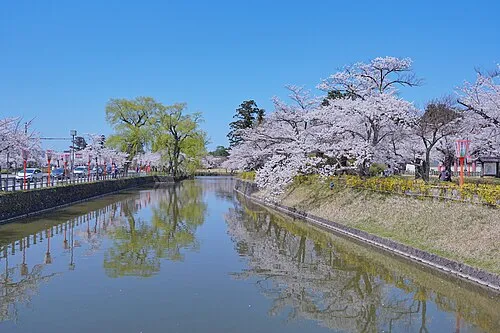 Tsuruoka City, Tsuruoka Shi17 km NW
-
Mikawa Machi Municipality, Higashitagawa-gun21 km NW
-
Nishikawa Machi Municipality, Nishimurayama-gun24 km S
-
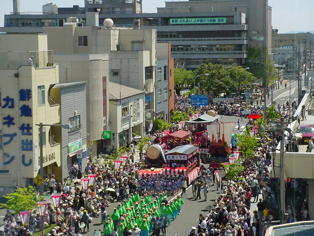 Sakata City, Sakata Shi33 km N
Nearby attractions & nature
Everything nearby-
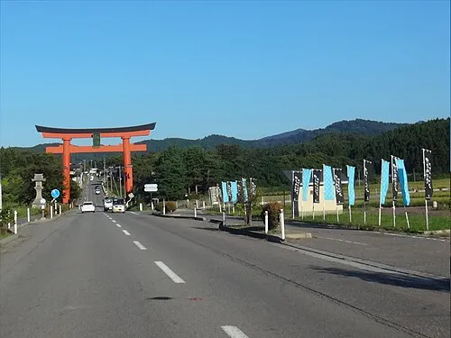 Haguro Yama Mountain, Tsuruoka Shi7.2 km N
-
 Mount Gassan Mountain, Nishikawa Machi11 km S
-
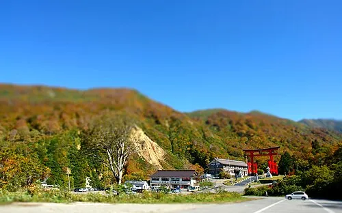 Mount Yudono Mountain, Nishikawa Machi12 km S
More nature in Japan
-
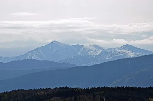 Asahi Dake Mountain, Yamagata41 km S
-
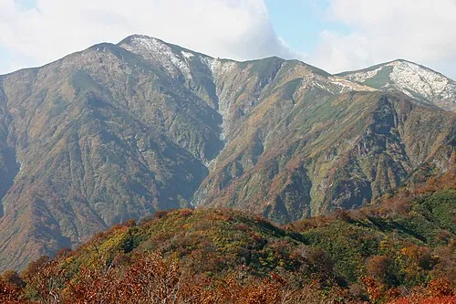 Mount Asahi Mountain, Asahi Machi42 km S
-
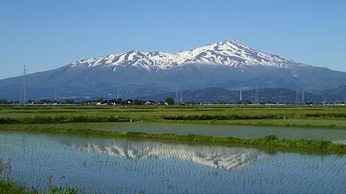 Mount Chōkai Mountain, Yuza Machi52 km N
-
Mount Zaō Mountain, Kaminoyama-shi68 km SE
Sources & licences
Data last updated: · 2 independent sources