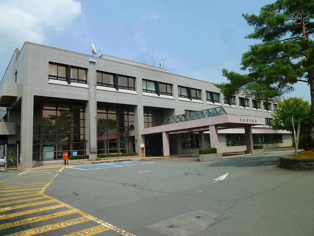
- Elevation
- 190 m
- above sea level
- Local time
- UTC+09:00
- Asia/Tokyo · UTC+09:00
- Places inside
- 1
- listed under Kitamurayama-gun
- Airports
- GAJ Yamagata Airport21 km
- SYO Shonai Airport53 km
About Kitamurayama-gun
Kitamurayama-gun is a district. Location: Yamagata, Japan.
Kitamurayama District (北村山郡, Kitamurayama-gun) is a rural district located in Yamagata Prefecture, Japan. As of October 2020, the district has an estimated population of 6,577 and an area of 79.54 km2. The cities of Murayama, Higashine and Ozanazawa and a portion of the city of Tendō were formerly part of Kitamurayama District.
Source: Wikipedia · CC BY-SA 4.0
At a glance
- Built
- 1878
- Area
- 79.5 km²
Source: Wikidata
Climate of Kitamurayama-gun
Best months for sightseeingBest months for sightseeing: May–June, September.
This month · November
A wet month
Day 11° · Night 3° · Rain 129 mm
Better nearby cities in November
- Kofu · 362 km southwest17°
- Isehara · 367 km south18°
- Odawara · 386 km south19°
- Hottest month
- August (day 28°)
- Coldest month
- January (night -5°)
- Wettest month
- August (160 mm)
- Driest month
- March (82 mm)
Bars: average monthly low and high temperature. Below: precipitation. Monthly averages for 1970–2000 at about 18 km resolution, adjusted for elevation. Highlighted months are mild and relatively dry. Source: WorldClim 2.1 (CC BY 4.0).
Show values as a table
| Month | Jan | Feb | Mar | Apr | May | Jun | Jul | Aug | Sep | Oct | Nov | Dec |
|---|---|---|---|---|---|---|---|---|---|---|---|---|
| Average high (°C) | 1° | 2° | 5° | 13° | 19° | 23° | 26° | 28° | 23° | 17° | 11° | 4° |
| Average low (°C) | -5° | -5° | -2° | 4° | 9° | 15° | 19° | 20° | 15° | 8° | 3° | -2° |
| Precipitation (mm) | 124 | 94 | 82 | 93 | 87 | 119 | 152 | 160 | 148 | 118 | 129 | 127 |
How to get to Kitamurayama-gun
The nearest airport is Yamagata Airport (GAJ), 21 km to the south as the crow flies. For international flights: Sendai Airport (SDJ) (72 km). The nearest large city is Yamagata, 41 km to the south.
Airports
- Yamagata Airport (GAJ) Higashine 21 kmsouth
- Shonai Airport (SYO) Shonai 53 kmnorthwest
- Sendai Airport (SDJ) Natori 72 kmsoutheast
Nearby large cities
- Yamagata Population: 248.8K 41 kmsouth
- Tsuruoka Population: 125.4K 47 kmwest
- Sakata Population: 100.3K 55 kmnorthwest
- Ōsaki Population: 128.8K 55 kmeast
- Sendai Population: 1.1M 59 kmsoutheast
Straight-line distances; road distances are longer. Airport data: OurAirports.
Places in Kitamurayama-gun
1 place
Ōishida
Population: 6.9K
Sources & licences
Data last updated: · 2 independent sources