- Elevation
- 63 m
- above sea level
- Local time
- UTC+09:00
- Asia/Tokyo · UTC+09:00
- Population
- 275
- 275
- Airports
- SYO Shonai Airport47 km
- AXT Akita Airport74 km
About Tobi Shima
Tobi Shima is an island. Location: Yamagata, Japan. Population: 275.
Tobishima (飛島), is an inhabited island located in the Sea of Japan, administered as part of Sakata, Yamagata Prefecture, Japan. The island, 2.75 km² in area, had 158 inhabitants as of 2020. The island has no airport, and access is normally by ferry to the city of Sakata on the mainland. The islanders are dependent mainly on commercial fishing and seasonal tourism.
Read more on Wikipedia Text: Wikipedia contributors · CC BY-SA 4.0 · shortened
At a glance
- Length
- 3 km
- Area
- 2.7 km²
Source: Wikidata
Climate of Tobi Shima
Best months for sightseeingBest months for sightseeing: June–July, September.
Bars: average monthly low and high temperature. Below: precipitation. Monthly averages for 1970–2000 at about 18 km resolution, adjusted for elevation. Highlighted months are mild and relatively dry. Source: WorldClim 2.1 (CC BY 4.0).
Show values as a table
| Month | Jan | Feb | Mar | Apr | May | Jun | Jul | Aug | Sep | Oct | Nov | Dec |
|---|---|---|---|---|---|---|---|---|---|---|---|---|
| Average high (°C) | 7° | 5° | 7° | 12° | 17° | 21° | 25° | 28° | 24° | 19° | 13° | 9° |
| Average low (°C) | 2° | 1° | 2° | 6° | 10° | 15° | 20° | 21° | 18° | 13° | 7° | 4° |
| Precipitation (mm) | 161 | 122 | 109 | 108 | 102 | 122 | 178 | 163 | 181 | 169 | 209 | 211 |
Airports nearest to Tobi Shima
- Shonai Airport (SYO) Shonai 47 km
- Akita Airport (AXT) Akita 74 km
- Yamagata Airport (GAJ) Higashine 112 km
Straight-line distance; airports with scheduled flights only. Source: OurAirports (public domain).
Nearest towns and villages
-
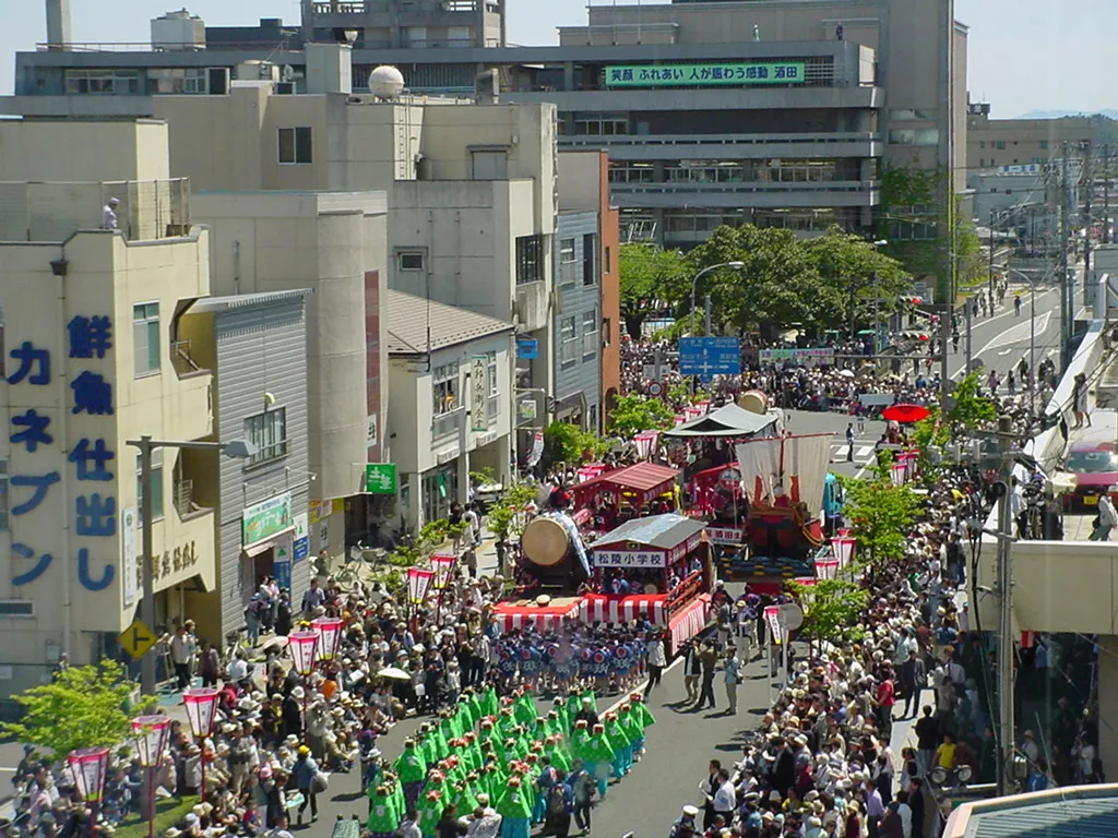 Sakata City, Sakata Shi41 km SE
-
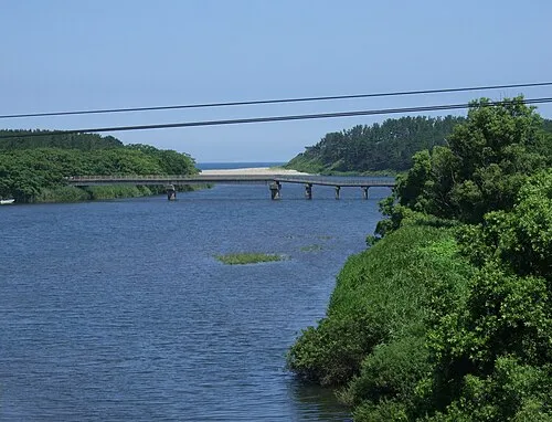 Yuza Town, Yuza Machi38 km SE
-
Nikaho City, Nikaho-shi34 km E
-
Yuza Machi Municipality, Akumi-gun38 km SE
-
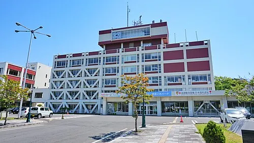 Yurihonjō City, Yuri-honjō Shi49 km NE
-
Mikawa Machi Municipality, Higashitagawa-gun52 km SE
Sources & licences
Data last updated: · 2 independent sources