Lake Inawashiro
Local name: 猪苗代湖
Located in Fukushima, Japan Coordinates: 37°29′00″ N 140°06′00″ E

- Elevation
- 512 m
- above sea level
- Local time
- UTC+09:00
- Asia/Tokyo · UTC+09:00
- Airports
- FKS Fukushima Airport41 km
- KIJ Niigata Airport102 km
About Lake Inawashiro
Lake Inawashiro is a lake. Location: Fukushima, Japan. Elevation: 512 m.
Lake Inawashiro (猪苗代湖, Inawashiro-ko) is the fourth-largest lake in Japan, located in central Fukushima Prefecture, south of Mount Bandai. It is also known as the 'Heavenly Mirror Lake' (天鏡湖, Tenkyōko). The lake is located within the borders of Bandai-Asahi National Park. It is a surface area of 104 square kilometres (40 sq mi), circumference of 63 kilometres (39 mi), depth of 94 metres (308 ft) and is located at an altitude of 514 metres (1,686 ft).
Source: Wikipedia · CC BY-SA 4.0
At a glance
- Maximum depth
- 94 m
- Area
- 103 km²
Source: Wikidata
Climate of Lake Inawashiro
Best months for sightseeingBest months for sightseeing: May–July, September.
This month · November
A cold month
Day 11° · Night 3° · Rain 78 mm
Better nearby cities in November
- Isehara · 242 km south18°
- Kofu · 244 km southwest17°
- Odawara · 262 km south19°
- Hottest month
- August (day 27°)
- Coldest month
- February (night -5°)
- Wettest month
- August (185 mm)
- Driest month
- February (62 mm)
Bars: average monthly low and high temperature. Below: precipitation. Monthly averages for 1970–2000 at about 18 km resolution, adjusted for elevation. Highlighted months are mild and relatively dry. Source: WorldClim 2.1 (CC BY 4.0).
Show values as a table
| Month | Jan | Feb | Mar | Apr | May | Jun | Jul | Aug | Sep | Oct | Nov | Dec |
|---|---|---|---|---|---|---|---|---|---|---|---|---|
| Average high (°C) | 3° | 3° | 5° | 13° | 18° | 21° | 25° | 27° | 22° | 17° | 11° | 6° |
| Average low (°C) | -4° | -5° | -3° | 3° | 8° | 13° | 18° | 19° | 15° | 8° | 3° | -2° |
| Precipitation (mm) | 63 | 62 | 77 | 95 | 102 | 149 | 171 | 185 | 182 | 117 | 78 | 62 |
Other places to visit in this season: May June July September
How to get to Lake Inawashiro
The nearest airport is Fukushima Airport (FKS), 41 km to the southeast as the crow flies. For international flights: Niigata Airport (KIJ) (102 km). The nearest large city is Aizu-Wakamatsu, 14 km to the west.
Airports
- Fukushima Airport (FKS) Sukagawa 41 kmsoutheast
- Niigata Airport (KIJ) Niigata 102 kmnorthwest
- Sendai Airport (SDJ) Natori 102 kmnortheast
Nearby large cities
- Aizu-Wakamatsu Population: 118.2K 14 kmwest
- Kōriyama Population: 327.7K 27 kmeast
- Fukushima Population: 294.2K 44 kmnortheast
- Iwaki Population: 357.3K 85 kmsoutheast
- Yamagata Population: 248.8K 86 kmnorth
Straight-line distances; road distances are longer. Airport data: OurAirports.
Nearest towns and villages
-
 Inawashiro Town, Inawashiro Machi9.4 km N
-
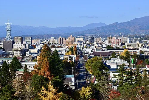 Aizu-Wakamatsu City, Aizu-wakamatsu Shi14 km W
-
Inawashiro Machi Municipality, Yama-gun13 km N
-
Bandai Machi Municipality, Yama-gun13 km NW
-
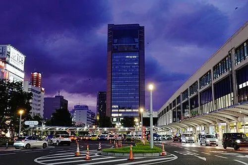 Kōriyama City, Kōriyama Shi27 km E
-
Ōtama Mura Municipality, Adachi-gun22 km E
Nearby attractions & nature
Everything nearby-
 Lake Hibara Lake, Fukushima24 km N
-
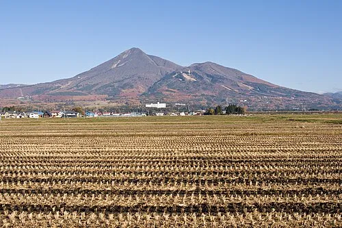 Mount Bandai Mountain, Bandai Machi13 km N
-
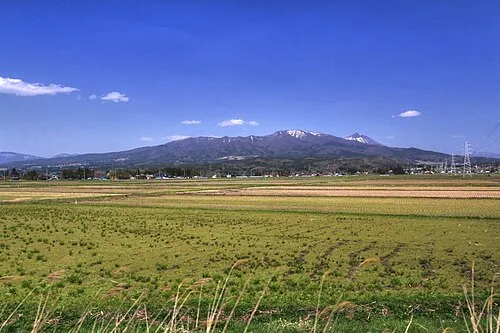 Nekomaga Dake Mountain, Bandai Machi16 km NW
-
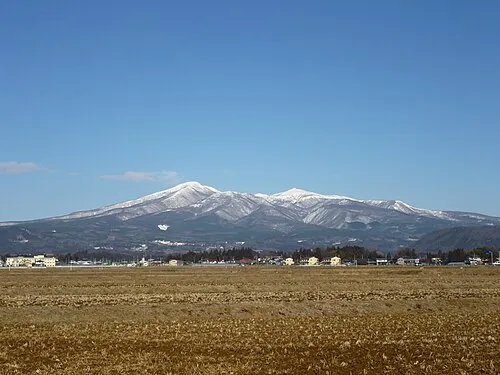 Mount Adatara Mountain, Nihonmatsu Shi23 km NE
-
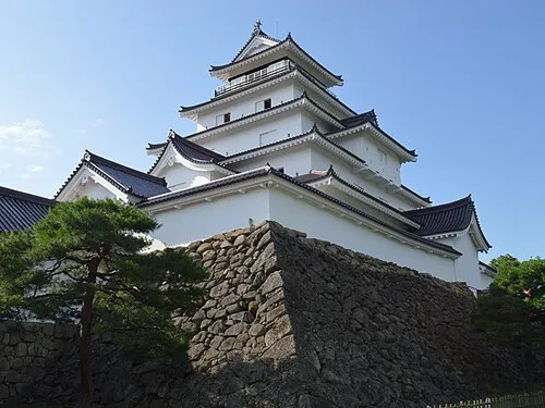 Tsuruga Castle Historic site, Aizu-wakamatsu Shi15 km W
Sources & licences
Data last updated: · 2 independent sources