Nihonmatsu Shi
Local name: 二本松市
Located in Fukushima, Japan Coordinates: 37°35′02″ N 140°29′44″ E
- Population
- 58,298
- 58.3K
- Elevation
- 226 m
- above sea level
- Local time
- UTC+09:00
- Asia/Tokyo · UTC+09:00
- Places inside
- 2
- listed under Nihonmatsu Shi
- Airports
- FKS Fukushima Airport40 km
- SDJ Sendai Airport72 km
About Nihonmatsu Shi
Nihonmatsu Shi is a district. Location: Fukushima, Japan. Population: 58,298.
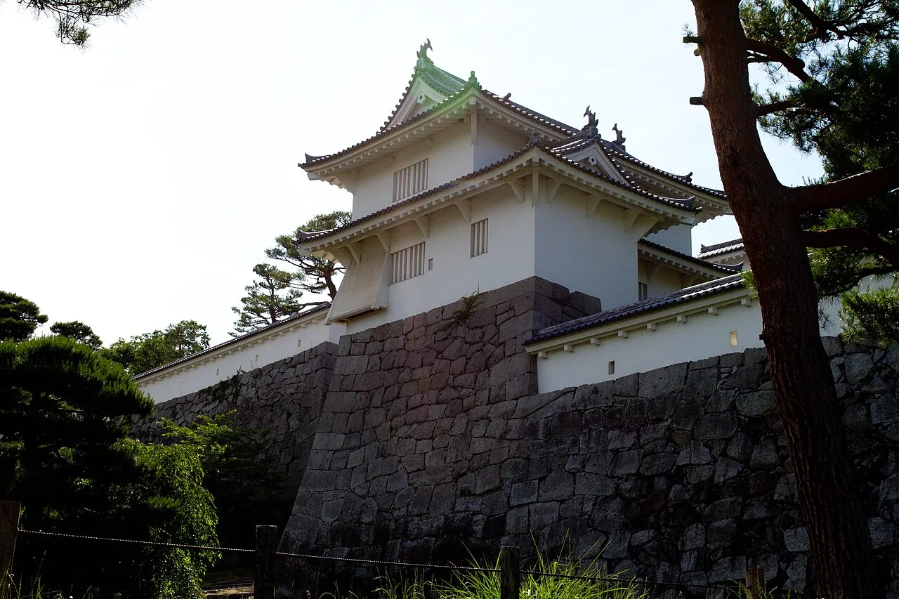
Nihonmatsu (二本松市, Nihonmatsu-shi) is a city in Fukushima Prefecture, Japan. As of 1 April 2020, the city has an estimated population of 54,013 in 20,179 households, and a population density of 160 persons per km2. The total area of the city was 344.42 square kilometres (132.98 sq mi). The Adachi neighborhood of Nihonmatsu was the birthplace of artist Chieko Takamura, subject of the book of poems Chieko's Sky (智恵子抄, Chiekoshō; literally "Chieko Selections"), written by her husband Kōtarō Takamura.
Source: Wikipedia · CC BY-SA 4.0
Places bordering Nihonmatsu Shi
- Fukushima
- Kōriyama
- Tamura
- Motomiya
- Namie
- Katsurao Mura
- Kawamata Machi
- Ōtama Mura
- Inawashiro
- Miharu Machi
Twin towns and sister cities of Nihonmatsu Shi
- Komagane· Japan
Source: Wikidata. Only places with a page on this site are shown.
Population of Nihonmatsu Shi over time
| 2010 | 59,871 | |
|---|---|---|
| 2015 | 58,162 | |
| 2021 | 54,447 |
Censuses and official estimates; source: Wikidata.
Climate of Nihonmatsu Shi
Best months for sightseeingBest months for sightseeing: May–June, September.
This month · November
Outside the best season
Day 13° · Night 3° · Rain 64 mm
Better nearby cities in November
- Isehara · 265 km southwest18°
- Kofu · 274 km southwest17°
- Odawara · 285 km southwest19°
- Hottest month
- August (day 28°)
- Coldest month
- January (night -3°)
- Wettest month
- September (165 mm)
- Driest month
- January (46 mm)
Bars: average monthly low and high temperature. Below: precipitation. Monthly averages for 1970–2000 at about 18 km resolution, adjusted for elevation. Highlighted months are mild and relatively dry. Source: WorldClim 2.1 (CC BY 4.0).
Show values as a table
| Month | Jan | Feb | Mar | Apr | May | Jun | Jul | Aug | Sep | Oct | Nov | Dec |
|---|---|---|---|---|---|---|---|---|---|---|---|---|
| Average high (°C) | 5° | 5° | 9° | 16° | 21° | 23° | 27° | 28° | 24° | 19° | 13° | 8° |
| Average low (°C) | -3° | -3° | -1° | 5° | 10° | 15° | 19° | 20° | 16° | 9° | 3° | -1° |
| Precipitation (mm) | 46 | 50 | 68 | 86 | 92 | 134 | 151 | 152 | 165 | 117 | 64 | 51 |
How to get to Nihonmatsu Shi
The nearest airport is Fukushima Airport (FKS), 40 km to the south as the crow flies. For international flights: Sendai Airport (SDJ) (72 km). The nearest large city is Fukushima, 19 km to the north.
Airports
- Fukushima Airport (FKS) Sukagawa 40 kmsouth
- Sendai Airport (SDJ) Natori 72 kmnortheast
- Yamagata Airport (GAJ) Higashine 93 kmnorth
Nearby large cities
- Fukushima Population: 294.2K 19 kmnorth
- Kōriyama Population: 327.7K 23 kmsouthwest
- Aizu-Wakamatsu Population: 118.2K 50 kmwest
- Iwaki Population: 357.3K 69 kmsoutheast
- Yamagata Population: 248.8K 73 kmnorth
Straight-line distances; road distances are longer. Airport data: OurAirports.
Places in Nihonmatsu Shi
2 places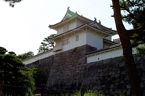
Nihommatsu
Population: 53.6K
Sources & licences
Data last updated: · 2 independent sources