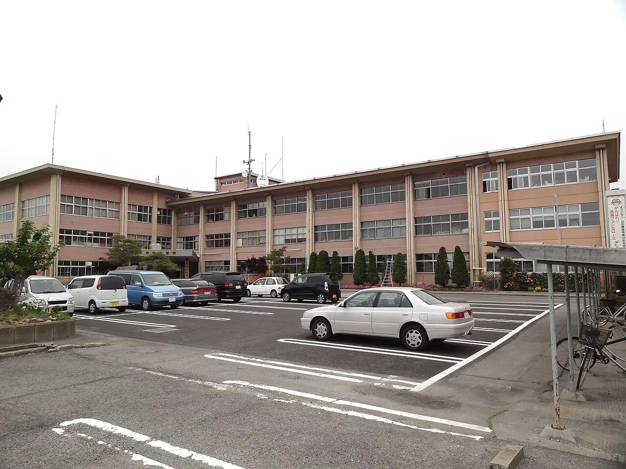
- Population
- 46,413
- 46.4K
- Elevation
- 357 m
- above sea level
- Local time
- UTC+09:00
- Asia/Tokyo · UTC+09:00
- Places inside
- 1
- listed under Nakano Shi
- Airports
- MMJ Shinshu-Matsumoto Airport77 km
- TOY Toyama Kitokito Airport104 km
About Nakano Shi
Nakano Shi is a district. Location: Nagano, Japan. Population: 46,413.
Nakano (中野市, Nakano-shi; Japanese pronunciation: [nä̀.kä́.nó̞(.ɕì)]) is a city located in Nagano Prefecture, Japan. As of 1 March 2019, the city had an estimated population of 42,664 in 15649 households, and a population density of 380 persons per km2. The total area of the city is 112.18 square kilometres (43.31 sq mi).
Source: Wikipedia · CC BY-SA 4.0
Places bordering Nakano Shi
- Iiyama
- Nagano
- Obuse
- Takayama Mura
- Yamanouchi Machi
- Kijimadaira Mura
- Iizuna Machi
Twin towns and sister cities of Nakano Shi
- Sendai· Japan
- Takedamachi· Japan
Source: Wikidata. Only places with a page on this site are shown.
Population of Nakano Shi over time
| 2010 | 45,638 | |
|---|---|---|
| 2015 | 43,909 | |
| 2021 | 41,972 |
Censuses and official estimates; source: Wikidata.
Climate of Nakano Shi
Best months for sightseeingBest months for sightseeing: May–June, September.
This month · November
Outside the best season
Day 14° · Night 4° · Rain 84 mm
Better nearby cities in November
- Kofu · 124 km south17°
- Fujinomiya · 174 km south18°
- Isehara · 175 km southeast18°
- Hottest month
- August (day 30°)
- Coldest month
- January (night -4°)
- Wettest month
- July (185 mm)
- Driest month
- December (76 mm)
Bars: average monthly low and high temperature. Below: precipitation. Monthly averages for 1970–2000 at about 18 km resolution, adjusted for elevation. Highlighted months are mild and relatively dry. Source: WorldClim 2.1 (CC BY 4.0).
Show values as a table
| Month | Jan | Feb | Mar | Apr | May | Jun | Jul | Aug | Sep | Oct | Nov | Dec |
|---|---|---|---|---|---|---|---|---|---|---|---|---|
| Average high (°C) | 4° | 5° | 9° | 17° | 22° | 25° | 29° | 30° | 25° | 19° | 14° | 8° |
| Average low (°C) | -4° | -4° | -1° | 5° | 11° | 16° | 20° | 21° | 17° | 10° | 4° | -1° |
| Precipitation (mm) | 87 | 80 | 85 | 92 | 105 | 164 | 185 | 162 | 185 | 121 | 84 | 76 |
How to get to Nakano Shi
The nearest airport is Shinshu-Matsumoto Airport (MMJ), 77 km to the southwest as the crow flies. The nearest large city is Nagano, 20 km to the southwest.
Airports
- Shinshu-Matsumoto Airport (MMJ) Matsumoto 77 kmsouthwest
- Toyama Kitokito Airport (TOY) Toyama 104 kmwest
- Noto Satoyama Airport (NTQ) Wajima 136 kmnorthwest
Nearby large cities
- Nagano Population: 372.8K 20 kmsouthwest
- Ueda Population: 157.5K 41 kmsouth
- Jōetsu Population: 189.4K 43 kmnorth
- Matsumoto Population: 241.1K 69 kmsouthwest
- Takasaki Population: 373K 77 kmsoutheast
Straight-line distances; road distances are longer. Airport data: OurAirports.
Places in Nakano Shi
1 place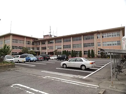
Nakano
Population: 42.7K
Nearby attractions & nature
Everything nearby-
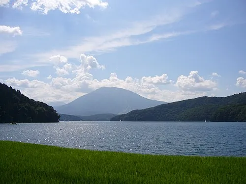 Lake Nojiri Lake, Nagano13 km NW
-
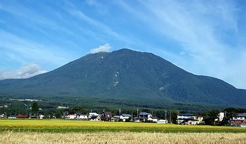 Mount Kurohime Mountain, Shinano Machi20 km W
-
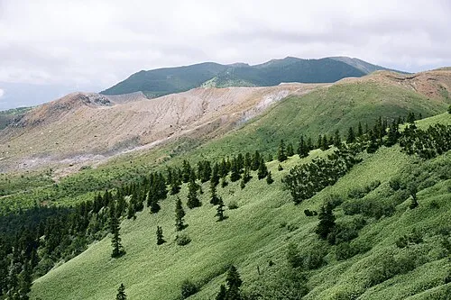 Mount Kusatsu-Shirane Mountain, Gunma21 km SE
-
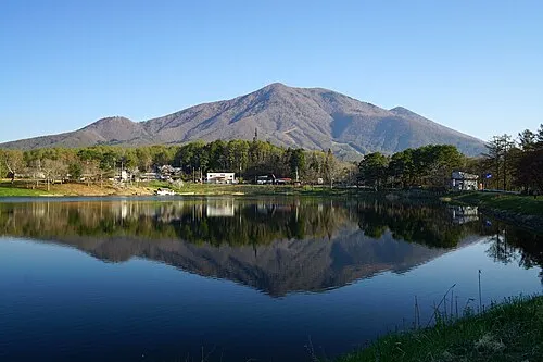 Mount Iizuna Mountain, Nagano Shi19 km W
-
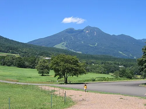 Mount Myōkō Mountain, Myoko-shi25 km NW
Sources & licences
Data last updated: · 2 independent sources