- Elevation
- 2,454 m
- above sea level
- Local time
- UTC+09:00
- Asia/Tokyo · UTC+09:00
- Airports
- MMJ Shinshu-Matsumoto Airport82 km
- TOY Toyama Kitokito Airport87 km
About Mount Myōkō
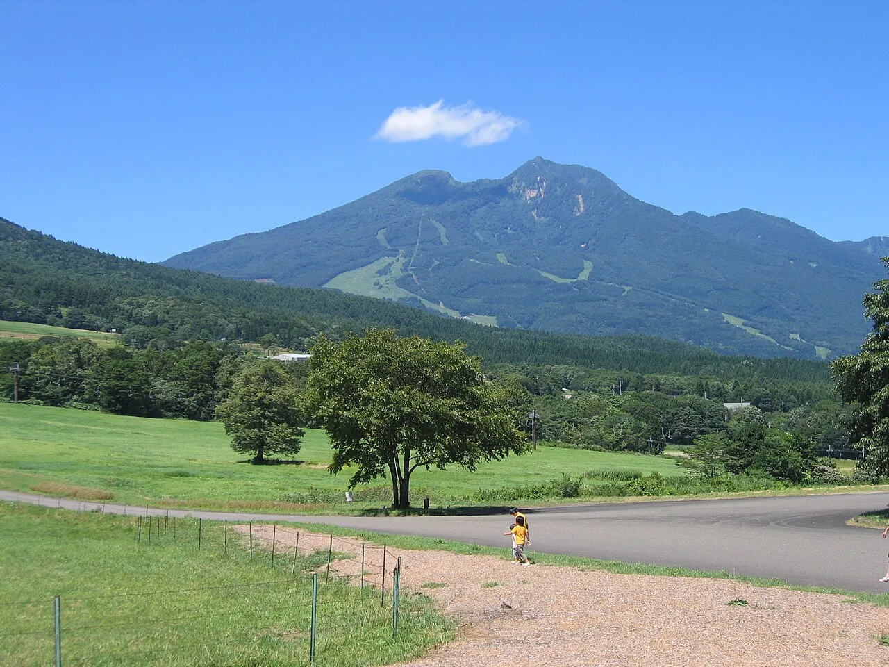
Mount Myōkō is a mountain. Location: Myoko-shi, Niigata. Elevation: 2,454 m.
Mount Myōkō (妙高山, Myōkō-san) is an active stratovolcano in Honshu, Japan. It is situated at the southwest of Myōkō city, Niigata Prefecture, and a part of Myōkō-Togakushi Renzan National Park. Mount Myōkō is listed as one of 100 Famous Japanese Mountains, and together with Mount Yahiko (弥彦山, Yahiko-yama), it is well known as the "famous mountain" of Niigata Prefecture.
Source: Wikipedia · CC BY-SA 4.0
Photos of Mount Myōkō
-

TANAKA Juuyoh · CC BY 2.0 -

dconvertini · CC BY-SA 2.0 -

Raita Futo from Tokyo, Japan · CC BY 2.0 -

TANAKA Juuyoh · CC BY 2.0 -

Koda6029 · CC BY-SA 4.0


Climate of Mount Myōkō
This month · November
A wet month
Day 0° · Night -9° · Rain 105 mm
Better nearby cities in November
- Kofu · 142 km south17°
- Fujinomiya · 192 km south18°
- Isehara · 198 km southeast18°
- Hottest month
- August (day 17°)
- Coldest month
- January (night -18°)
- Wettest month
- September (222 mm)
- Driest month
- February (85 mm)
Bars: average monthly low and high temperature. Below: precipitation. Monthly averages for 1970–2000 at about 18 km resolution, adjusted for elevation. Highlighted months are mild and relatively dry. Source: WorldClim 2.1 (CC BY 4.0).
Show values as a table
| Month | Jan | Feb | Mar | Apr | May | Jun | Jul | Aug | Sep | Oct | Nov | Dec |
|---|---|---|---|---|---|---|---|---|---|---|---|---|
| Average high (°C) | -10° | -9° | -6° | 2° | 7° | 11° | 15° | 17° | 12° | 6° | 0° | -6° |
| Average low (°C) | -18° | -18° | -15° | -8° | -3° | 2° | 7° | 8° | 4° | -3° | -9° | -14° |
| Precipitation (mm) | 94 | 85 | 97 | 114 | 130 | 193 | 221 | 202 | 222 | 138 | 105 | 89 |
How to get to Mount Myōkō
The nearest airport is Shinshu-Matsumoto Airport (MMJ), 82 km to the south as the crow flies. The nearest large city is Nagano, 28 km to the south.
Airports
- Shinshu-Matsumoto Airport (MMJ) Matsumoto 82 kmsouth
- Toyama Kitokito Airport (TOY) Toyama 87 kmwest
- Noto Satoyama Airport (NTQ) Wajima 112 kmnorthwest
Nearby large cities
- Nagano Population: 372.8K 28 kmsouth
- Jōetsu Population: 189.4K 31 kmnorth
- Ueda Population: 157.5K 56 kmsouth
- Matsumoto Population: 241.1K 74 kmsouth
- Toyama Population: 415.8K 83 kmwest
Straight-line distances; road distances are longer. Airport data: OurAirports.
Day trips from Mount Myōkō
Within 100 km: 2 historic and cultural sites, 43 natural sites, 16 lakes, rivers and coasts.
0–25 km6 places
- Lake Nojiri Lake 12 kmSE
- Mount Kurohime Mountain 9 kmS
- Mount Amakazari Mountain 14 kmW
- Mount Iizuna Mountain 17 kmS
25–60 km14 places
- Mount Kusatsu-Shirane Mountain 46 kmSE
- Mount Oizuru Mountain 45 kmW
- Mount Shirouma Mountain 35 kmSW
- Lake Kizaki Lake 44 kmSW
60–100 km41 places
- Honshu Island 99 kmS
- Mount Hotaka Mountain 91 kmE
- Takama Yama Mountain 62 kmSE
- Mitsuke Jima Island 95 kmNW
Straight-line distances.
Nearest towns and villages
-
Shinano Machi Municipality, Kamiminochi-gun11 km SE
-
Arai Town, Myoko-shi16 km NE
-
Myoko City, Myoko-shi19 km NE
-
Iizuna Machi Municipality, Kamiminochi-gun19 km SE
-
Otari Mura Municipality, Kitaazumi Gun19 km SW
-
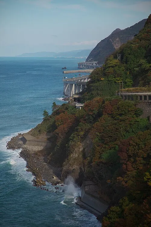 Itoigawa City, Itoigawa Shi28 km NW
Nearby attractions & nature
Everything nearby-
 Mount Hiuchi Mountain, Myoko-shi5.3 km NW
-
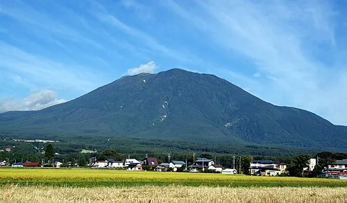 Mount Kurohime Mountain, Shinano Machi8.5 km S
-
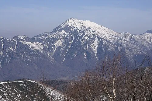 Takatsuma Yama Mountain, Myoko-shi12 km SW
-
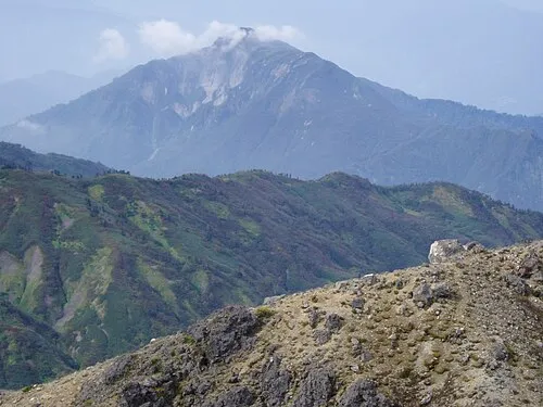 Mount Amakazari Mountain, Itoigawa Shi14 km W
-
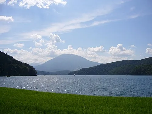 Lake Nojiri Lake, Nagano12 km SE
-
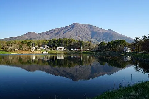 Mount Iizuna Mountain, Nagano Shi17 km S
Sources & licences
Data last updated: · 2 independent sources