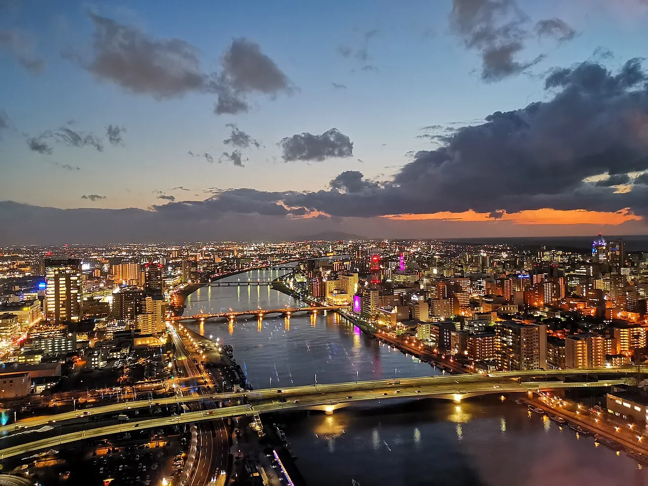
- Population
- 2,131,009
- 2.1M
- Elevation
- 21 m
- above sea level
- Local time
- UTC+09:00
- Asia/Tokyo · UTC+09:00
- Places inside
- 31
- listed under Niigata
- Airports
- KIJ Niigata Airport51 km
- SDS Sado Airport74 km
About Niigata
Niigata is a region. Location: Japan. Population: 2,131,009.
Niigata Prefecture (新潟県, Niigata-ken; Japanese pronunciation: [ɲ̟ìí.ɡä́.tä́(.kè̞ɴ̀), -ŋä́-, ɲ̟íí-]) is a prefecture in the Chūbu region of Honshu of Japan. Niigata Prefecture has a population of 2,071,066 (as of 1 October 2025) and is the fifth-largest prefecture of Japan by geographic area at 12,584.18 km2 (4,858.78 sq mi). Niigata Prefecture borders Toyama Prefecture and Nagano Prefecture to the southwest, Gunma Prefecture to the south, Fukushima Prefecture to the east, and Yamagata Prefecture to the northeast.
Read more on Wikipedia Text: Wikipedia contributors · CC BY-SA 4.0 · shortened
Places bordering Niigata
Climate of Niigata
Best months for sightseeingBest months for sightseeing: May–June, September–October.
Bars: average monthly low and high temperature. Below: precipitation. Monthly averages for 1970–2000 at about 18 km resolution, adjusted for elevation. Highlighted months are mild and relatively dry. Source: WorldClim 2.1 (CC BY 4.0).
Show values as a table
| Month | Jan | Feb | Mar | Apr | May | Jun | Jul | Aug | Sep | Oct | Nov | Dec |
|---|---|---|---|---|---|---|---|---|---|---|---|---|
| Average high (°C) | 4° | 4° | 8° | 15° | 21° | 24° | 28° | 30° | 25° | 20° | 14° | 8° |
| Average low (°C) | -2° | -2° | 0° | 5° | 11° | 17° | 21° | 22° | 18° | 11° | 5° | 1° |
| Precipitation (mm) | 292 | 198 | 137 | 112 | 104 | 133 | 181 | 132 | 183 | 182 | 240 | 340 |
Other places to visit in this season: May June September October
Airports nearest to Niigata
- Niigata Airport (KIJ) Niigata 51 km
- Sado Airport (SDS) Sado 74 km
- Fukushima Airport (FKS) Sukagawa 138 km
Straight-line distance; airports with scheduled flights only. Source: OurAirports (public domain).
Places in Niigata
31 places- 1 Niigata Shi 811.9K
- 2 Nagaoka Shi 280.9K
- 3 Jōetsu Shi 201.8K
- 4 Sanjō Shi 102.5K
- 5 Shibata Shi 101.6K
- 6 Kashiwazaki Shi 89.1K
- 7 Tsubame Shi 82.6K
- 8 Murakami Shi 65.5K
- 9 Sado 60.8K
- 10 Minamiuonuma 60.2K
- 11 Tōkamachi-shi 58K
- 12 Gosen Shi 54.2K
- 13 Itoigawa Shi 46.5K
- 14 Agano 45.3K
- 15 Mitsuke Shi 42K
- 16 Uonuma 39.6K
- 17 Ojiya-shi 38.1K
- 18 Myoko-shi 35.1K
- 19 Tainai Shi 31.1K
- 20 Kamo Shi 29.6K
Bar: population relative to the most populous place in this list.
-
Higashikambara-gun District
-
Iwafune-gun District
-
Kamo Ko Lake
-
Kariwa-gun District
-
Kitakambara-gun District
-
Minamikanbara-gun District
-
Minamiōnuma-gun District
-
Nakaōnuma-gun District
-
Nishikanbara District District
-
Santō-gun District
-
Uono River River
Largest cities and towns
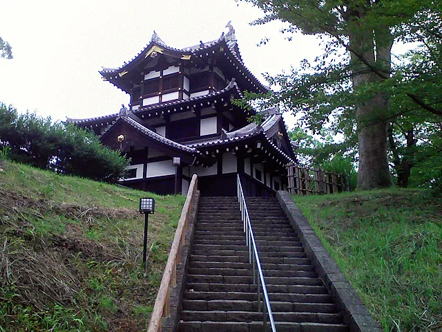
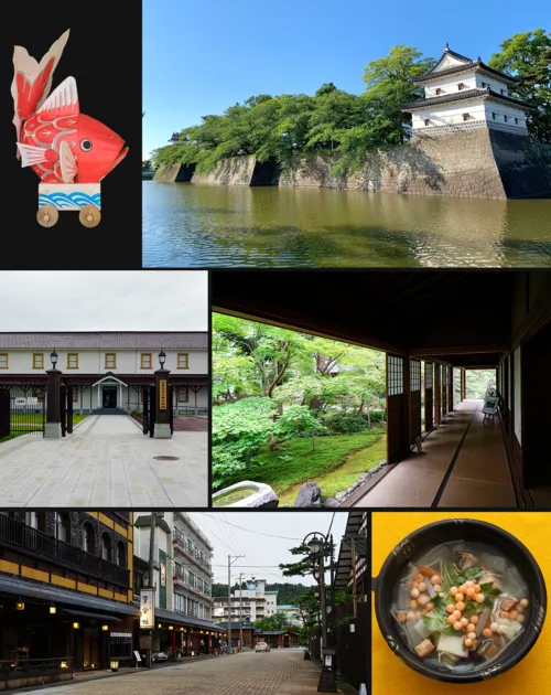
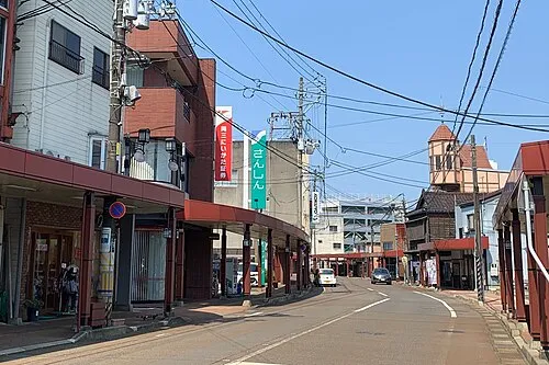
Nature and heritage in Niigata

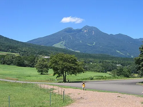
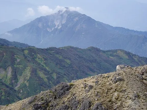
Sources & licences
Data last updated: · 2 independent sources