Minamiuonuma
Local name: 南魚沼市
Located in Niigata, Japan Coordinates: 37°03′21″ N 138°56′14″ E
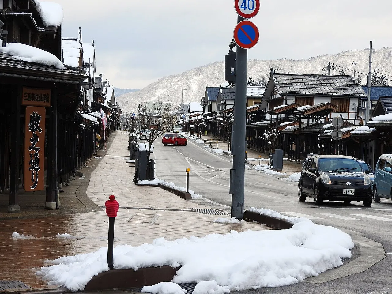
- Population
- 60,206
- 60.2K
- Elevation
- 221 m
- above sea level
- Local time
- UTC+09:00
- Asia/Tokyo · UTC+09:00
- Places inside
- 4
- listed under Minamiuonuma
- Airports
- KIJ Niigata Airport101 km
- SDS Sado Airport121 km
About Minamiuonuma
Minamiuonuma is a district. Location: Niigata, Japan. Population: 60,206.
Minamiuonuma (南魚沼市, Minamiuonuma-shi) is a city located in Niigata Prefecture, Japan. As of 1 December 2020, the city had an estimated population of 55,354 with 20,047 households, and a population density of 96.1 persons per km2. Its total area was 584.55 square kilometres (225.70 sq mi).
Source: Wikipedia · CC BY-SA 4.0
Places bordering Minamiuonuma
- Uonuma
- Tōkamachi
- Yuzawa
- Minakami Machi
Twin towns and sister cities of Minamiuonuma
- Yonezawa· Japan
Source: Wikidata. Only places with a page on this site are shown.
Population of Minamiuonuma over time
| 2010 | 61,624 | |
|---|---|---|
| 2015 | 58,568 | |
| 2021 | 54,820 |
Censuses and official estimates; source: Wikidata.
Climate of Minamiuonuma
Best months for sightseeingBest months for sightseeing: May–June, September–October.
This month · November
A wet month
Day 13° · Night 4° · Rain 152 mm
Better nearby cities in November
- Kofu · 158 km south17°
- Isehara · 187 km south18°
- Odawara · 201 km south19°
- Hottest month
- August (day 29°)
- Coldest month
- January (night -5°)
- Wettest month
- January (215 mm)
- Driest month
- May (107 mm)
Bars: average monthly low and high temperature. Below: precipitation. Monthly averages for 1970–2000 at about 18 km resolution, adjusted for elevation. Highlighted months are mild and relatively dry. Source: WorldClim 2.1 (CC BY 4.0).
Show values as a table
| Month | Jan | Feb | Mar | Apr | May | Jun | Jul | Aug | Sep | Oct | Nov | Dec |
|---|---|---|---|---|---|---|---|---|---|---|---|---|
| Average high (°C) | 3° | 3° | 6° | 15° | 21° | 24° | 28° | 29° | 25° | 19° | 13° | 7° |
| Average low (°C) | -5° | -5° | -2° | 4° | 10° | 16° | 20° | 21° | 17° | 10° | 4° | -1° |
| Precipitation (mm) | 215 | 159 | 119 | 109 | 107 | 154 | 195 | 165 | 195 | 158 | 152 | 209 |
Other places to visit in this season: May June September October
How to get to Minamiuonuma
The nearest airport is Niigata Airport (KIJ), 101 km to the north as the crow flies. The nearest large city is Nagaoka, 44 km to the north.
Airports
- Niigata Airport (KIJ) Niigata 101 kmnorth
- Sado Airport (SDS) Sado 121 kmnorth
- Shinshu-Matsumoto Airport (MMJ) Matsumoto 134 kmsouthwest
Nearby large cities
- Nagaoka Population: 266.9K 44 kmnorth
- Jōetsu Population: 189.4K 63 kmwest
- Maebashi Population: 332.1K 74 kmsouth
- Takasaki Population: 373K 80 kmsouth
- Nagano Population: 372.8K 81 kmsouthwest
Straight-line distances; road distances are longer. Airport data: OurAirports.
Places in Minamiuonuma
4 placesMinamiuonuma
Population: 55.4K
Muikamachi
Population: 29.1K
Shiozawa
Population: 20.2K
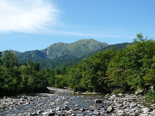
Nearby attractions & nature
Everything nearby-
Uono River River, Niigata25 km N
-
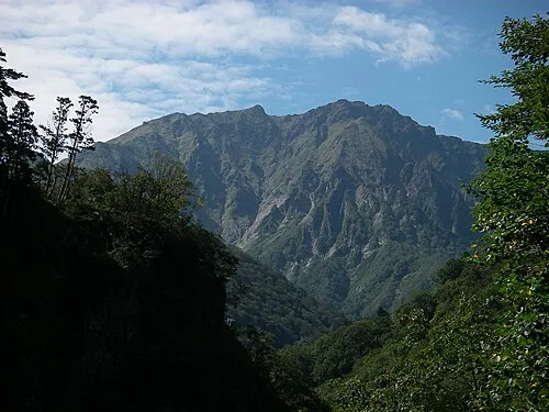 Tanigawa Dake Mountain, Minakami Machi24 km S
Sources & licences
Data last updated: · 2 independent sources