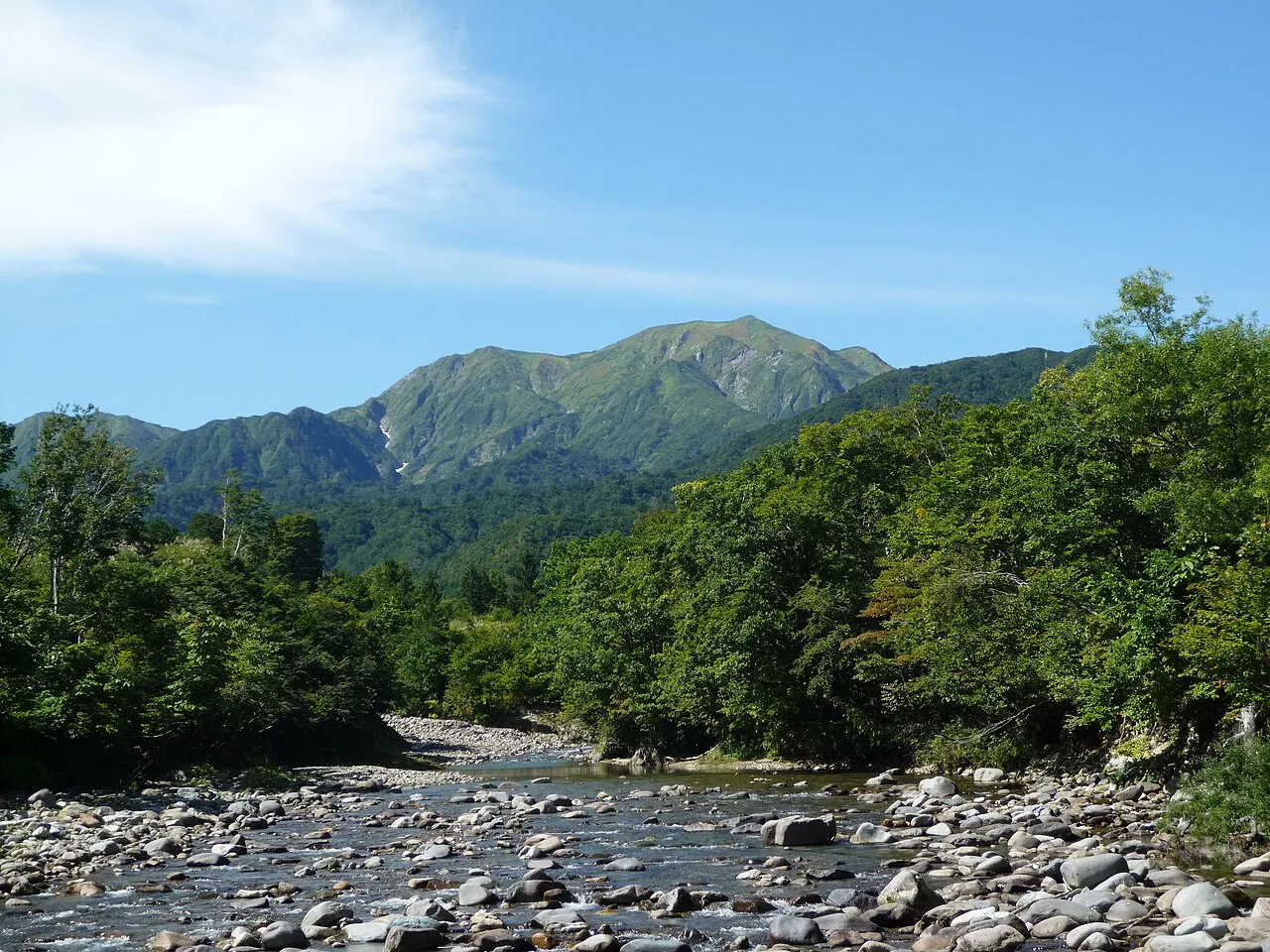
Mount Echigo-Komagatake
Located in Minamiuonuma, Niigata Coordinates: 37°07′22″ N 139°04′29″ E
- Elevation
- 2,003 m
- above sea level
- Local time
- UTC+09:00
- Asia/Tokyo · UTC+09:00
- Airports
- KIJ Niigata Airport92 km
- SDS Sado Airport119 km
About Mount Echigo-Komagatake
Mount Echigo-Komagatake is a mountain. Location: Minamiuonuma, Niigata. Elevation: 2,003 m.
Mount Echigo-Komagatake or Uonuma-Komagatake (越後駒ヶ岳 or 魚沼駒ヶ岳) is a mountain located on the border of Uonuma and Minamiuonuma, Niigata Prefecture, Japan, with an elevation of 2,002.7 m (6,571 ft). It is one of the 100 famous mountains in Japan. Mount Echigo-Komagatake, along with Nakanodake and Mount Hakkai, is also one of the three great mountains of Echigo, the old name for this area of Niigata Prefecture.
Source: Wikipedia · CC BY-SA 4.0
Photos of Mount Echigo-Komagatake
-

Raita Futo from Tokyo, Japan · CC BY 2.0 -

Raita Futo from Tokyo, Japan · CC BY 2.0 -

Kropsoq · CC BY-SA 3.0 -

Koichi Hayakawa · CC BY-SA 2.0


Climate of Mount Echigo-Komagatake
Best months for sightseeingBest months for sightseeing: August.
This month · November
A wet month
Day 3° · Night -6° · Rain 116 mm
Better nearby cities in November
- Kofu · 168 km south17°
- Isehara · 193 km south18°
- Odawara · 208 km south19°
- Hottest month
- August (day 19°)
- Coldest month
- January (night -16°)
- Wettest month
- August (258 mm)
- Driest month
- March (102 mm)
Bars: average monthly low and high temperature. Below: precipitation. Monthly averages for 1970–2000 at about 18 km resolution, adjusted for elevation. Highlighted months are mild and relatively dry. Source: WorldClim 2.1 (CC BY 4.0).
Show values as a table
| Month | Jan | Feb | Mar | Apr | May | Jun | Jul | Aug | Sep | Oct | Nov | Dec |
|---|---|---|---|---|---|---|---|---|---|---|---|---|
| Average high (°C) | -7° | -7° | -4° | 3° | 10° | 13° | 17° | 19° | 14° | 9° | 3° | -4° |
| Average low (°C) | -16° | -16° | -13° | -6° | -1° | 5° | 9° | 11° | 7° | 0° | -6° | -12° |
| Precipitation (mm) | 113 | 103 | 102 | 125 | 137 | 193 | 229 | 258 | 245 | 158 | 116 | 103 |
Other places to visit in this season: August
How to get to Mount Echigo-Komagatake
The nearest airport is Niigata Airport (KIJ), 92 km to the north as the crow flies. The nearest large city is Nagaoka, 41 km to the northwest.
Airports
- Niigata Airport (KIJ) Niigata 92 kmnorth
- Sado Airport (SDS) Sado 119 kmnorthwest
- Fukushima Airport (FKS) Sukagawa 121 kmeast
Nearby large cities
- Nagaoka Population: 266.9K 41 kmnorthwest
- Jōetsu Population: 189.4K 75 kmwest
- Maebashi Population: 332.1K 80 kmsouth
- Kiryū Population: 109K 83 kmsouth
- Aizu-Wakamatsu Population: 118.2K 87 kmnortheast
Straight-line distances; road distances are longer. Airport data: OurAirports.
Day trips from Mount Echigo-Komagatake
Within 100 km: 2 historic and cultural sites, 25 natural sites, 12 lakes, rivers and coasts.
25–60 km11 places
- Hiuchiga Take Mountain 26 kmSE
- Tanigawa Dake Mountain 34 kmS
- Lake Chūzenji Lake 55 kmSE
- Mount Nikkō-Shirane Mountain 45 kmSE
60–100 km28 places
- Arakawa River River 74 kmW
- Takada castle Historic site 73 kmW
- Iide San Mountain 99 kmNE
- Mount Hiragatake Mountain 65 kmE
Straight-line distances.
Nearest towns and villages
-
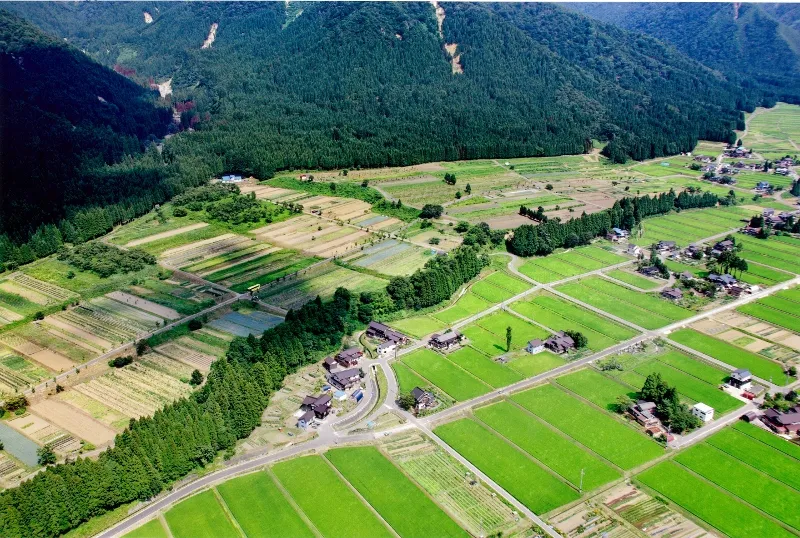 Uonuma City, Uonuma17 km NW
-
Muikamachi Town, Minamiuonuma18 km W
-
Minamiuonuma City, Minamiuonuma18 km W
-
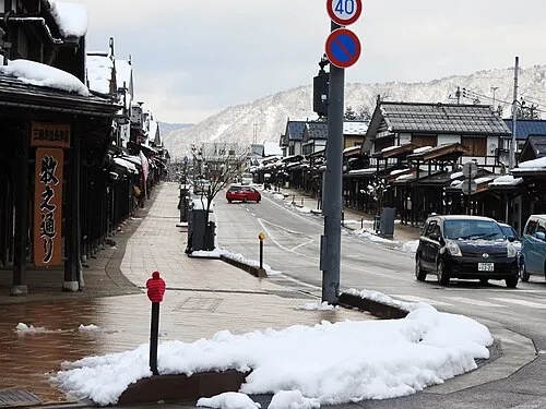 Shiozawa Town, Minamiuonuma22 km SW
-
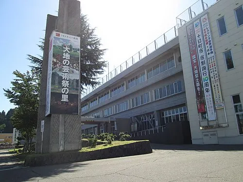 Tōkamachi City, Tōkamachi-shi27 km W
-
Kawaguchi-nakayama Village, Nagaoka Shi24 km NW
Sources & licences
Data last updated: · 2 independent sources