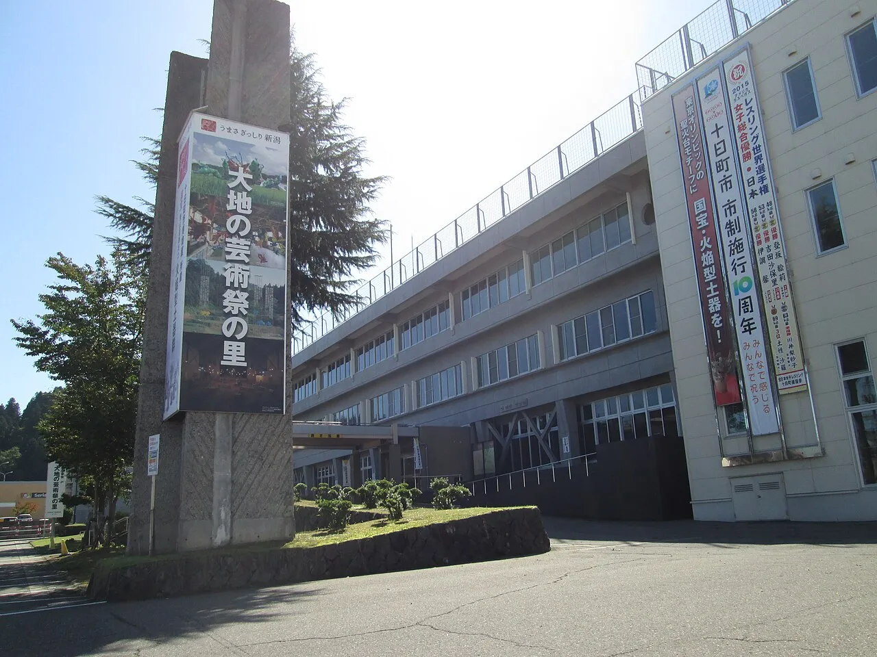
- Population
- 53,333
- 53.3K
- Elevation
- 154 m
- above sea level
- Local time
- UTC+09:00
- Asia/Tokyo · UTC+09:00
- Airports
- KIJ Niigata Airport96 km
- SDS Sado Airport107 km
About Tōkamachi
Tōkamachi is a city. Location: Tōkamachi-shi, Niigata. Population: 53,333. Elevation: 154 m.
Tōkamachi (十日町市, Tōkamachi-shi) is a city located in Niigata Prefecture, Japan. As of 1 July 2019, the city had an estimated population of 28,728 in 19,823 households, and a population density of 86.3 persons per km2. The total area of the city was 590.39 square kilometres (227.95 sq mi), although some borders of the city are not well defined. Tōkamachi derives its name from the fact that a market was held every tenth day of the month.
Source: Wikipedia · CC BY-SA 4.0
Photos of Tōkamachi
-

佐藤莞嬴 · CC BY-SA 4.0 -

Syced · CC0 -

pomuigo · CC BY-SA 3.0 -

pomuigo · CC BY-SA 3.0 -

Tail furry · CC BY-SA 4.0


Travel notes for Tōkamachi
From Wikivoyage
Tokamachi (十日町市) is a city in Niigata.
Understand+
Tourist Information Site:
My Trip Tokamachi is the town's official multilingual guide site.
Get in+
Tokamachi is accessible by train, bus, and car. The closest Shinkansen (bullet train) station is at Echigo-Yuzawa. About 2–3 hours from Tokyo (transfer at Echigo-Yuzawa), About 5–7 hours from Osaka (via Tokyo or via Kanazawa). The closest Expressway IC is at Muikamachi (Kan-Etsu expwy from Tokyo), Echigo-Kawaguchi (Kan-Etsu expwy from Nagaoka, Niigata), Toyoda-Iyama (Jo-shin-etsu expwy from Nagano, Matsumoto, Nagoya, Osaka) and Jo-etsu (Hokuriku expwy from Kanazawa).
Source: Wikivoyage · CC BY-SA 4.0 · abridged
Places bordering Tōkamachi
- Nagaoka Shi
- Jōetsu
- Kashiwazaki Shi
- Ojiya-shi
- Uonuma
- Minamiuonuma
- Tsunan Machi
- Yuzawa
- Sakae Mura
Population of Tōkamachi over time
| 2010 | 58,911 | |
|---|---|---|
| 2015 | 54,917 | |
| 2021 | 49,472 |
Censuses and official estimates; source: Wikidata.
Climate of Tōkamachi
Best months for sightseeingBest months for sightseeing: May–June, September.
This month · November
A wet month
Day 14° · Night 5° · Rain 162 mm
Better nearby cities in November
- Kofu · 164 km south17°
- Isehara · 199 km south18°
- Odawara · 212 km south19°
- Hottest month
- August (day 30°)
- Coldest month
- January (night -5°)
- Wettest month
- January (233 mm)
- Driest month
- May (104 mm)
Bars: average monthly low and high temperature. Below: precipitation. Monthly averages for 1970–2000 at about 18 km resolution, adjusted for elevation. Highlighted months are mild and relatively dry. Source: WorldClim 2.1 (CC BY 4.0).
Show values as a table
| Month | Jan | Feb | Mar | Apr | May | Jun | Jul | Aug | Sep | Oct | Nov | Dec |
|---|---|---|---|---|---|---|---|---|---|---|---|---|
| Average high (°C) | 4° | 4° | 7° | 15° | 21° | 24° | 28° | 30° | 25° | 19° | 14° | 7° |
| Average low (°C) | -5° | -4° | -2° | 5° | 11° | 16° | 20° | 22° | 17° | 11° | 5° | -1° |
| Precipitation (mm) | 233 | 168 | 122 | 105 | 104 | 150 | 194 | 156 | 192 | 160 | 162 | 227 |
How to get to Tōkamachi
The nearest airport is Niigata Airport (KIJ), 96 km to the north as the crow flies. The nearest large city is Nagaoka, 36 km to the north.
Airports
- Niigata Airport (KIJ) Niigata 96 kmnorth
- Sado Airport (SDS) Sado 107 kmnorth
- Shinshu-Matsumoto Airport (MMJ) Matsumoto 131 kmsouthwest
Nearby large cities
- Nagaoka Population: 266.9K 36 kmnorth
- Jōetsu Population: 189.4K 47 kmwest
- Nagano Population: 372.8K 75 kmsouthwest
- Maebashi Population: 332.1K 86 kmsouth
- Takasaki Population: 373K 92 kmsouth
Straight-line distances; road distances are longer. Airport data: OurAirports.
Day trips from Tōkamachi
Within 100 km: 1 historic or cultural site, 28 natural sites, 9 lakes, rivers and coasts.
0–25 km1 place
- Uono River River 17 kmNE
25–60 km11 places
- Mount Hotaka Mountain 49 kmSE
- Mount Kusatsu-Shirane Mountain 58 kmS
- Mount Shibutsu Mountain 44 kmSE
- Mount Aizu-Komagatake Mountain 53 kmE
60–100 km26 places
- Umeda Ko Lake 93 kmSE
- Takama Yama Mountain 62 kmS
- Mount Myōgi Mountain 94 kmS
- Mount Myōkō Mountain 64 kmSW
Straight-line distances.
Tōkamachi and similar cities
Side by side with cities of similar size in the same country: population, elevation and climate.
| Measure | Tōkamachi | Nihommatsu | Goshogawara | Miyoshi |
|---|---|---|---|---|
| Population | 53.3K | 53.6K | 53.6K | 53.6K |
| Elevation | 154 m | 224 m | 9 m | 154 m |
| Summer day (hottest month) | 30° | 28° | 27° | 31° |
| Winter night (coldest month) | -5° | -3° | -5° | 0° |
| Annual rainfall | 1,973 mm | 1,176 mm | 1,329 mm | 1,624 mm |
| Best months | May–Jun, Sep | May–Jun, Sep | May–Jul, Sep | May–Jun, Oct |
| Distance | — | 156 km | 433 km | 593 km |
Climate values are 1970–2000 monthly averages; straight-line distance.
Sources & licences
Data last updated: · 2 independent sources