- Population
- 189,430
- 189.4K
- Elevation
- 10 m
- above sea level
- Local time
- UTC+09:00
- Asia/Tokyo · UTC+09:00
- Airports
- SDS Sado Airport102 km
- TOY Toyama Kitokito Airport109 km
About Jōetsu
Jōetsu is a city. Location: Jōetsu Shi, Niigata. Population: 189,430. Elevation: 10 m.
Jōetsu (上越市, Jōetsu-shi) is a city located in Niigata Prefecture, Japan. As of 1 December 2020, the city had an estimated population of 189,430, in 76,461 households with a population density of 190 persons per km2. The total area of the city was 973.81 square kilometres (375.99 sq mi). Jōetsu borders the Sea of Japan and is renowned for its abundance of snow, the annual cherry-blossom festival, sake and Koshihikari rice.
Read more on Wikipedia Text: Wikipedia contributors · CC BY-SA 4.0 · shortened
Places bordering Jōetsu
- Kashiwazaki Shi
- Tōkamachi
- Itoigawa
- Myoko-shi
- Sado
- Iiyama
- Sakae Mura
Twin towns and sister cities of Jōetsu
- Muroran· Japan
- Toyota· Japan
- Yonezawa· Japan
- Shizuoka· Japan
Source: Wikidata. Only places with a page on this site are shown.
Population of Jōetsu over time
| 2010 | 203,899 | |
|---|---|---|
| 2015 | 196,987 | |
| 2021 | 187,291 |
Censuses and official estimates; source: Wikidata.
Climate of Jōetsu
Best months for sightseeingBest months for sightseeing: May–June, October.
Bars: average monthly low and high temperature. Below: precipitation. Monthly averages for 1970–2000 at about 18 km resolution, adjusted for elevation. Highlighted months are mild and relatively dry. Source: WorldClim 2.1 (CC BY 4.0).
Show values as a table
| Month | Jan | Feb | Mar | Apr | May | Jun | Jul | Aug | Sep | Oct | Nov | Dec |
|---|---|---|---|---|---|---|---|---|---|---|---|---|
| Average high (°C) | 6° | 6° | 9° | 17° | 22° | 25° | 29° | 31° | 26° | 21° | 15° | 9° |
| Average low (°C) | -1° | -2° | 1° | 6° | 11° | 17° | 21° | 22° | 18° | 11° | 6° | 1° |
| Precipitation (mm) | 319 | 205 | 148 | 93 | 97 | 145 | 195 | 154 | 206 | 182 | 241 | 320 |
Airports nearest to Jōetsu
- Sado Airport (SDS) Sado 102 km
- Toyama Kitokito Airport (TOY) Toyama 109 km
- Shinshu-Matsumoto Airport (MMJ) Matsumoto 112 km
Straight-line distance; airports with scheduled flights only. Source: OurAirports (public domain).
Nearby attractions & nature
Everything nearby-
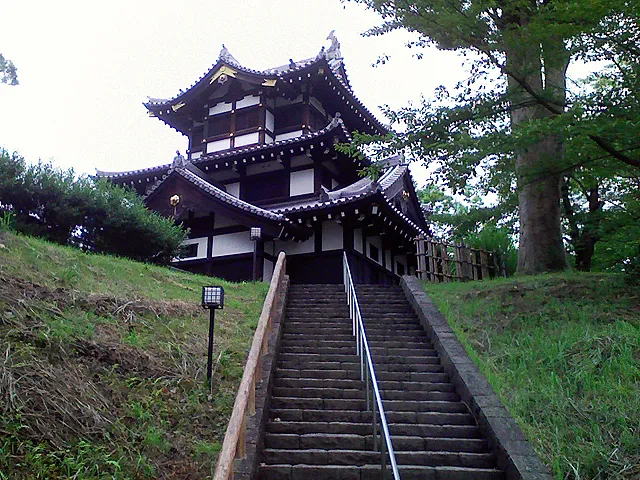
Takada castle Historic site, Jōetsu Shi4.6 km S
-
Arakawa River River, Japan4.1 km N
Sources & licences
Data last updated: · 2 independent sources