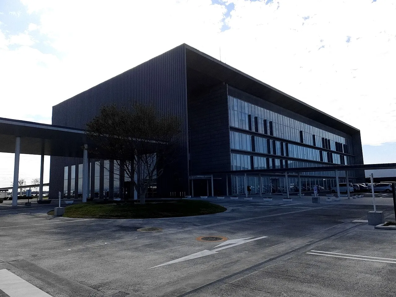
- Population
- 77,382
- 77.4K
- Elevation
- 8 m
- above sea level
- Local time
- UTC+09:00
- Asia/Tokyo · UTC+09:00
- Airports
- KIJ Niigata Airport36 km
- SDS Sado Airport63 km
About Tsubame
Tsubame is a city. Location: Tsubame Shi, Niigata. Population: 77,382. Elevation: 8 m.
Tsubame (燕市, Tsubame-shi) is a city located in Niigata Prefecture, Japan. As of 1 July 2019, the city had an estimated population of 77,382 in 29,406 households, and a population density of 697 persons per km². The total area of the city was 110.96 km2 (42.84 sq mi).
Source: Wikipedia · CC BY-SA 4.0
Photos of Tsubame
-

yagi-s · CC BY 2.0 -

雷太 · CC BY 2.0 -

先従隗始 · CC0 -

Tail furry · CC BY-SA 4.0 -

くろふね · CC BY-SA 4.0


Places bordering Tsubame
- Niigata Shi
- Nagaoka Shi
- Sanjō
- Yahiko
Population of Tsubame over time
| 2010 | 81,876 | |
|---|---|---|
| 2015 | 79,784 | |
| 2021 | 76,590 |
Censuses and official estimates; source: Wikidata.
Climate of Tsubame
Best months for sightseeingBest months for sightseeing: May–June, September–October.
This month · November
A wet month
Day 14° · Night 5° · Rain 240 mm
Better nearby cities in November
- Kofu · 224 km south17°
- Isehara · 254 km south18°
- Odawara · 269 km south19°
- Hottest month
- August (day 30°)
- Coldest month
- February (night -2°)
- Wettest month
- December (340 mm)
- Driest month
- May (104 mm)
Bars: average monthly low and high temperature. Below: precipitation. Monthly averages for 1970–2000 at about 18 km resolution, adjusted for elevation. Highlighted months are mild and relatively dry. Source: WorldClim 2.1 (CC BY 4.0).
Show values as a table
| Month | Jan | Feb | Mar | Apr | May | Jun | Jul | Aug | Sep | Oct | Nov | Dec |
|---|---|---|---|---|---|---|---|---|---|---|---|---|
| Average high (°C) | 4° | 4° | 8° | 15° | 21° | 24° | 28° | 30° | 25° | 20° | 14° | 8° |
| Average low (°C) | -2° | -2° | 0° | 5° | 11° | 17° | 21° | 22° | 18° | 11° | 5° | 1° |
| Precipitation (mm) | 292 | 198 | 137 | 112 | 104 | 133 | 181 | 132 | 183 | 182 | 240 | 340 |
Other places to visit in this season: May June September October
How to get to Tsubame
The nearest airport is Niigata Airport (KIJ), 36 km to the northeast as the crow flies. The nearest large city is Nagaoka, 25 km to the south.
Airports
- Niigata Airport (KIJ) Niigata 36 kmnortheast
- Sado Airport (SDS) Sado 63 kmnorthwest
- Fukushima Airport (FKS) Sukagawa 142 kmeast
Nearby large cities
- Nagaoka Population: 266.9K 25 kmsouth
- Jōetsu Population: 189.4K 84 kmsouthwest
- Aizu-Wakamatsu Population: 118.2K 92 kmeast
- Nagano Population: 372.8K 130 kmsouthwest
- Kōriyama Population: 327.7K 132 kmeast
Straight-line distances; road distances are longer. Airport data: OurAirports.
Day trips from Tsubame
Within 100 km: 2 historic and cultural sites, 12 natural sites, 9 lakes, rivers and coasts.
25–60 km3 places
- Uono River River 44 kmS
- Shinano River River 34 kmN
- Agano River River 37 kmNE
60–100 km20 places
- Sado Island Island 61 kmNW
- Awashima Island Island 93 kmN
- Arakawa River River 80 kmSW
- Takada castle Historic site 85 kmSW
Straight-line distances.
Tsubame and similar cities
Side by side with cities of similar size in the same country: population, elevation and climate.
| Measure | Tsubame | Fukuchiyama | Kunitachi | Nikkō |
|---|---|---|---|---|
| Population | 77.4K | 77.3K | 77.1K | 77.7K |
| Elevation | 8 m | 20 m | 71 m | 555 m |
| Summer day (hottest month) | 30° | 32° | 30° | 28° |
| Winter night (coldest month) | -2° | 0° | -1° | -4° |
| Annual rainfall | 2,234 mm | 1,646 mm | 1,484 mm | 1,742 mm |
| Best months | May–Jun, Sep–Oct | May, Oct | Apr–Jun, Sep–Oct | May–Jul, Sep |
| Distance | — | 430 km | 225 km | 119 km |
Climate values are 1970–2000 monthly averages; straight-line distance.
Sources & licences
Data last updated: · 2 independent sources