Mount Kurohime
Located in Shinano Machi, Kamiminochi-gun Coordinates: 36°49′00″ N 138°08′00″ E
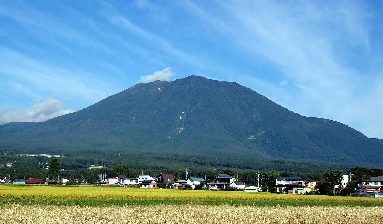
- Elevation
- 2,053 m
- above sea level
- Local time
- UTC+09:00
- Asia/Tokyo · UTC+09:00
- Airports
- MMJ Shinshu-Matsumoto Airport75 km
- TOY Toyama Kitokito Airport87 km
About Mount Kurohime
Mount Kurohime is a mountain. Location: Shinano Machi, Kamiminochi-gun. Elevation: 2,053 m.
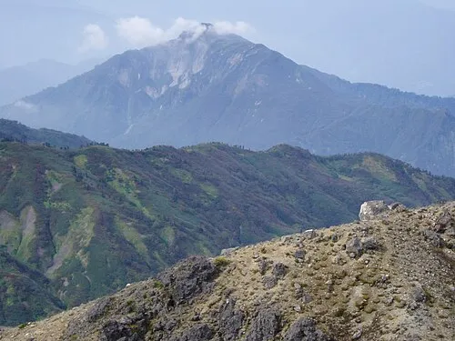
Mount Kurohime (Japanese: 黒姫山 Kurohime-yama) is a 2,053-metre (6,736 ft) stratovolcano located in Shinano town (信濃町), Nagano Prefecture, Japan. The mountain is one of the 200 most famous mountains in Japan (日本に百名山), and one of the 100 most famous mountains in Nagano (信州百名山).
Source: Wikipedia · CC BY-SA 4.0
Photos of Mount Kurohime
-

Koda6029 · CC BY-SA 4.0 -

663highland · CC BY-SA 4.0 -

Koda6029 · CC BY-SA 4.0 -

Naganojmmmm · CC BY-SA 4.0 -
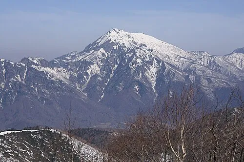
Takatsuma Yama Yama0904 · CC BY-SA 4.0


Climate of Mount Kurohime
Best months for sightseeingBest months for sightseeing: July–August.
This month · November
A cold month
Day 4° · Night -6° · Rain 87 mm
Better nearby cities in November
- Kofu · 134 km south17°
- Fujinomiya · 183 km south18°
- Isehara · 190 km southeast18°
- Hottest month
- August (day 20°)
- Coldest month
- January (night -15°)
- Wettest month
- September (208 mm)
- Driest month
- December (67 mm)
Bars: average monthly low and high temperature. Below: precipitation. Monthly averages for 1970–2000 at about 18 km resolution, adjusted for elevation. Highlighted months are mild and relatively dry. Source: WorldClim 2.1 (CC BY 4.0).
Show values as a table
| Month | Jan | Feb | Mar | Apr | May | Jun | Jul | Aug | Sep | Oct | Nov | Dec |
|---|---|---|---|---|---|---|---|---|---|---|---|---|
| Average high (°C) | -6° | -6° | -2° | 6° | 11° | 14° | 18° | 20° | 15° | 9° | 4° | -3° |
| Average low (°C) | -15° | -15° | -12° | -5° | 0° | 5° | 10° | 11° | 6° | -1° | -6° | -12° |
| Precipitation (mm) | 75 | 73 | 89 | 107 | 120 | 185 | 204 | 181 | 208 | 127 | 87 | 67 |
How to get to Mount Kurohime
The nearest airport is Shinshu-Matsumoto Airport (MMJ), 75 km to the south as the crow flies. The nearest large city is Nagano, 19 km to the south.
Airports
- Shinshu-Matsumoto Airport (MMJ) Matsumoto 75 kmsouth
- Toyama Kitokito Airport (TOY) Toyama 87 kmwest
- Noto Satoyama Airport (NTQ) Wajima 117 kmnorthwest
Nearby large cities
- Nagano Population: 372.8K 19 kmsouth
- Jōetsu Population: 189.4K 38 kmnorth
- Ueda Population: 157.5K 48 kmsouth
- Matsumoto Population: 241.1K 66 kmsouth
- Toyama Population: 415.8K 83 kmwest
Straight-line distances; road distances are longer. Airport data: OurAirports.
Day trips from Mount Kurohime
Within 100 km: 2 historic and cultural sites, 48 natural sites, 15 lakes, rivers and coasts.
0–25 km7 places
- Lake Nojiri Lake 8 kmE
- Mount Myōkō Mountain 9 kmN
- Mount Amakazari Mountain 18 kmNW
- Mount Iizuna Mountain 9 kmS
25–60 km17 places
- Lake Kizaki Lake 39 kmSW
- Mount Kamuriki Mountain 39 kmS
- Mount Tate Mountain 53 kmSW
- Naeba-san Mountain 50 kmE
60–100 km41 places
- Honshu Island 91 kmS
- Toyama-wan Natural site 86 kmW
- Sho River River 94 kmW
- Oyabe River River 95 kmW
Straight-line distances.
Nearest towns and villages
-
 Iizuna Machi Municipality, Kamiminochi-gun11 km SE
-
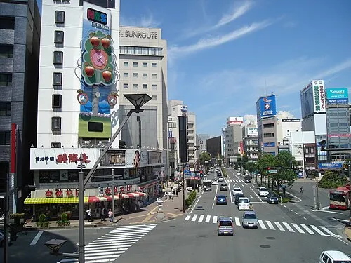 Nagano City, Nagano Shi19 km S
-
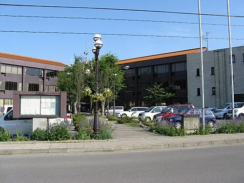 Obuse Town, Obuse Machi21 km SE
-
Arai Town, Myoko-shi22 km N
-
 Otari Mura Municipality, Kitaazumi Gun19 km W
-
 Iiyama City, Iiyama Shi21 km E
Nearby attractions & nature
Everything nearby-
Takatsuma Yama Mountain, Myoko-shi7.4 km W
-
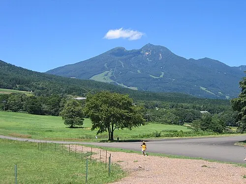 Mount Myōkō Mountain, Myoko-shi8.5 km N
-
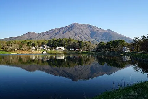 Mount Iizuna Mountain, Nagano Shi8.6 km S
-
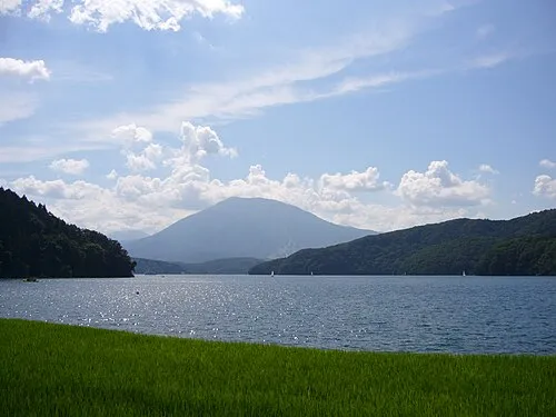 Lake Nojiri Lake, Nagano8 km E
-
 Mount Hiuchi Mountain, Myoko-shi13 km NW
-
 Mount Amakazari Mountain, Itoigawa Shi18 km NW
-
Higashi Yama Mountain, Nagano Shi24 km SW
Sources & licences
Data last updated: · 2 independent sources