Harpefoss
Located in Sør-Fron, Innlandet Coordinates: 61°34′41″ N 9°51′40″ E
- Population
- 454
- 454
- Elevation
- 320 m
- above sea level
- Local time
- UTC+01:00
- Europe/Oslo · UTC+01:00
About Harpefoss
Harpefoss is a village. Location: Sør-Fron, Innlandet. Population: 454. Elevation: 320 m.
Harpefoss is a village in Sør-Fron Municipality in Innlandet county, Norway. The village is located in the Gudbrandsdal valley on the north shore of the Gudbrandsdalslågen river, about 5 kilometres (3.1 mi) northwest of the village of Hundorp. The 0.52-square-kilometre (130-acre) village has a population (2024) of 314 and a population density of 604 inhabitants per square kilometre (1,560/sq mi). The Dovrebanen railway line runs through the village.
Read more on Wikipedia Text: Wikipedia contributors · CC BY-SA 4.0 · shortened
At a glance
- Area
- 52 ha
Source: Wikidata
In comparison
Nearby attractions & nature
Everything nearby-
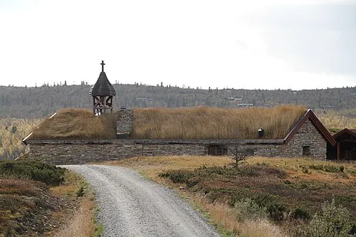 Venabygd fjellkapell Attraction, Ringebu15 km NE
-
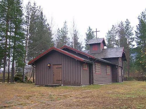 Sjoa kapell Attraction, Sel20 km NW
Sources & licences
Data last updated: · 2 independent sources