- Elevation
- 31 m
- above sea level
- Local time
- UTC+01:00
- Europe/Oslo · UTC+01:00
- Airports
- AES Ålesund Airport17 km
- HOV Ørsta-Volda Airport, Hovden35 km
About Spjelkavik
Spjelkavik is a village. Location: Ålesund, Møre og Romsdal. Elevation: 31 m.
Spjelkavik is a borough in the town of Ålesund in Ålesund Municipality, Møre og Romsdal county, Norway. It is also called "Vika" by many locals. Spjelkavik is located on the western end of the island of Uksenøya, at the intersection of the European route E39 and European route E136 highways, just west of the lake Brusdalsvatnet. The villages of Breivika, Myrland, and Løvika lie to the south of Spjelkavik. The population of Spjelkavik is approximately 11,000 inhabitants and is the second largest part of the city.
Source: Wikipedia · CC BY-SA 4.0
Climate of Spjelkavik
Best months for sightseeingBest months for sightseeing: July.
This month · November
A wet month
Day 6° · Night 2° · Rain 201 mm
- Hottest month
- July (day 17°)
- Coldest month
- February (night -1°)
- Wettest month
- December (226 mm)
- Driest month
- May (78 mm)
Bars: average monthly low and high temperature. Below: precipitation. Monthly averages for 1970–2000 at about 18 km resolution, adjusted for elevation. Highlighted months are mild and relatively dry. Source: WorldClim 2.1 (CC BY 4.0).
Show values as a table
| Month | Jan | Feb | Mar | Apr | May | Jun | Jul | Aug | Sep | Oct | Nov | Dec |
|---|---|---|---|---|---|---|---|---|---|---|---|---|
| Average high (°C) | 4° | 4° | 5° | 8° | 12° | 15° | 17° | 16° | 13° | 10° | 6° | 4° |
| Average low (°C) | -1° | -1° | 1° | 2° | 6° | 9° | 11° | 11° | 8° | 6° | 2° | 0° |
| Precipitation (mm) | 196 | 162 | 154 | 104 | 78 | 92 | 106 | 138 | 213 | 209 | 201 | 226 |
Other places to visit in this season: July
How to get to Spjelkavik
The nearest airport is Ålesund Airport (AES), 17 km to the northwest as the crow flies. The nearest large city is Trondheim, 231 km to the northeast.
Airports
- Ålesund Airport (AES) Ålesund 17 kmnorthwest
- Ørsta-Volda Airport, Hovden (HOV) Ørsta 35 kmsouthwest
- Molde Airport, Årø (MOL) Årø 56 kmnortheast
Nearby large cities
- Trondheim Population: 216.5K 231 kmnortheast
- Bergen Population: 294K 237 kmsouth
- Drammen Population: 106K 367 kmsoutheast
- Oslo Population: 1.1M 369 kmsoutheast
- Stavanger Population: 151.7K 390 kmsouth
Straight-line distances; road distances are longer. Airport data: OurAirports.
Nearby attractions & nature
Everything nearby-
 Color Line Stadion Landmark, Ålesund9.1 km W
-
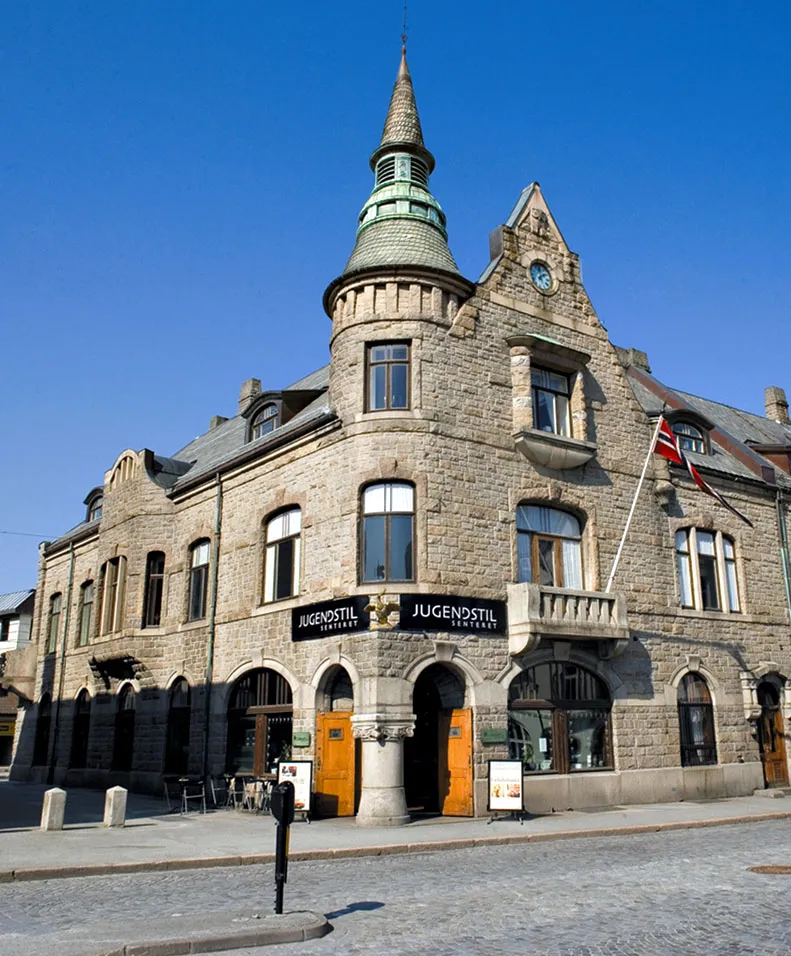 Jugendstilsenteret Museum, Ålesund11 km W
Sources & licences
Data last updated: · 2 independent sources