Gjemnessund Bridge
Located in Gjemnes, Møre og Romsdal Coordinates: 62°58′13″ N 7°46′40″ E
- Local time
- UTC+01:00
- Europe/Oslo · UTC+01:00
- Elevation
- 1 m
- above sea level
About Gjemnessund Bridge
Gjemnessund Bridge is a landmark. Location: Gjemnes, Møre og Romsdal.
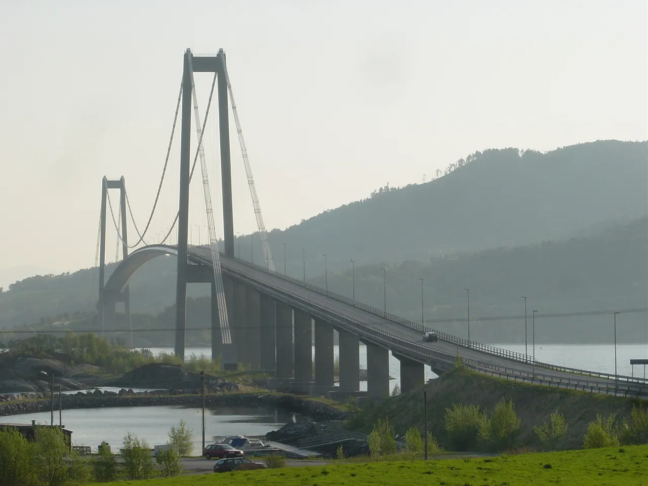
The Gjemnessund Bridge (Norwegian: Gjemnessundbrua) is a suspension bridge that crosses the Gjemnessundet strait between the mainland and the island of Bergsøya in Gjemnes Municipality in Møre og Romsdal county, Norway. The 1,257-metre-long (4,124 ft) bridge was the longest suspension bridge in Norway until the opening of the Hardanger Bridge in 2013, although it did not have the longest span (623 metres or 2,044 feet), being eclipsed by the Askøy Bridge.
Read more on Wikipedia Text: Wikipedia contributors · CC BY-SA 4.0 · shortened
At a glance
- Opened
- 1992
- Height
- 108 m
- Length
- 1.3 km
Source: Wikidata
Airports nearest to Gjemnessund Bridge
- Kristiansund Airport, Kvernberget (KSU) Kvernberget 16 km
- Molde Airport, Årø (MOL) Årø 36 km
- Ålesund Airport (AES) Ålesund 97 km
Straight-line distance; airports with scheduled flights only. Source: OurAirports (public domain).
Nearest towns and villages
-
Torvikbukt Village, Gjemnes5 km SE
-
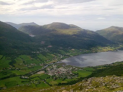 Batnfjordsøra City, Gjemnes10 km SW
-
Nedre Frei Village, Kristiansund6.2 km N
-
Kvalvåg Village, Kristiansund12 km NE
Sources & licences
Data last updated: · 2 independent sources