Olderdalen
Located in Kåfjord, Troms Coordinates: 69°36′15″ N 20°31′58″ E
- Population
- 322
- 322
- Elevation
- 29 m
- above sea level
- Local time
- UTC+01:00
- Europe/Oslo · UTC+01:00
About Olderdalen
Olderdalen is a city. Location: Kåfjord, Troms. Population: 322. Elevation: 29 m.
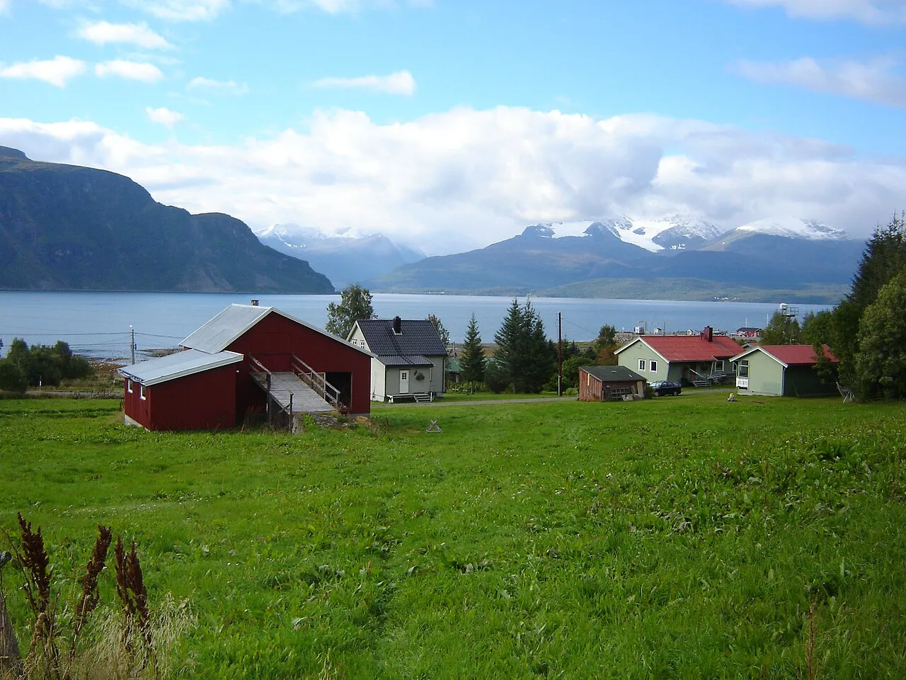
Olderdalen (Norwegian), Dálusvággi or Dálvvesvággi (Northern Sami), or Talosvankka (Kven) is the administrative centre of Kåfjord Municipality (also known as Gáivuotna Municipality and Kaivuono Municipality) in Troms county, Norway. Olderdalen is located in the Olderdalen valley along the Kåfjorden with a view of the Lyngen Alps. The village has a ferry connection to Lyngseidet, the administrative centre of Lyngen Municipality, across the fjord. The European route E6 highway passes through this village also.
Read more on Wikipedia Text: Wikipedia contributors · CC BY-SA 4.0 · shortened
At a glance
- Area
- 51 ha
Source: Wikidata
In comparison
Sources & licences
Data last updated: · 2 independent sources