Vangshylla
Located in Inderøy, Trøndelag Coordinates: 63°50′25″ N 11°05′30″ E
- Elevation
- 8 m
- above sea level
- Local time
- UTC+01:00
- Europe/Oslo · UTC+01:00
About Vangshylla
Vangshylla is a village. Location: Inderøy, Trøndelag. Elevation: 8 m.
Vangshylla is a village in Inderøy Municipality in Trøndelag county, Norway. It is located at the southwest end of the Inderøya peninsula in the Utøya area, surrounded on two sides by the Trondheimsfjord. The village sits at the southern end of the Skarnsundet strait. Until 1991, when the Skarnsund Bridge opened, Vangshylla served as a ferry and fishing port. Since 1964, it has been served by the Vangshylla–Kjerringvik Ferry.
Read more on Wikipedia Text: Wikipedia contributors · CC BY-SA 4.0 · shortened
In comparison
Nearby attractions & nature
Everything nearby-
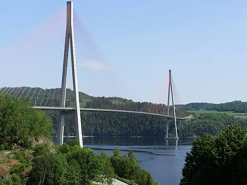 Skarnsund Bridge Landmark, Inderøy0.9 km W
-
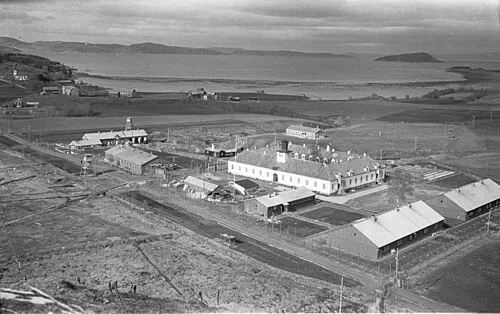 Police Custody Camp Falstad Historic site, Levanger22 km S
Sources & licences
Data last updated: · 2 independent sources