- Population
- 15,120
- 15.1K
- Elevation
- 20 m
- above sea level
- Local time
- UTC+01:00
- Europe/Oslo · UTC+01:00
- Airports
- BGO Bergen Airport, Flesland18 km
- SRP Stord Airport, Sørstokken44 km
About Osøyro
Osøyro is a city. Location: Bjørnafjorden, Vestland. Population: 15,120. Elevation: 20 m.
Osøyro is the administrative centre of Bjørnafjorden Municipality in Vestland county, Norway. The village lies on the southwestern part of the Bergen Peninsula, along the western shore of the Fusafjorden, about 25 kilometres (16 mi) south of the city centre of Bergen. The European route E39 highway runs through the village on its way to Bergen. There is a car ferry from the east side of Osøyro to the village of Fusa, across the Fusafjorden. Os Church is located in the village.
Source: Wikipedia · CC BY-SA 4.0
At a glance
- Area
- 8.8 km²
Source: Wikidata
Photos of Osøyro
-

Fana Stadion Alasdair McLellan · CC BY-SA 3.0

Population of Osøyro over time
| 2019 | 13,911 | |
|---|---|---|
| 2020 | 14,046 | |
| 2021 | 14,149 | |
| 2022 | 14,232 | |
| 2023 | 14,621 | |
| 2024 | 14,943 | |
| 2025 | 15,120 |
Censuses and official estimates; source: Wikidata.
Climate of Osøyro
Best months for sightseeingBest months for sightseeing: July.
This month · November
A wet month
Day 7° · Night 3° · Rain 262 mm
- Hottest month
- July (day 18°)
- Coldest month
- February (night -1°)
- Wettest month
- December (283 mm)
- Driest month
- May (108 mm)
Bars: average monthly low and high temperature. Below: precipitation. Monthly averages for 1970–2000 at about 18 km resolution, adjusted for elevation. Highlighted months are mild and relatively dry. Source: WorldClim 2.1 (CC BY 4.0).
Show values as a table
| Month | Jan | Feb | Mar | Apr | May | Jun | Jul | Aug | Sep | Oct | Nov | Dec |
|---|---|---|---|---|---|---|---|---|---|---|---|---|
| Average high (°C) | 4° | 4° | 6° | 9° | 14° | 17° | 18° | 18° | 14° | 11° | 7° | 5° |
| Average low (°C) | 0° | -1° | 1° | 3° | 7° | 9° | 11° | 11° | 9° | 6° | 3° | 1° |
| Precipitation (mm) | 227 | 191 | 190 | 120 | 108 | 130 | 151 | 194 | 272 | 271 | 262 | 283 |
Other places to visit in this season: July
How to get to Osøyro
The nearest airport is Bergen Airport, Flesland (BGO), 18 km to the northwest as the crow flies. The nearest large city is Bergen, 25 km to the north.
Airports
- Bergen Airport, Flesland (BGO) Bergen 18 kmnorthwest
- Stord Airport, Sørstokken (SRP) Leirvik 44 kmsouth
- Haugesund Airport, Karmøy (HAU) Karmøy 95 kmsouth
Nearby large cities
- Bergen Population: 294K 25 kmnorth
- Stavanger Population: 151.7K 136 kmsouth
- Drammen Population: 106K 269 kmeast
- Kristiansand Population: 117.2K 269 kmsoutheast
- Oslo Population: 1.1M 296 kmeast
Straight-line distances; road distances are longer. Airport data: OurAirports.
Day trips from Osøyro
Within 100 km: 8 historic and cultural sites.
0–25 km4 places
- Korskirken Attraction 25 kmN
- Police Custody Camp Ulven Historic site 21 kmN
- Fana Stadion Landmark 14 kmNW
- Puddefjord Bridge Landmark 24 kmN
25–60 km3 places
- Nykirken Attraction 25 kmN
- Askøy Bridge Landmark 27 kmNW
- Stord Bridge Landmark 49 kmS
60–100 km1 place
- Gulen Church Attraction 91 kmN
Straight-line distances.
Nearby attractions & nature
Everything nearby-
Fana Stadion Landmark, Bergen14 km NW
-
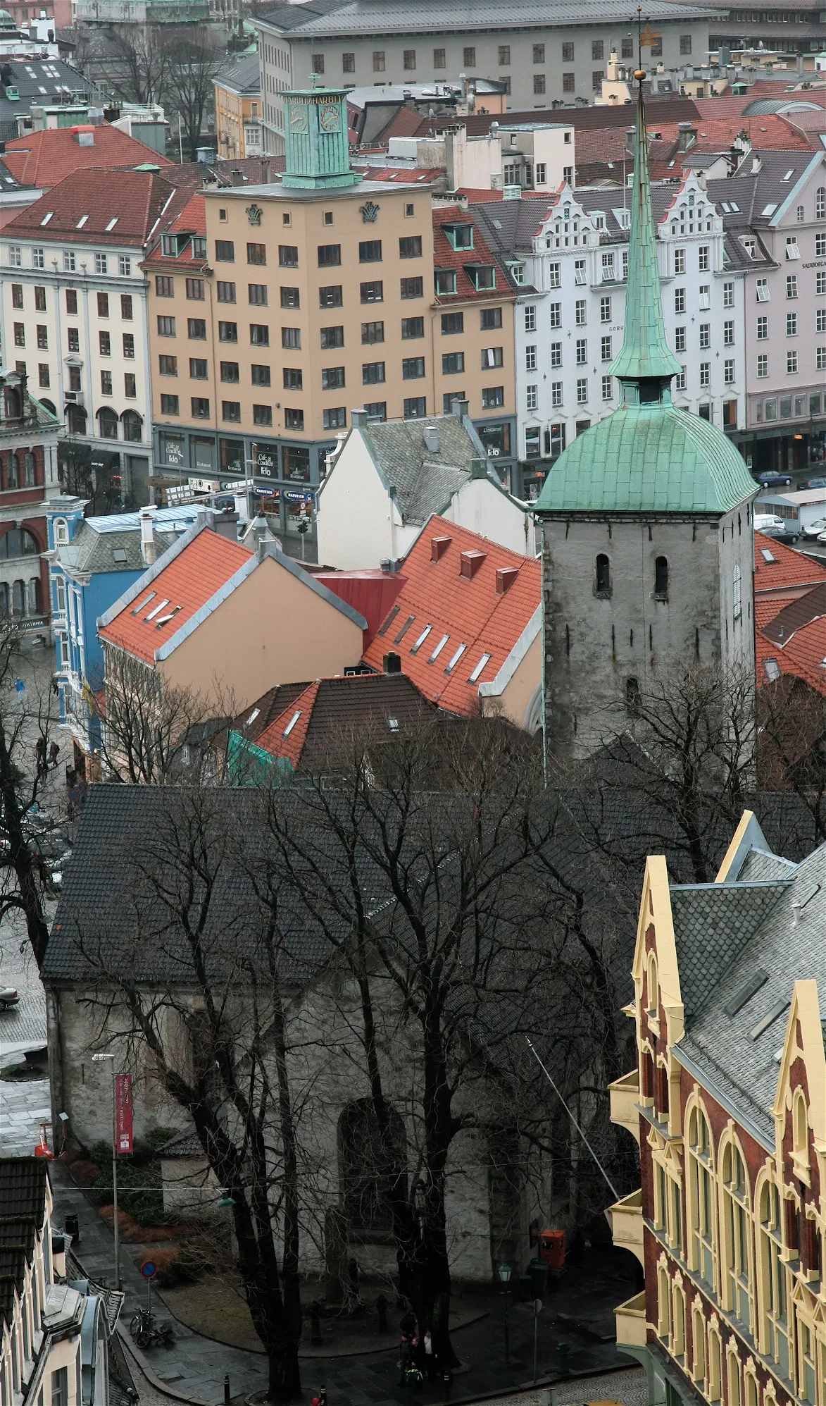 Korskirken Attraction, Bergen25 km N
-
 Puddefjord Bridge Landmark, Bergen24 km N
-
Police Custody Camp Ulven Historic site, Bergen21 km N
Sources & licences
Data last updated: · 2 independent sources