Jordanów
Located in Sucha County, Lesser Poland Voivodeship Coordinates: 49°38′56″ N 19°50′14″ E
- Population
- 5,362
- 5.4K
- Elevation
- 484 m
- above sea level
- Local time
- UTC+01:00
- Europe/Warsaw · UTC+01:00
- Places inside
- 1
- listed under Jordanów
About Jordanów
Jordanów is a municipality. Location: Sucha County, Lesser Poland Voivodeship. Population: 5,362. Elevation: 484 m.
In comparison
- No. 9 of 9 places in Sucha County by population
- Nearest larger town: Jordanów, 4 km NW
- 5 sights and natural places within 10 km Cupel, Drobny Wierch
Places in Jordanów
1 place-
Jordanów Town5.2K
Nearby attractions & nature
Everything nearby-
 Cupel Mountain, Gmina Bystra-Sidzina7.6 km W
-
Drobny Wierch Mountain, Jordanów8.3 km W
-
Judaszka Mountain, Gmina Maków Podhalański9 km W
-
Rabka Ghetto Historic site, Rabka-Zdrój8.9 km SE
-
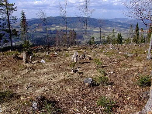 Zębalowa Mountain, Tokarnia9.5 km NE
-
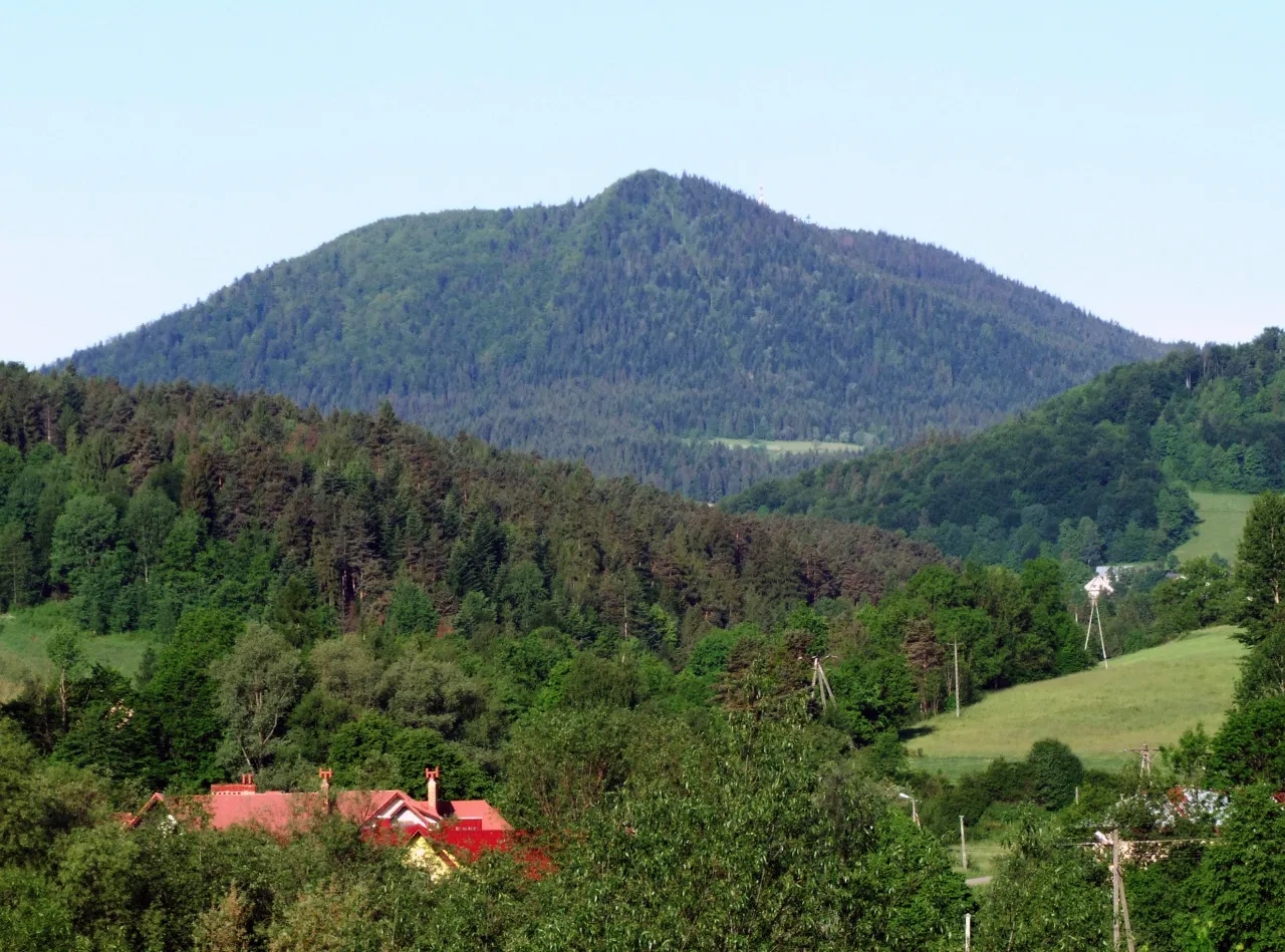 Wielki Luboń Mountain, Lubień11 km E
-
Soska Mountain, Gmina Bystra-Sidzina11 km W
-
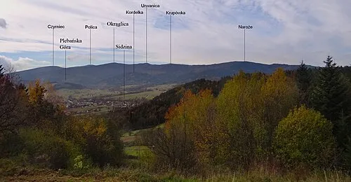 Naroże Mountain, Gmina Bystra-Sidzina12 km W
Sources & licences
Data last updated: