
- Elevation
- 1,206 m
- above sea level
- Local time
- UTC+01:00
- Europe/Warsaw · UTC+01:00
- Airports
- TAT Poprad-Tatry Airport29 km
- KRK Kraków John Paul II International Airport90 km
About Nosal
Nosal is a mountain. Location: Zakopane, Tatra County. Elevation: 1,206 m.
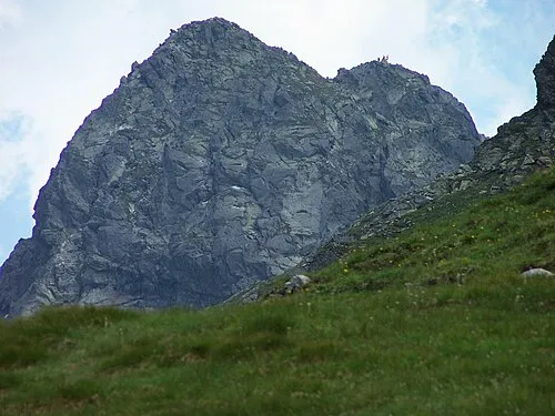
Nosal (lit. 'The Nose') is a mountain in the Tatra Mountains of Poland, and is 1,206 metres AMSL at its highest, rising over Bystra Valley and Olczyska Valley next to the town of Zakopane. Exposed limestone rocks visible on the mountain resemble a nose, hence the name. It's known as a place for skiing and gliding.
Source: Wikipedia · CC BY-SA 4.0
Photos of Nosal
-

Qvidemus · CC BY 3.0 -

Cybularny · CC0 -

Cybularny · CC0 -

Andrzej Otrębski · CC BY-SA 4.0 -

Andrzej Otrębski · CC BY-SA 4.0


Climate of Nosal
This month · November
A cold month
Day 3° · Night -4° · Rain 79 mm
- Hottest month
- July (day 18°)
- Coldest month
- January (night -9°)
- Wettest month
- July (173 mm)
- Driest month
- February (58 mm)
Bars: average monthly low and high temperature. Below: precipitation. Monthly averages for 1970–2000 at about 18 km resolution, adjusted for elevation. Highlighted months are mild and relatively dry. Source: WorldClim 2.1 (CC BY 4.0).
Show values as a table
| Month | Jan | Feb | Mar | Apr | May | Jun | Jul | Aug | Sep | Oct | Nov | Dec |
|---|---|---|---|---|---|---|---|---|---|---|---|---|
| Average high (°C) | -1° | -1° | 2° | 7° | 13° | 16° | 18° | 18° | 13° | 9° | 3° | -1° |
| Average low (°C) | -9° | -9° | -6° | -2° | 3° | 6° | 8° | 7° | 4° | 0° | -4° | -7° |
| Precipitation (mm) | 60 | 58 | 68 | 95 | 132 | 171 | 173 | 150 | 114 | 79 | 79 | 74 |
How to get to Nosal
The nearest airport is Poprad-Tatry Airport (TAT), 29 km to the southeast as the crow flies. For international flights: Kraków John Paul II International Airport (KRK) (90 km). The nearest large city is Košice, 112 km to the southeast.
Airports
- Poprad-Tatry Airport (TAT) Poprad 29 kmsoutheast
- Kraków John Paul II International Airport (KRK) Balice 90 kmnorth
- Sliač Airport (SLD) Sliač 95 kmsouthwest
Nearby large cities
- Košice Population: 225K 112 kmsoutheast
- Miskolc Population: 154.5K 143 kmsoutheast
- Nyíregyháza Population: 117.7K 194 kmsoutheast
- Debrecen Population: 202.4K 229 kmsoutheast
- Brno Population: 404.3K 246 kmwest
Straight-line distances; road distances are longer. Airport data: OurAirports.
Day trips from Nosal
Within 100 km: 34 historic and cultural sites, 348 natural sites, 13 lakes, rivers and coasts.
0–25 km98 places
- Skalnaté pleso Lake 20 kmSE
- Popradské Pleso Lake 15 kmSE
- Ostrá Mountain 13 kmS
- Vysoká Mountain 14 kmSE
25–60 km115 places
- Čertovica Mountain 44 kmSW
- Ľubica River 36 kmSE
- Červený Kláštor Attraction 34 kmNE
- Orava Castle Historic site 46 kmW
60–100 km182 places
- Branisko Mountain 71 kmE
- Veľký Kriváň Mountain 71 kmW
- Tlstá Mountain 84 kmSW
- Rakytov Mountain 69 kmSW
Straight-line distances.
Nearest towns and villages
-
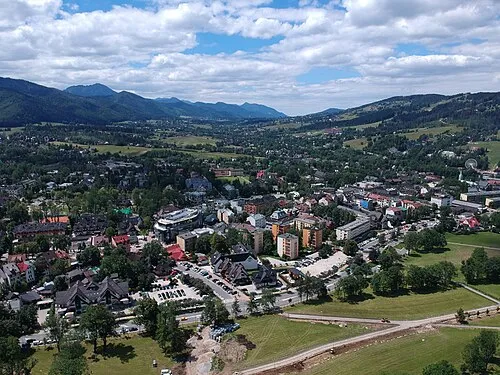 Zakopane Town, Zakopane3.9 km NW
-
Murzasichle Village, Gmina Poronin4.6 km NE
-
Gmina Poronin Municipality, Tatra County6.4 km E
-
Poronin Village, Gmina Poronin6.9 km N
-
Kościelisko Village, Kościelisko7.5 km W
-
Gmina Bukowina Tatrzańska Municipality, Tatra County9.3 km NE
Nearby attractions & nature
Everything nearby-
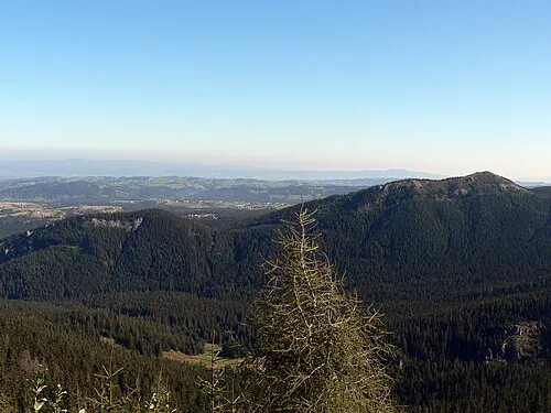 Mały Kopieniec Mountain, Zakopane1.1 km E
-
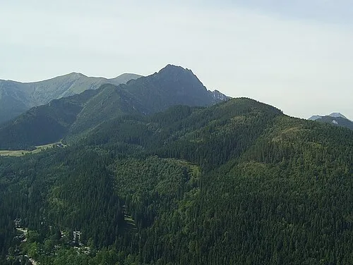 Krokiew Mountain, Zakopane2.1 km SW
-
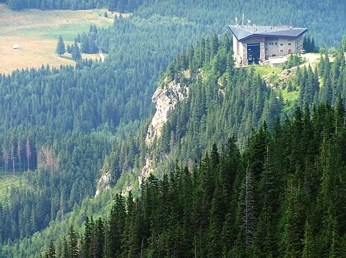 Myślenickie Turnie Mountain, Zakopane3 km S
-
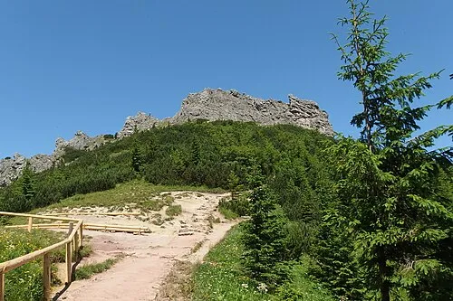 Sarnia Skała Mountain, Zakopane3.8 km W
-
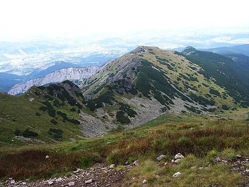 Uhrocie Kasprowe Mountain, Zakopane4.2 km S
-
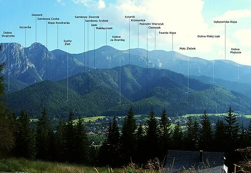 Samkowa Czuba Mountain, Zakopane4.6 km W
-
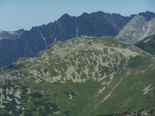 Kasprowy Wierch Mountain, Zakopane5 km S
-
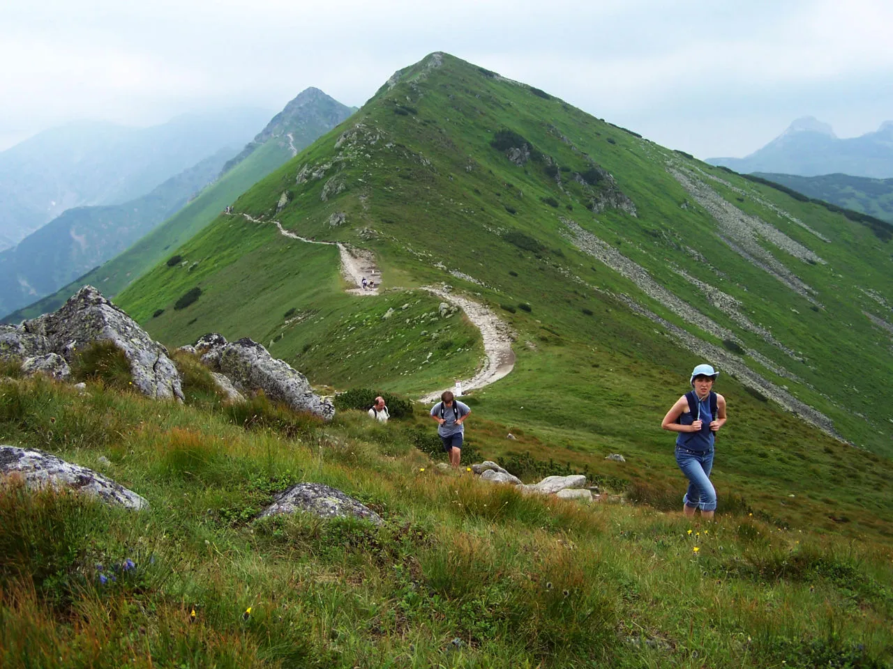 Pośredni Wierch Goryczkowy Mountain, Zakopane5.3 km S
More nature in Poland
-
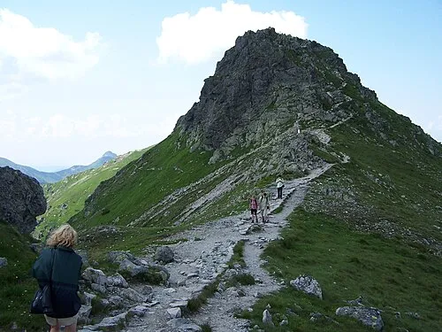 Beskid Mountain, Zakopane5.3 km S
-
 Goryczkowa Czuba Mountain, Zakopane5.4 km SW
-
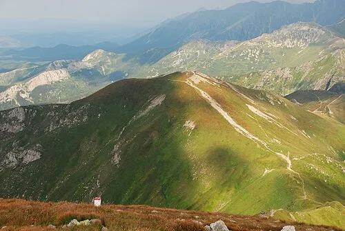 Kopa Kondracka Mountain, Zakopane6.1 km SW
-
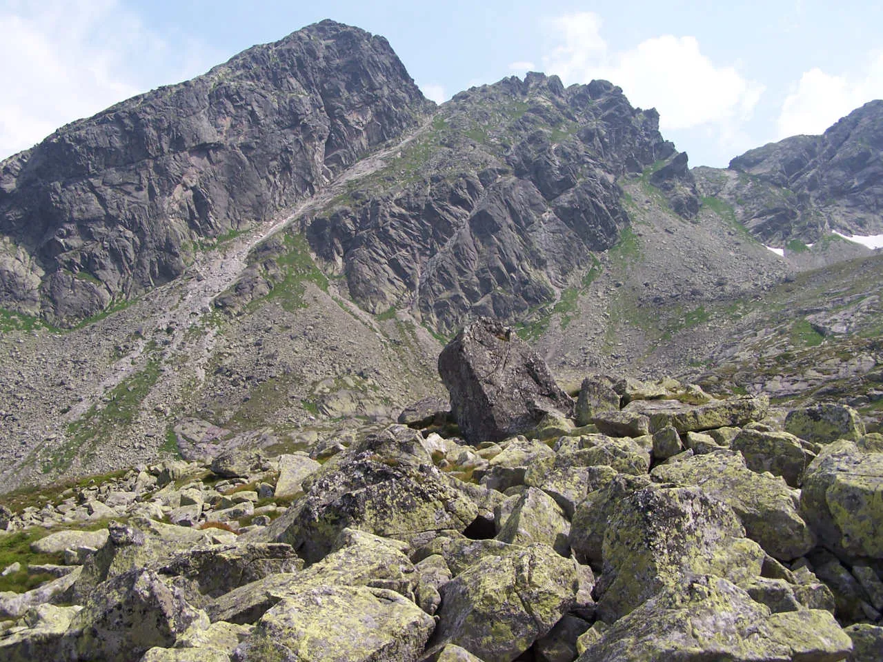 Zadni Kościelec Mountain, Zakopane6.2 km S
-
 Świnica Mountain, Zakopane6.5 km S
-
Zawratowa Turnia Mountain, Zakopane6.6 km S
Sources & licences
Data last updated: · 2 independent sources