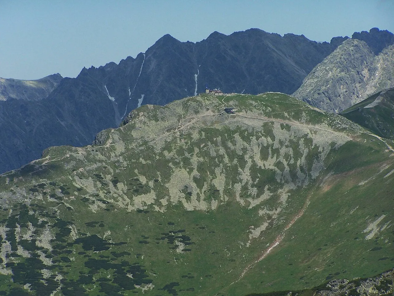
- Elevation
- 1,961 m
- above sea level
- Local time
- UTC+01:00
- Europe/Warsaw · UTC+01:00
- Airports
- TAT Poprad-Tatry Airport26 km
- SLD Sliač Airport91 km
About Kasprowy Wierch
Kasprowy Wierch is a mountain. Location: Zakopane, Tatra County. Elevation: 1,961 m.
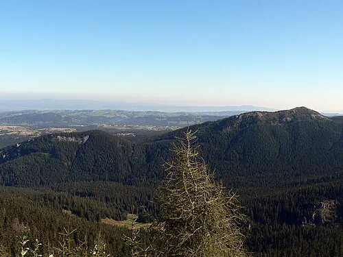
Kasprowy Wierch (Polish pronunciation: [kasˈprɔvɨ ˈvjɛrx]; Slovak: Kasprov vrch; sometimes in English Kasper Peak) is a peak of a long crest in the Western Tatras, one of Poland's main winter ski areas. Its dominant southern crests mark the border with Slovakia. It is accessible in most conditions by foot and daily by cablecar.
Source: Wikipedia · CC BY-SA 4.0
Photos of Kasprowy Wierch
-

Radek Kucharski · CC BY 4.0 -

Cybularny · CC0 -

Cybularny · CC0 -

Bartosz Nadolski · CC0 -

Matphoto · CC BY 3.0


Climate of Kasprowy Wierch
This month · November
A cold month
Day -2° · Night -9° · Rain 79 mm
- Hottest month
- July (day 13°)
- Coldest month
- January (night -14°)
- Wettest month
- July (173 mm)
- Driest month
- February (58 mm)
Bars: average monthly low and high temperature. Below: precipitation. Monthly averages for 1970–2000 at about 18 km resolution, adjusted for elevation. Highlighted months are mild and relatively dry. Source: WorldClim 2.1 (CC BY 4.0).
Show values as a table
| Month | Jan | Feb | Mar | Apr | May | Jun | Jul | Aug | Sep | Oct | Nov | Dec |
|---|---|---|---|---|---|---|---|---|---|---|---|---|
| Average high (°C) | -6° | -6° | -3° | 2° | 8° | 11° | 13° | 13° | 8° | 4° | -2° | -6° |
| Average low (°C) | -14° | -13° | -11° | -7° | -2° | 1° | 3° | 2° | -1° | -5° | -9° | -12° |
| Precipitation (mm) | 60 | 58 | 68 | 95 | 132 | 171 | 173 | 150 | 114 | 79 | 79 | 74 |
How to get to Kasprowy Wierch
The nearest airport is Poprad-Tatry Airport (TAT), 26 km to the southeast as the crow flies. For international flights: Kraków John Paul II International Airport (KRK) (95 km). The nearest large city is Košice, 110 km to the southeast.
Airports
- Poprad-Tatry Airport (TAT) Poprad 26 kmsoutheast
- Sliač Airport (SLD) Sliač 91 kmsouthwest
- Kraków John Paul II International Airport (KRK) Balice 95 kmnorth
Nearby large cities
- Košice Population: 225K 110 kmsoutheast
- Miskolc Population: 154.5K 139 kmsoutheast
- Nyíregyháza Population: 117.7K 191 kmsoutheast
- Debrecen Population: 202.4K 225 kmsoutheast
- Bratislava Population: 423.7K 244 kmsouthwest
Straight-line distances; road distances are longer. Airport data: OurAirports.
Day trips from Kasprowy Wierch
Within 100 km: 30 historic and cultural sites, 346 natural sites, 14 lakes, rivers and coasts.
0–25 km96 places
- Skalnaté pleso Lake 19 kmE
- Popradské Pleso Lake 11 kmSE
- Ostrá Mountain 8 kmS
- Vysoká Mountain 11 kmSE
25–60 km104 places
- Beskids Mountain 28 kmNE
- Čertovica Mountain 39 kmSW
- Ľubica River 35 kmE
- Červený Kláštor Attraction 37 kmNE
60–100 km190 places
- Branisko Mountain 70 kmE
- Veľký Kriváň Mountain 69 kmW
- Tlstá Mountain 81 kmSW
- Rakytov Mountain 66 kmSW
Straight-line distances.
Nearest towns and villages
-
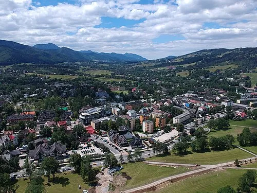 Zakopane Town, Zakopane7.8 km N
-
Gmina Poronin Municipality, Tatra County9.7 km NE
-
Murzasichle Village, Gmina Poronin8.9 km NE
-
Kościelisko Village, Kościelisko9.4 km NW
-
Kościelisko Municipality, Tatra County11 km NW
-
Gmina Bukowina Tatrzańska Municipality, Tatra County13 km NE
Nearby attractions & nature
Everything nearby-
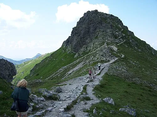 Beskid Mountain, Zakopane0.5 km SE
-
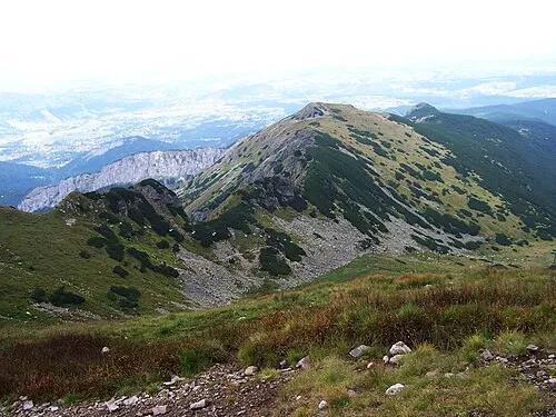 Uhrocie Kasprowe Mountain, Zakopane1 km NE
-
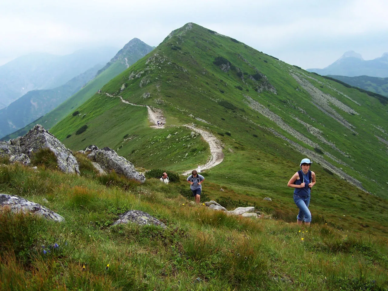 Pośredni Wierch Goryczkowy Mountain, Zakopane1.1 km W
-
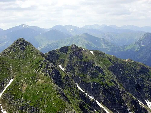 Skrajna Turnia Mountain, Lesser Poland Voivodeship1.5 km SE
-
 Goryczkowa Czuba Mountain, Zakopane1.8 km W
-
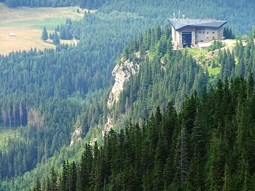 Myślenickie Turnie Mountain, Zakopane2.3 km N
-
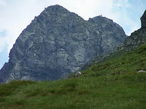 Świnica Mountain, Zakopane2.4 km SE
-
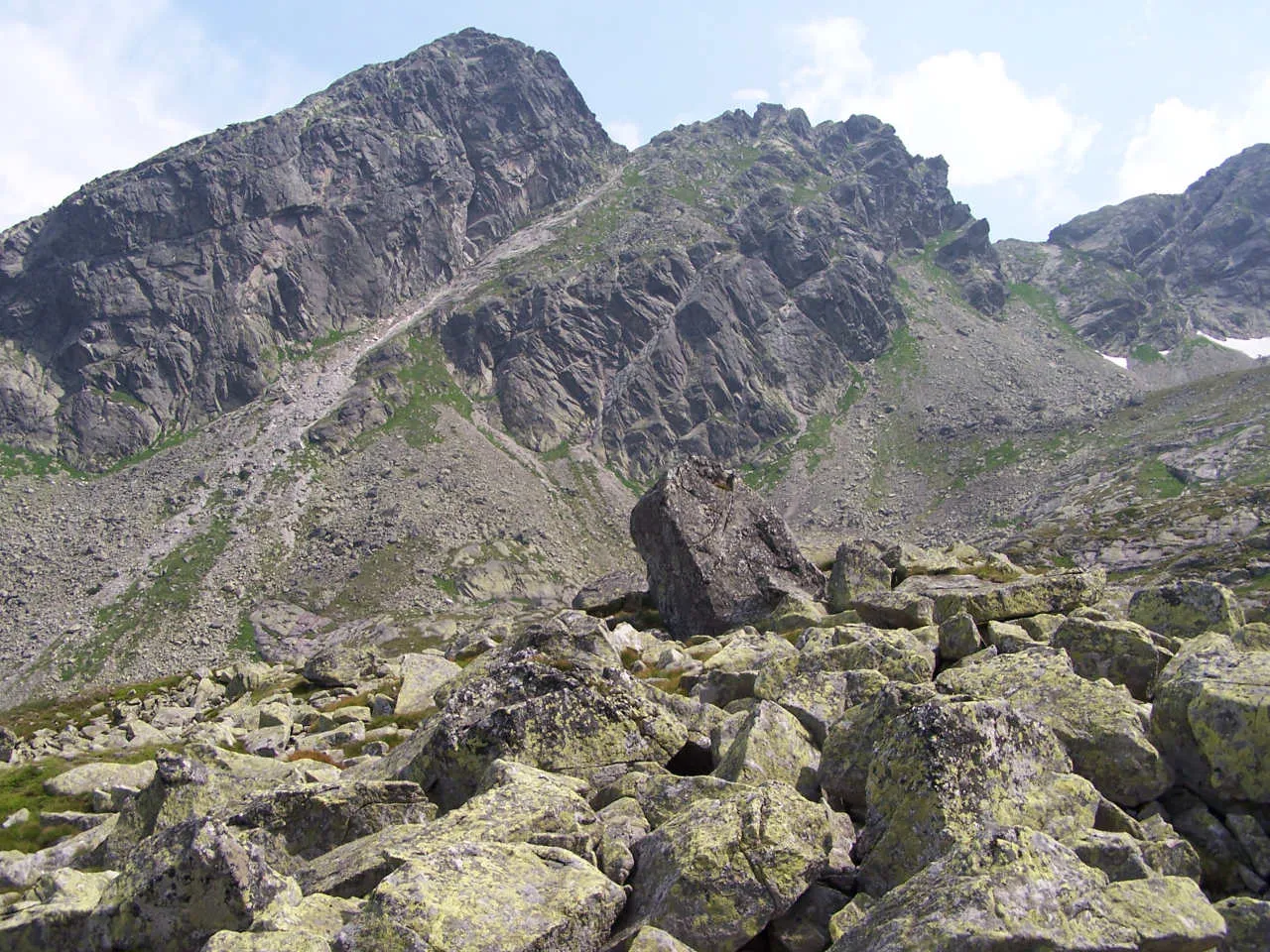 Zadni Kościelec Mountain, Zakopane2.7 km E
More nature in Poland
-
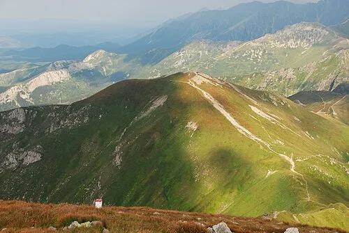 Kopa Kondracka Mountain, Zakopane3.6 km W
-
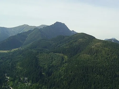 Krokiew Mountain, Zakopane4.1 km N
-
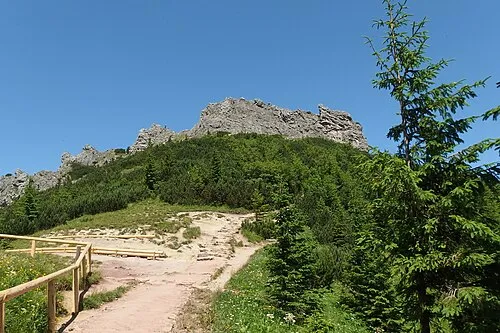 Sarnia Skała Mountain, Zakopane4.7 km NW
-
 Nosal Mountain, Zakopane5 km N
-
 Mały Kopieniec Mountain, Zakopane5.2 km N
-
Zawratowa Turnia Mountain, Zakopane2.8 km SE
Sources & licences
Data last updated: · 2 independent sources