Kościelisko
Located in Tatra County, Lesser Poland Voivodeship Coordinates: 49°16′24″ N 19°50′47″ E
- Population
- 8,747
- 8.7K
- Elevation
- 964 m
- above sea level
- Local time
- UTC+01:00
- Europe/Warsaw · UTC+01:00
- Places inside
- 20
- listed under Kościelisko
About Kościelisko
Kościelisko is a municipality. Location: Tatra County, Lesser Poland Voivodeship. Population: 8,747. Elevation: 964 m.
In comparison
- No. 4 of 5 places in Tatra County by population
- Nearest larger town: Zakopane, 8 km E
- 35 sights and natural places within 10 km Kopki, Pośrednia Kopka
- Listed here: Mountain: 18, Village: 2
Places in Kościelisko
20 places-
Kościelisko Village3.9K
-
Witów Village1.7K
-
Bobrowiec Mountain
-
Ciemniak Mountain
-
Czubik Mountain
-
Hruby Regiel Mountain
-
Kominy Tylkowe Mountain
-
Kończysta Mountain
-
Kopki Mountain
-
Ostrysz Mountain
-
Pośrednia Kopka Mountain
-
Przednia Kopka Mountain
-
Rakoń Mountain
-
Siwy Zwornik Mountain
-
Suchy Tomanowy Mountain
-
Trzydniowiański Wierch Mountain
-
Upłazińska Kopa Mountain
-
Wielkie Spalenisko Mountain
-
Wielki Opalony Wierch Mountain
-
Zadni Ornak Mountain
Nearby attractions & nature
Everything nearby-
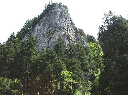 Dolina Kościeliska Natural site, Lesser Poland Voivodeship3 km SE
-
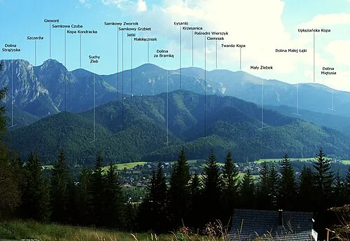 Samkowa Czuba Mountain, Zakopane5.8 km E
-
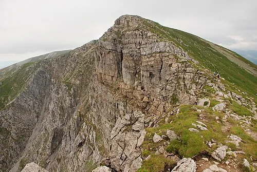 Krzesanica Mountain, Lesser Poland Voivodeship6.6 km SE
-
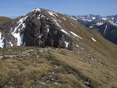 Czerwone Wierchy Mountain, Lesser Poland Voivodeship6.8 km SE
-
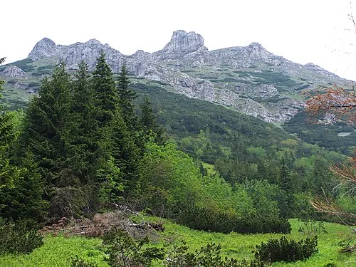 Stoły Mountain, Lesser Poland Voivodeship6.9 km SE
-
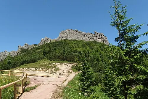 Sarnia Skała Mountain, Zakopane6.9 km E
-
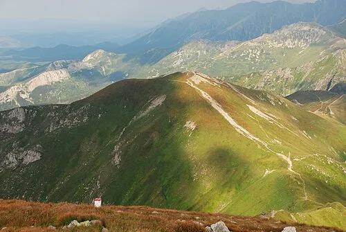 Kopa Kondracka Mountain, Zakopane7.5 km SE
-
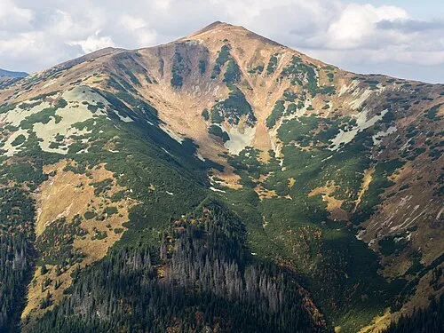 Tomanowy Wierch Polski Mountain, Poland7.8 km SE
Sources & licences
Data last updated: