Dolina Kościeliska
Located in Lesser Poland Voivodeship, Poland Coordinates: 49°15′00″ N 19°52′00″ E

- Elevation
- 1,099 m
- above sea level
- Local time
- UTC+01:00
- Europe/Warsaw · UTC+01:00
About Dolina Kościeliska
Dolina Kościeliska is a natural site. Location: Lesser Poland Voivodeship, Poland.
The Kościeliska is a valley in Poland, in Tatra Mountains, Western Tatras, Poland. It stretches from the village of Kiry, about 9 km, right up to the main ridge of the Tatras. Halfway up is the Ornak mountain refuge, built in 1948. Is reached by road from Zakopane - 7 km.
Read more on Wikipedia Text: Wikipedia contributors · CC BY-SA 4.0 · shortened
In comparison
- 37 sights and natural places within 10 km Kominy Tylkowe, Upłazińska Kopa
Nearest towns and villages
-
Kościelisko Municipality, Tatra County3 km NW
-
Kościelisko Village, Kościelisko4.8 km N
-
Zakopane Municipality, Tatra County8.2 km E
-
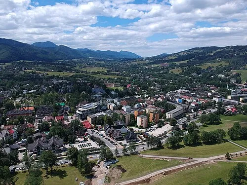 Zakopane Town, Zakopane8.1 km NE
-
Witów Village, Kościelisko8.8 km N
-
Gmina Poronin Municipality, Tatra County16 km E
Nearby attractions & nature
Everything nearby-
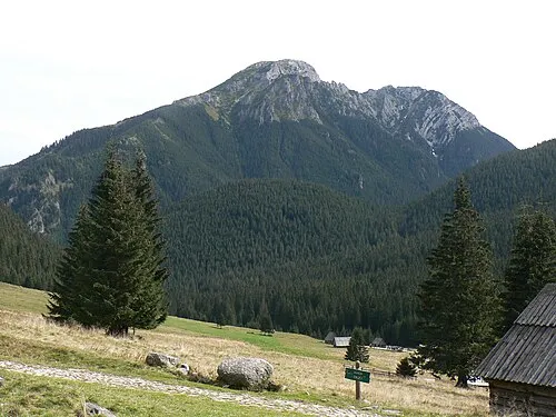 Kominy Tylkowe Mountain, Kościelisko1.2 km W
-
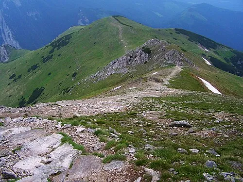 Upłazińska Kopa Mountain, Kościelisko1.9 km SE
-
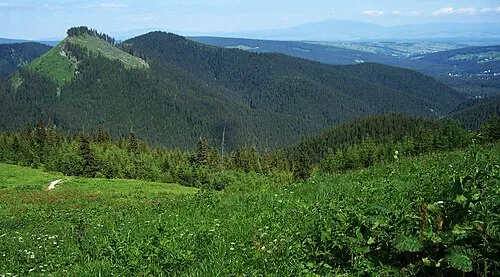 Pośrednia Kopka Mountain, Kościelisko2.1 km NW
-
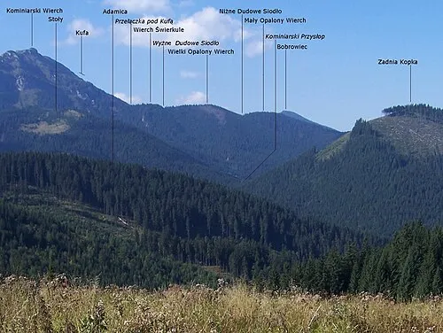 Wielki Opalony Wierch Mountain, Kościelisko2.2 km W
-
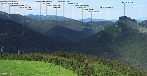 Wielkie Spalenisko Mountain, Kościelisko2.4 km W
-
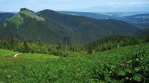 Kopki Mountain, Kościelisko2.2 km NW
-
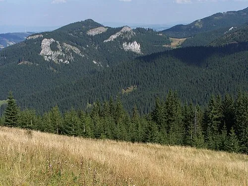 Hruby Regiel Mountain, Kościelisko2.6 km NE
-
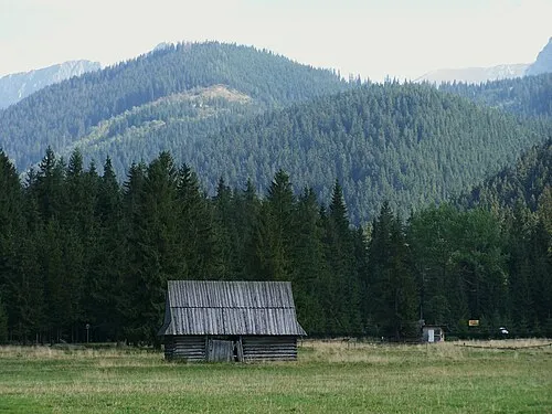 Przednia Kopka Mountain, Kościelisko2.7 km N
More nature in Poland
-
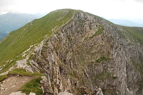 Ciemniak Mountain, Kościelisko3.4 km SE
-
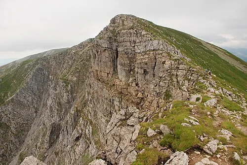 Krzesanica Mountain, Lesser Poland Voivodeship3.8 km SE
-
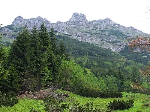 Stoły Mountain, Lesser Poland Voivodeship4 km SE
-
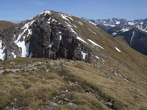 Czerwone Wierchy Mountain, Lesser Poland Voivodeship4.1 km SE
-
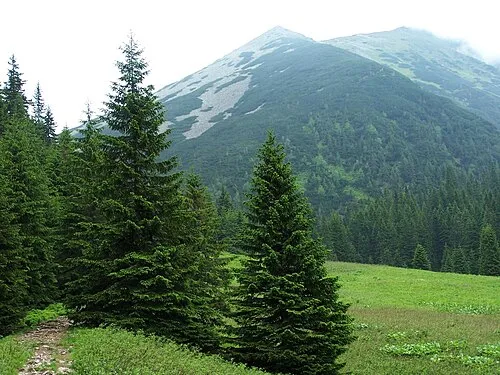 Suchy Tomanowy Mountain, Kościelisko4.5 km SE
-
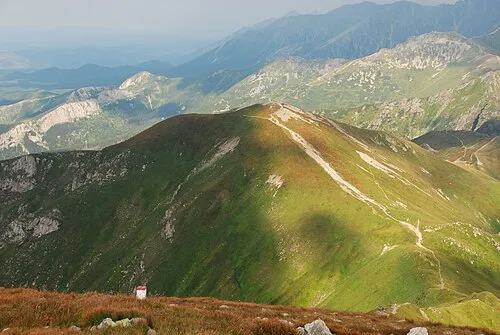 Kopa Kondracka Mountain, Zakopane5 km E
Sources & licences
Data last updated: · 2 independent sources