Czerwone Wierchy
Located in Lesser Poland Voivodeship, Poland Coordinates: 49°14′00″ N 19°55′00″ E

- Elevation
- 2,014 m
- above sea level
- Local time
- UTC+01:00
- Europe/Warsaw · UTC+01:00
About Czerwone Wierchy
Czerwone Wierchy is a mountain. Location: Lesser Poland Voivodeship, Poland. Elevation: 2,014 m.
Czerwone Wierchy (Slovak: Červené vrchy, also known as Red Peaks) are a group of four grassy and domed peaks located on the main ridge of the Western Tatras on the border between Poland and Slovakia. Their name derives from the rush Juncus trifidus, in which the peaks are covered and whose blades turn red in autumn.
Read more on Wikipedia Text: Wikipedia contributors · CC BY-SA 4.0 · shortened
In comparison
- No. 34 of 887 mountains in Poland by elevation
- 52 sights and natural places within 10 km Krzesanica, Ciemniak
Nearest towns and villages
-
Zakopane Municipality, Tatra County6.2 km NE
-
Kościelisko Municipality, Tatra County6.8 km NW
-
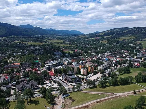 Zakopane Town, Zakopane7.7 km N
-
Kościelisko Village, Kościelisko6.7 km N
-
Gmina Poronin Municipality, Tatra County13 km NE
-
Murzasichle Village, Gmina Poronin12 km NE
Nearby attractions & nature
Everything nearby-
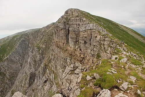 Krzesanica Mountain, Lesser Poland Voivodeship0.5 km W
-
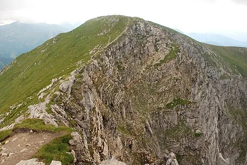 Ciemniak Mountain, Kościelisko1 km W
-
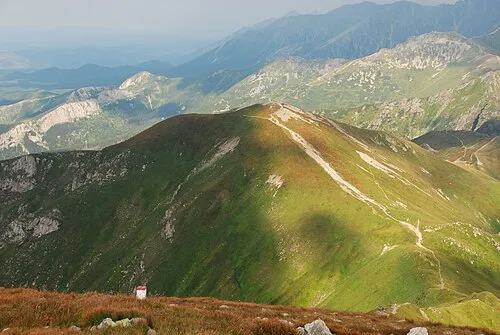 Kopa Kondracka Mountain, Zakopane1.2 km E
-
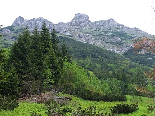 Stoły Mountain, Lesser Poland Voivodeship1.3 km SW
-
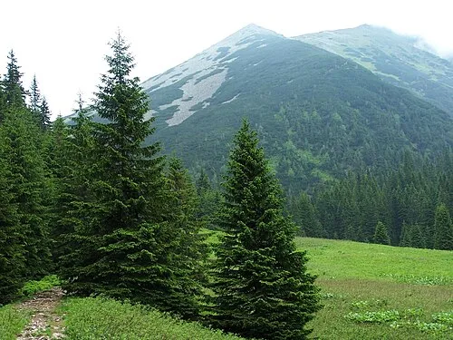 Suchy Tomanowy Mountain, Kościelisko2.1 km SW
-
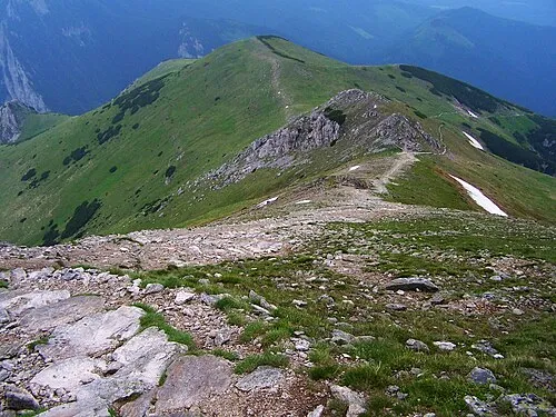 Upłazińska Kopa Mountain, Kościelisko2.3 km W
-
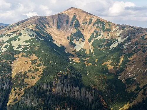 Tomanowy Wierch Polski Mountain, Poland2.5 km SW
-
 Goryczkowa Czuba Mountain, Zakopane3 km E
More nature in Poland
-
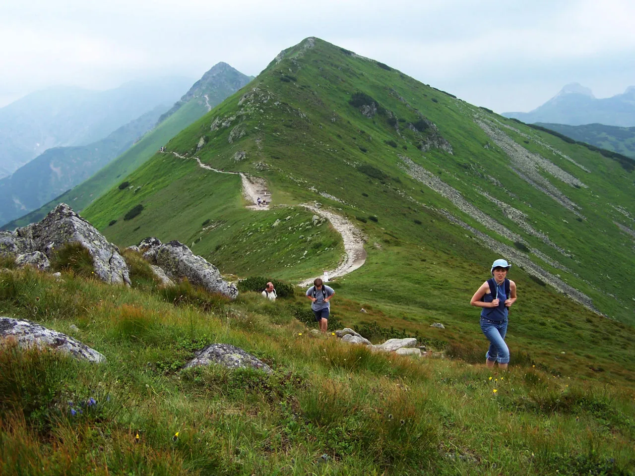 Pośredni Wierch Goryczkowy Mountain, Zakopane3.6 km E
-
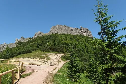 Sarnia Skała Mountain, Zakopane3.9 km NE
-
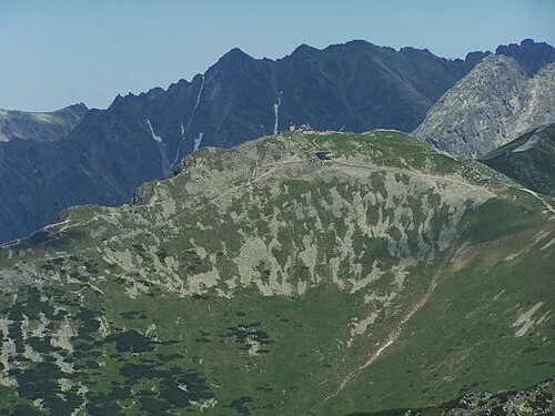 Kasprowy Wierch Mountain, Zakopane4.7 km E
-
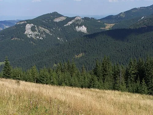 Hruby Regiel Mountain, Kościelisko4.3 km NW
-
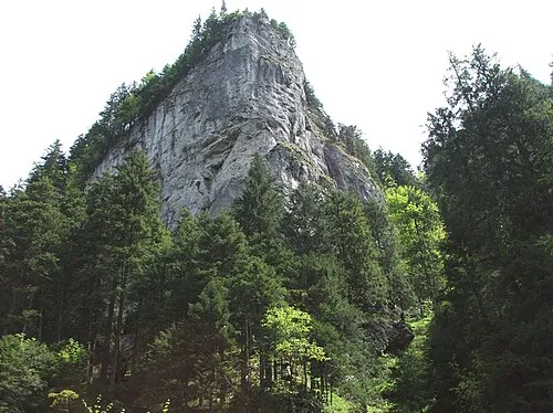 Dolina Kościeliska Natural site, Lesser Poland Voivodeship4.1 km NW
-
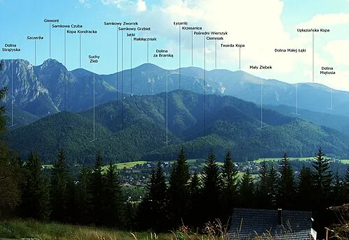 Samkowa Czuba Mountain, Zakopane4.4 km N
Sources & licences
Data last updated: · 2 independent sources