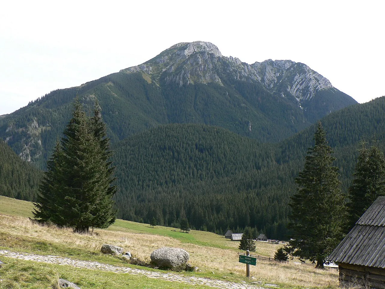
- Elevation
- 1,271 m
- above sea level
- Local time
- UTC+01:00
- Europe/Warsaw · UTC+01:00
- Airports
- TAT Poprad-Tatry Airport35 km
- SLD Sliač Airport86 km
About Kominy Tylkowe
Kominy Tylkowe is a mountain. Location: Kościelisko, Tatra County. Elevation: 1,271 m.
Kominiarski Wierch is a mountain situated in the Western Tatras mountain range, between the Kościeliska Valley and the Chochołowska Valley. It has an elevation of 1829 meters and a prominence of 369 meters, which is the most prominent peak in the entire Polish Tatras. The massif is made up of limestone and features numerous caves, including the Bańdzioch Kominiarski, which is one of the longest and deepest caves in the Polish Tatras.
Source: Wikipedia · CC BY-SA 4.0
Photos of Kominy Tylkowe
-
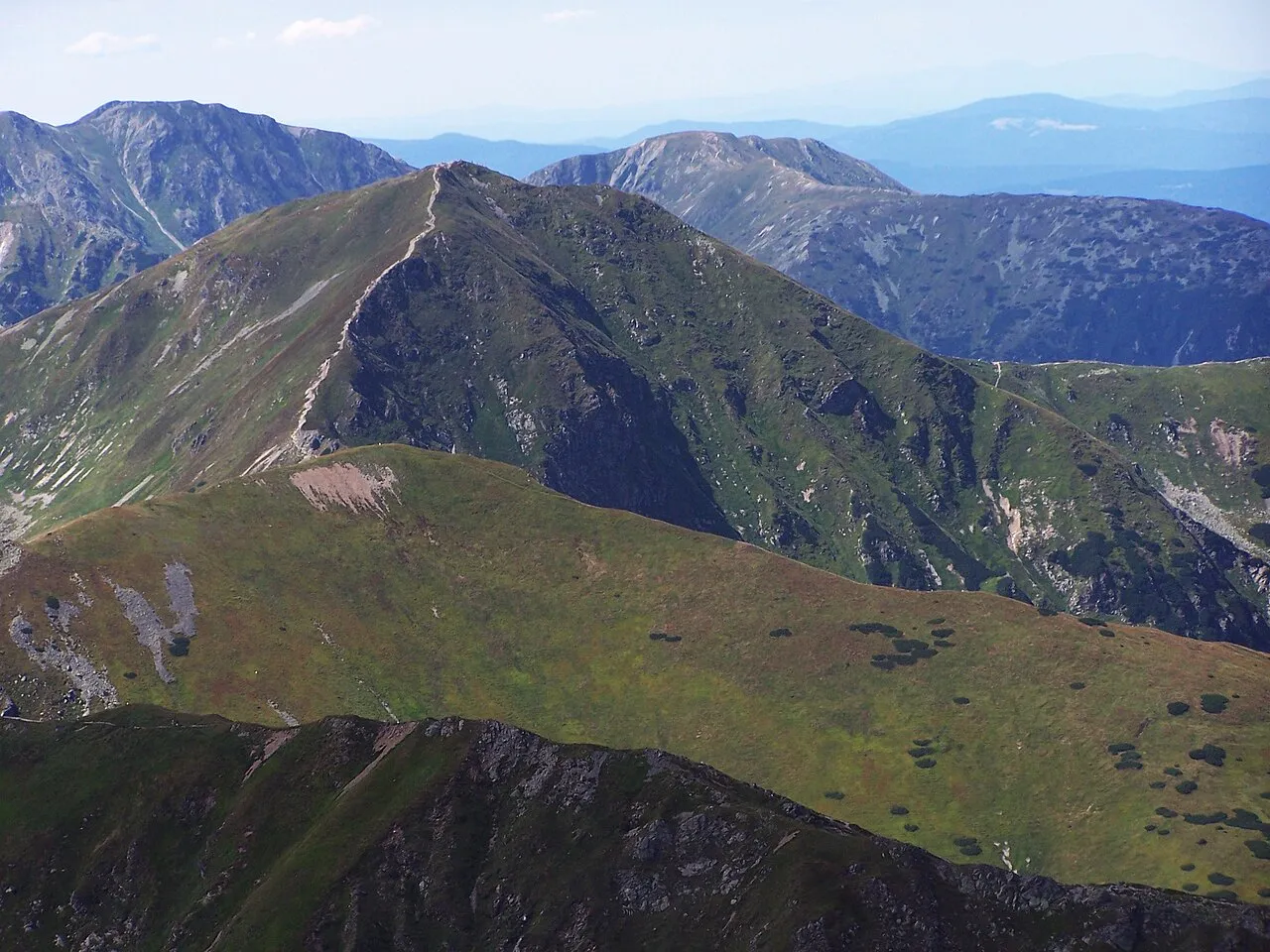
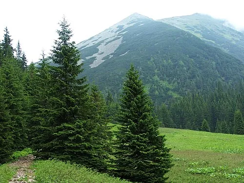
Volovec Opioła Jerzy · CC BY 2.5 -
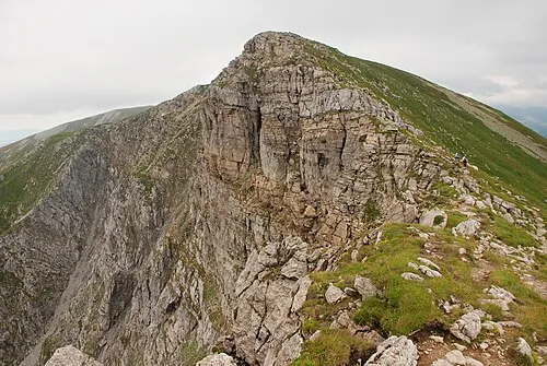
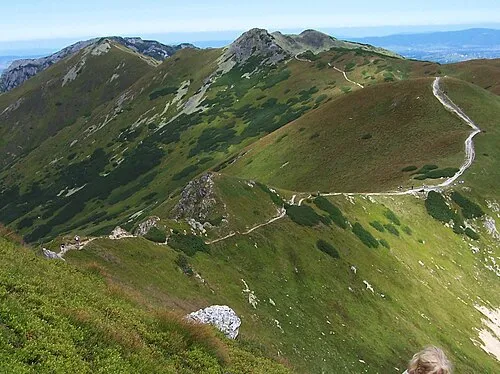
Krzesanica Hubert Waguła · CC BY-SA 4.0 -
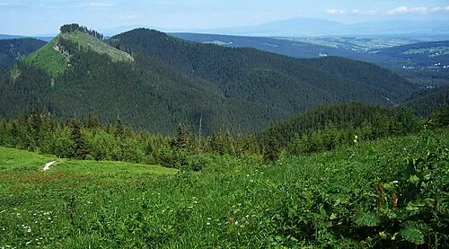
Kopki Jerzy opioła · CC BY-SA 3.0 -
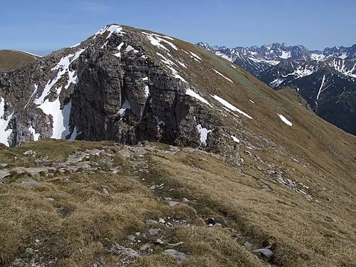
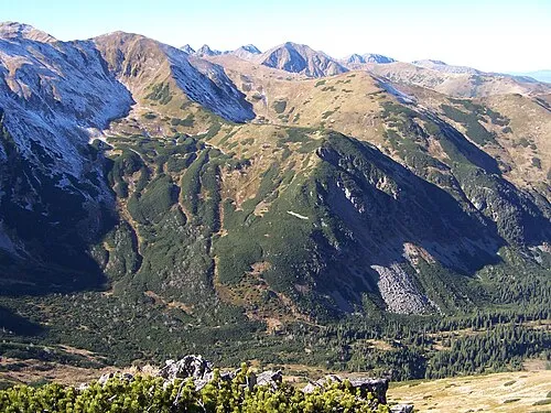
Czerwone Wierchy Jerzy Opioła · CC BY-SA 4.0 -
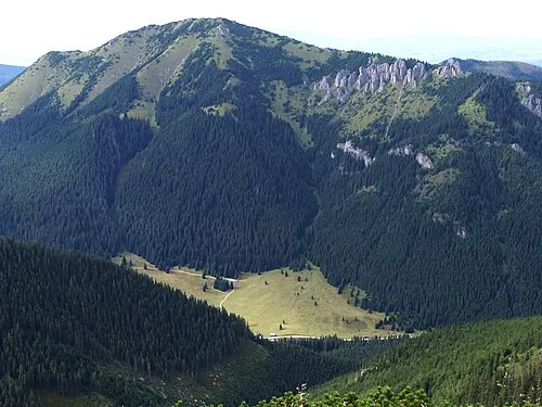
Bobrowiec Opioła Jerzy · CC BY 2.5


Climate of Kominy Tylkowe
This month · November
A cold month
Day 2° · Night -4° · Rain 79 mm
- Hottest month
- July (day 17°)
- Coldest month
- January (night -9°)
- Wettest month
- July (173 mm)
- Driest month
- February (58 mm)
Bars: average monthly low and high temperature. Below: precipitation. Monthly averages for 1970–2000 at about 18 km resolution, adjusted for elevation. Highlighted months are mild and relatively dry. Source: WorldClim 2.1 (CC BY 4.0).
Show values as a table
| Month | Jan | Feb | Mar | Apr | May | Jun | Jul | Aug | Sep | Oct | Nov | Dec |
|---|---|---|---|---|---|---|---|---|---|---|---|---|
| Average high (°C) | -2° | -2° | 1° | 6° | 13° | 15° | 17° | 17° | 13° | 8° | 2° | -1° |
| Average low (°C) | -9° | -9° | -6° | -2° | 3° | 5° | 7° | 7° | 4° | 0° | -4° | -8° |
| Precipitation (mm) | 60 | 58 | 68 | 95 | 132 | 171 | 173 | 150 | 114 | 79 | 79 | 74 |
How to get to Kominy Tylkowe
The nearest airport is Poprad-Tatry Airport (TAT), 35 km to the southeast as the crow flies. For international flights: Kraków John Paul II International Airport (KRK) (92 km). The nearest large city is Košice, 119 km to the southeast.
Airports
- Poprad-Tatry Airport (TAT) Poprad 35 kmsoutheast
- Sliač Airport (SLD) Sliač 86 kmsouthwest
- Kraków John Paul II International Airport (KRK) Balice 92 kmnorth
Nearby large cities
- Košice Population: 225K 119 kmsoutheast
- Miskolc Population: 154.5K 145 kmsoutheast
- Nyíregyháza Population: 117.7K 199 kmsoutheast
- Debrecen Population: 202.4K 232 kmsoutheast
- Brno Population: 404.3K 236 kmwest
Straight-line distances; road distances are longer. Airport data: OurAirports.
Day trips from Kominy Tylkowe
Within 100 km: 38 historic and cultural sites, 350 natural sites, 15 lakes, rivers and coasts.
0–25 km90 places
- Popradské Pleso Lake 20 kmSE
- Ostrá Mountain 16 kmSE
- Vysoká Mountain 20 kmSE
- Ľadový štít Mountain 25 kmE
25–60 km128 places
- Skalnaté pleso Lake 29 kmE
- Slavkovský štít Mountain 26 kmE
- Beskids Mountain 34 kmNE
- Rakytov Mountain 59 kmSW
60–100 km185 places
- Korňa River 92 kmW
- Branisko Mountain 80 kmE
- Veľký Kriváň Mountain 60 kmW
- Tlstá Mountain 73 kmSW
Straight-line distances.
Nearest towns and villages
-
Kościelisko Village, Kościelisko5.4 km NE
-
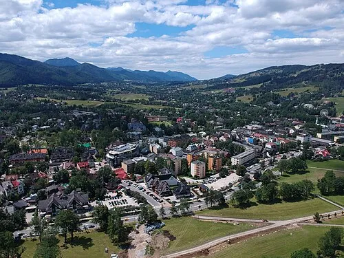 Zakopane Town, Zakopane9 km NE
-
Zakopane Municipality, Tatra County9.3 km E
-
Witów Village, Kościelisko8.5 km N
-
 Suchá Hora Village, Tvrdošín District14 km N
-
 Vitanová Village, Tvrdošín District15 km NW
Nearby attractions & nature
Everything nearby-
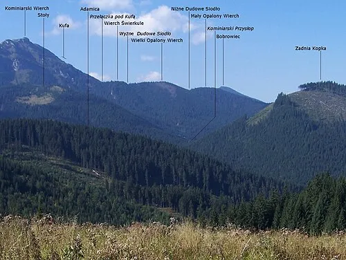 Wielki Opalony Wierch Mountain, Kościelisko1 km W
-
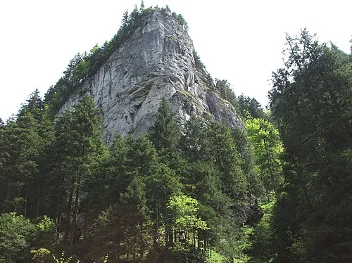 Dolina Kościeliska Natural site, Lesser Poland Voivodeship1.2 km E
-
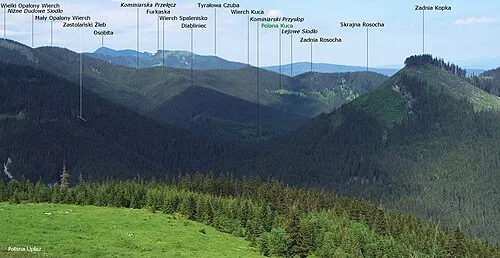 Wielkie Spalenisko Mountain, Kościelisko1.3 km NW
-
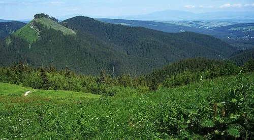 Pośrednia Kopka Mountain, Kościelisko1.8 km N
-
Kopki Mountain, Kościelisko1.9 km N
-
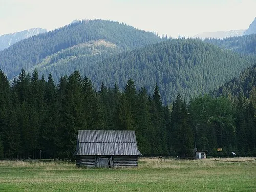 Przednia Kopka Mountain, Kościelisko2.8 km N
-
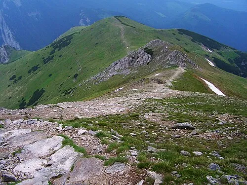 Upłazińska Kopa Mountain, Kościelisko2.9 km E
-
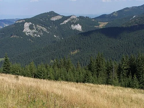 Hruby Regiel Mountain, Kościelisko3.5 km NE
More nature in Poland
-
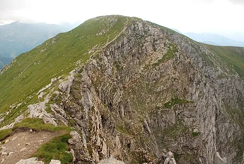 Ciemniak Mountain, Kościelisko4.4 km SE
-
Bobrowiec Mountain, Kościelisko4.8 km W
-
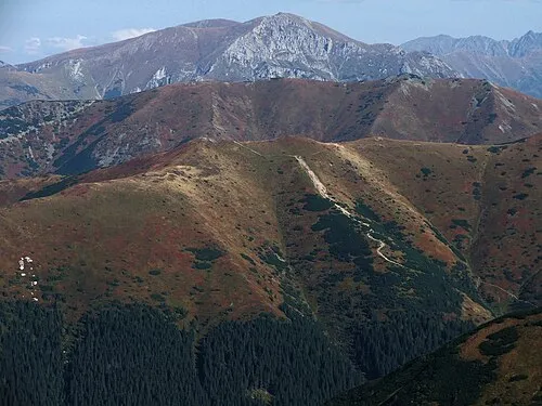 Trzydniowiański Wierch Mountain, Kościelisko4.8 km SW
-
 Suchy Tomanowy Mountain, Kościelisko5.3 km SE
-
 Zadni Ornak Mountain, Kościelisko4.3 km S
-
 Kończysta Mountain, Kościelisko5.8 km SW
Sources & licences
Data last updated: · 2 independent sources